| Author | whokrz |
| Year | 2009 |
| Trail Open | It make close in the winter and would be terrifying to drive up or down in bad weather. |
| Difficulty | Moderate [6] |
| Description |
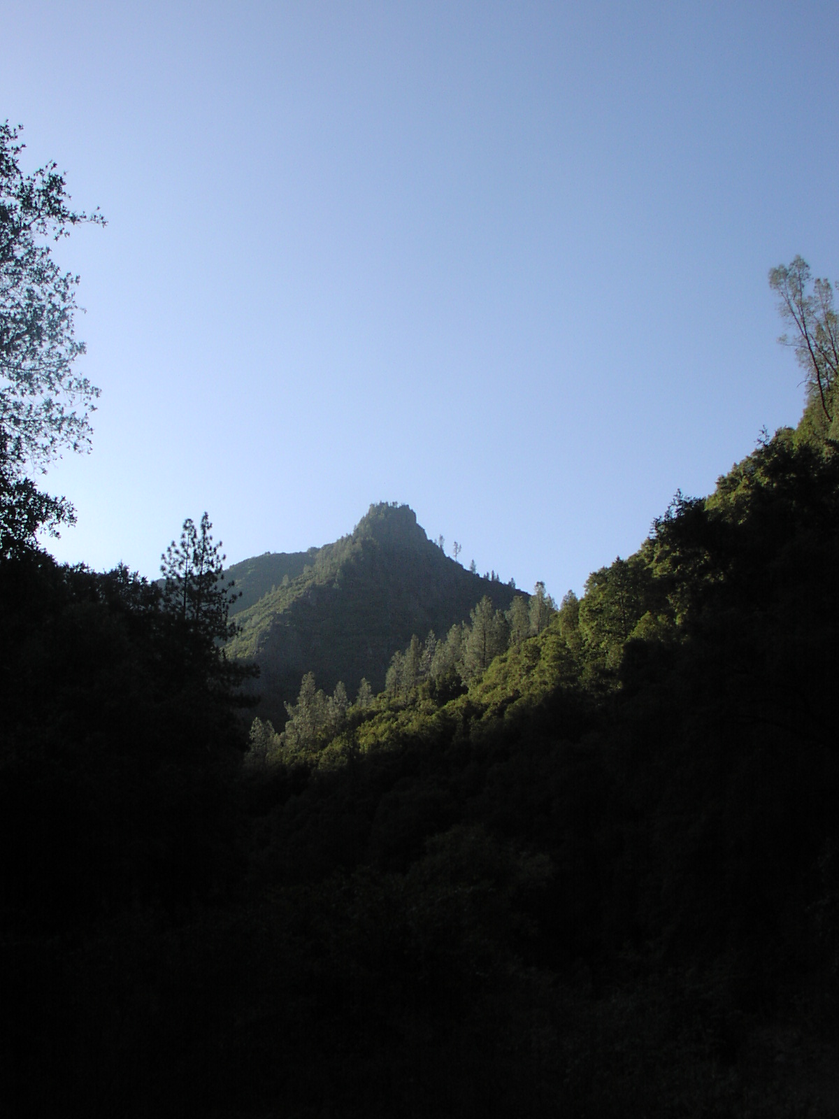
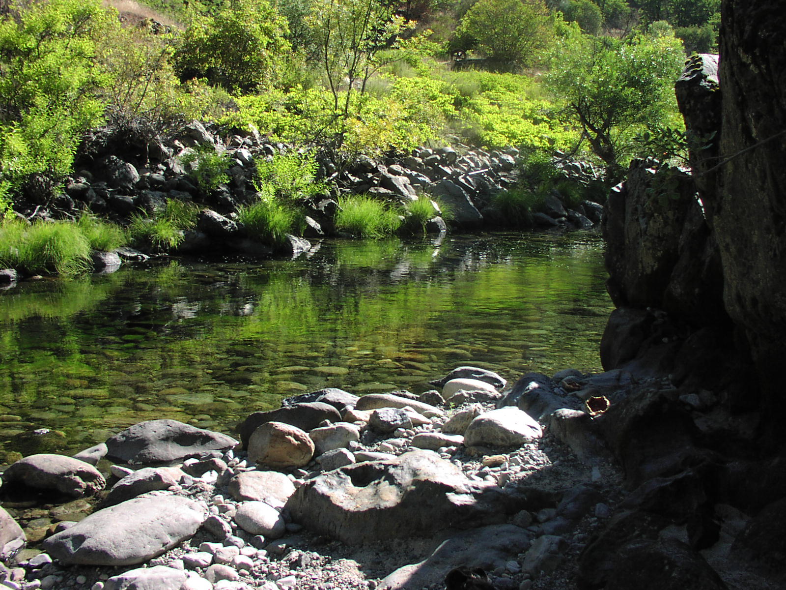
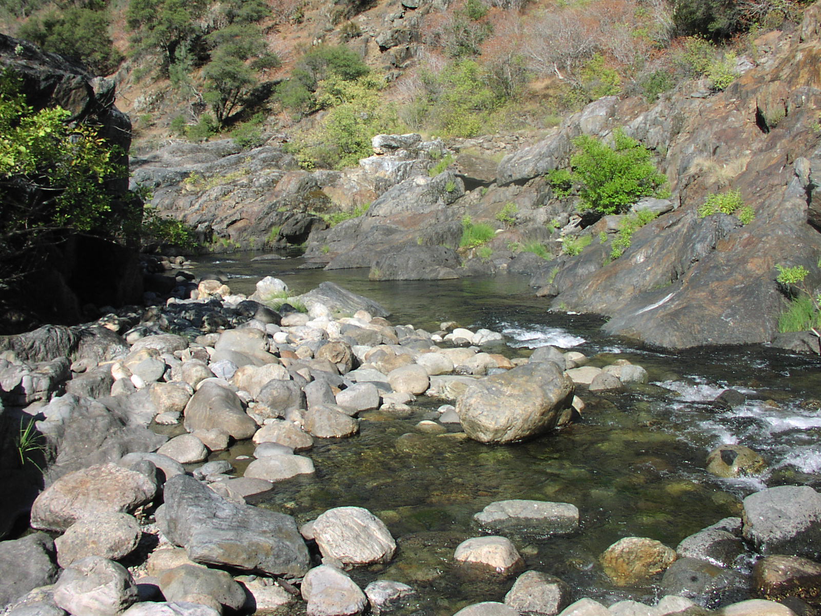
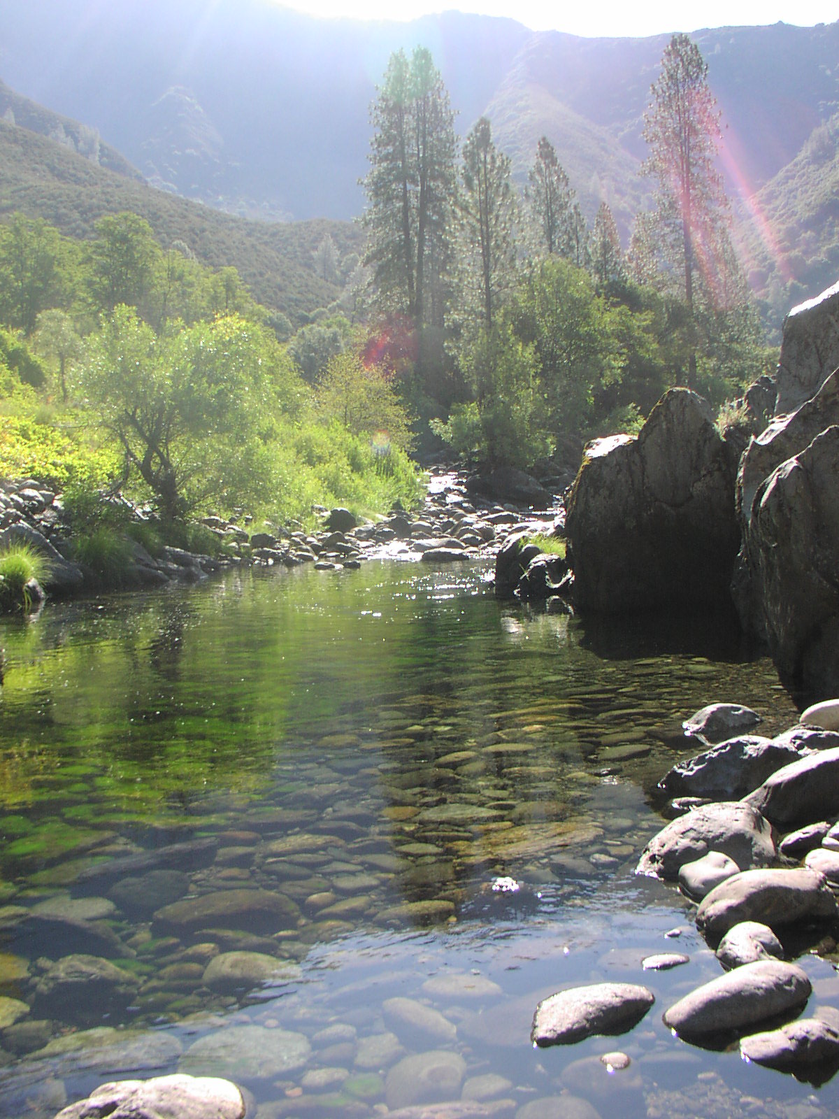
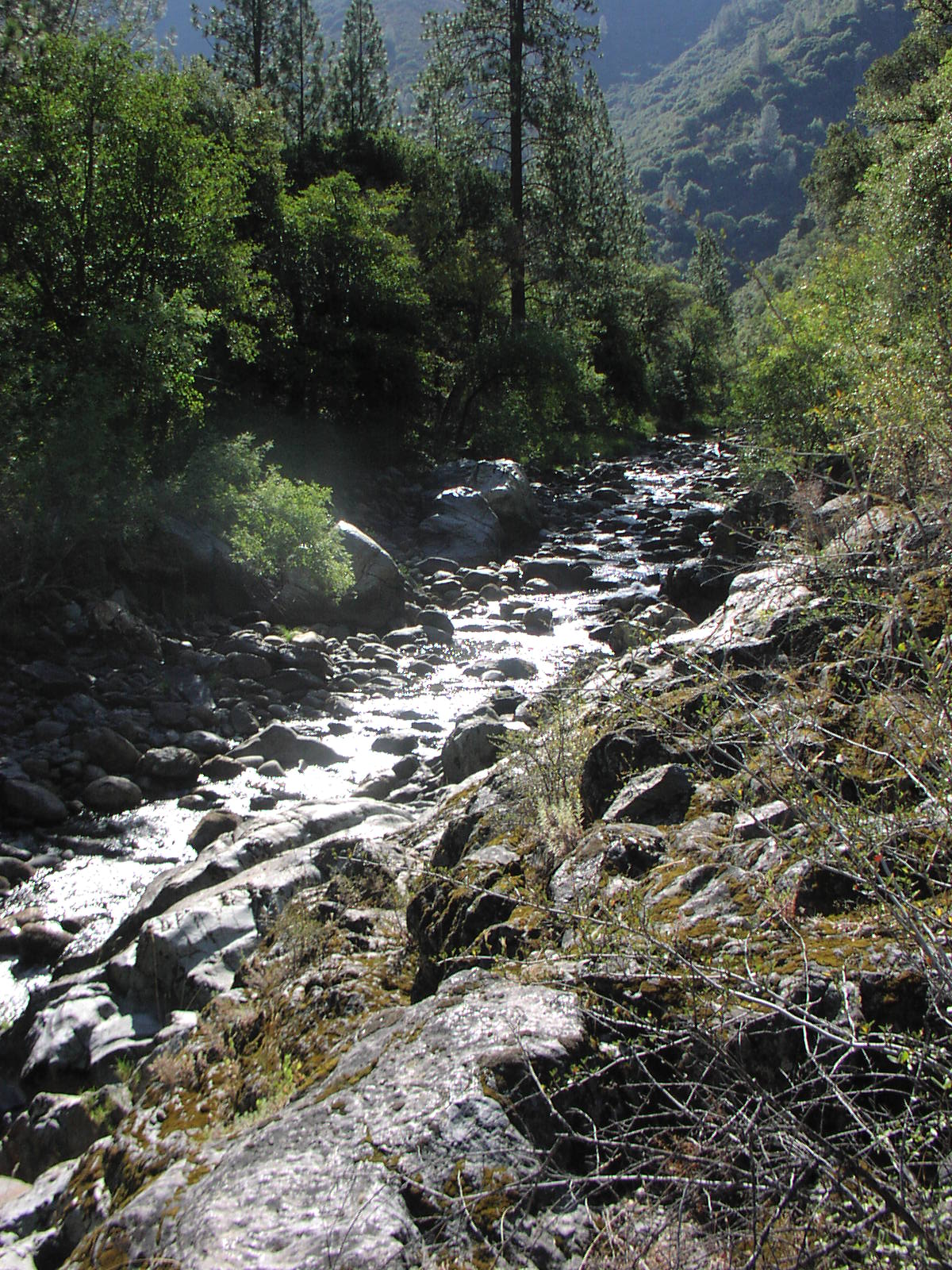
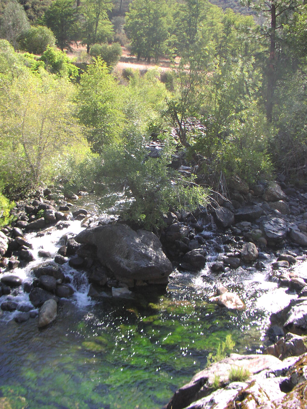
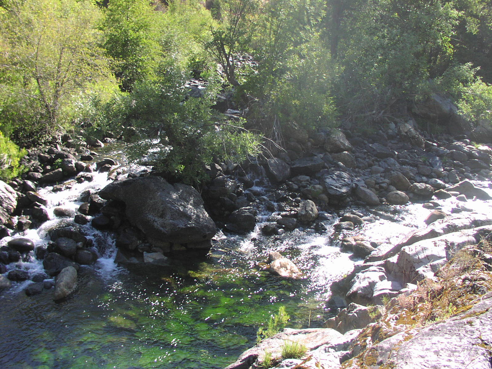
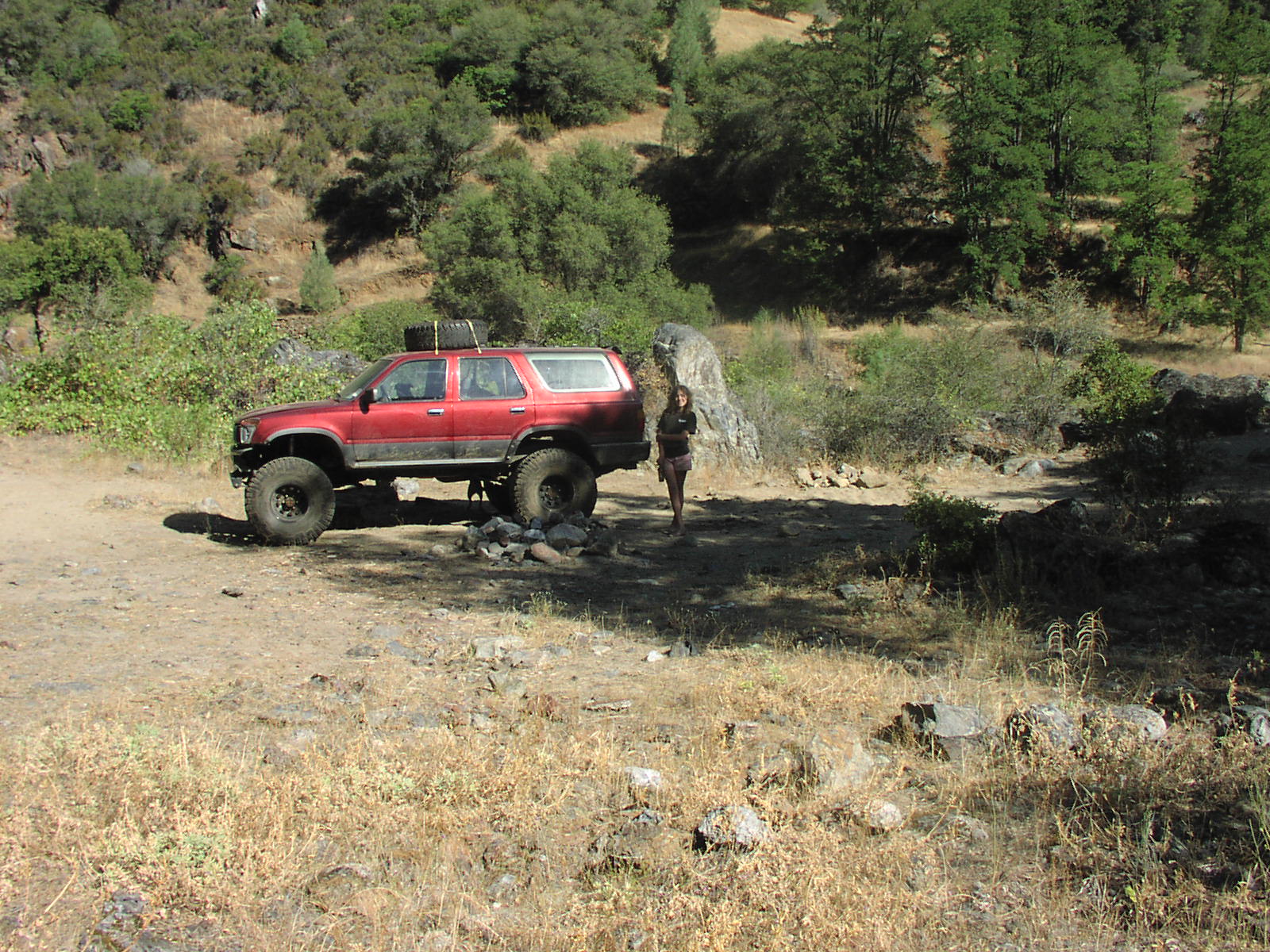
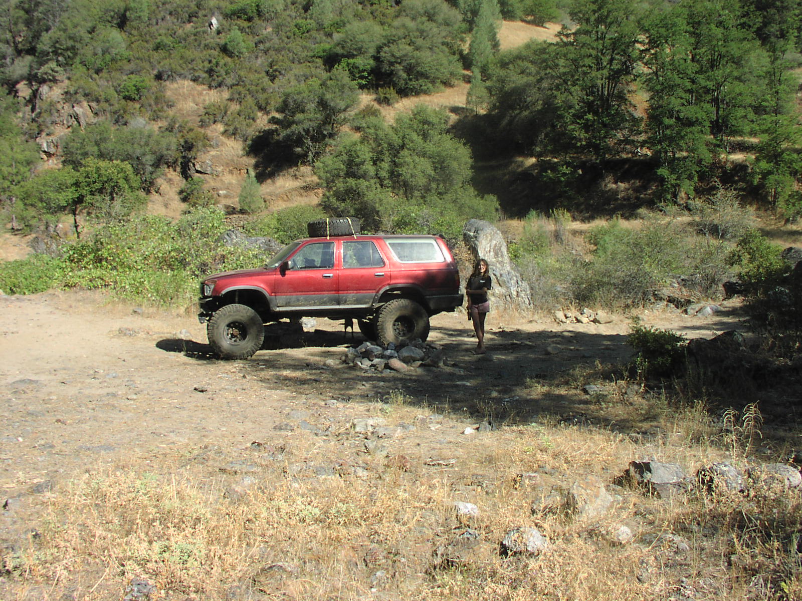
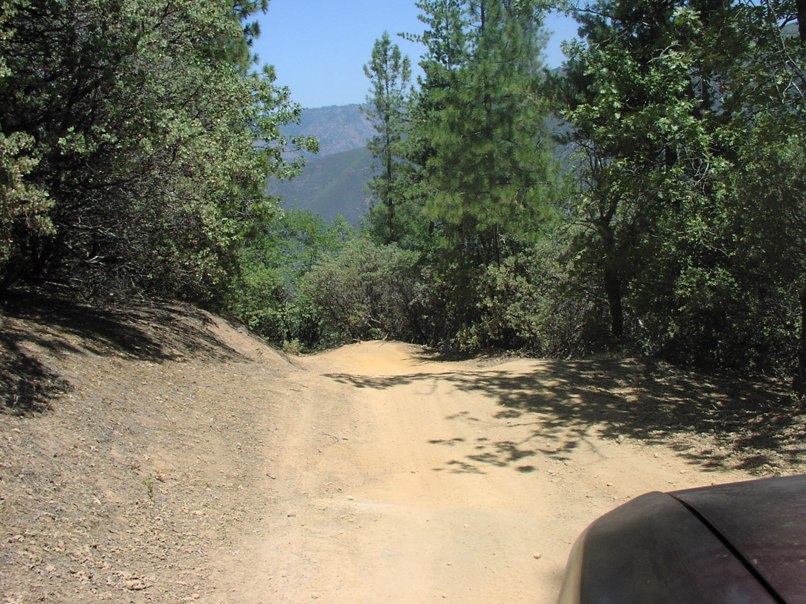
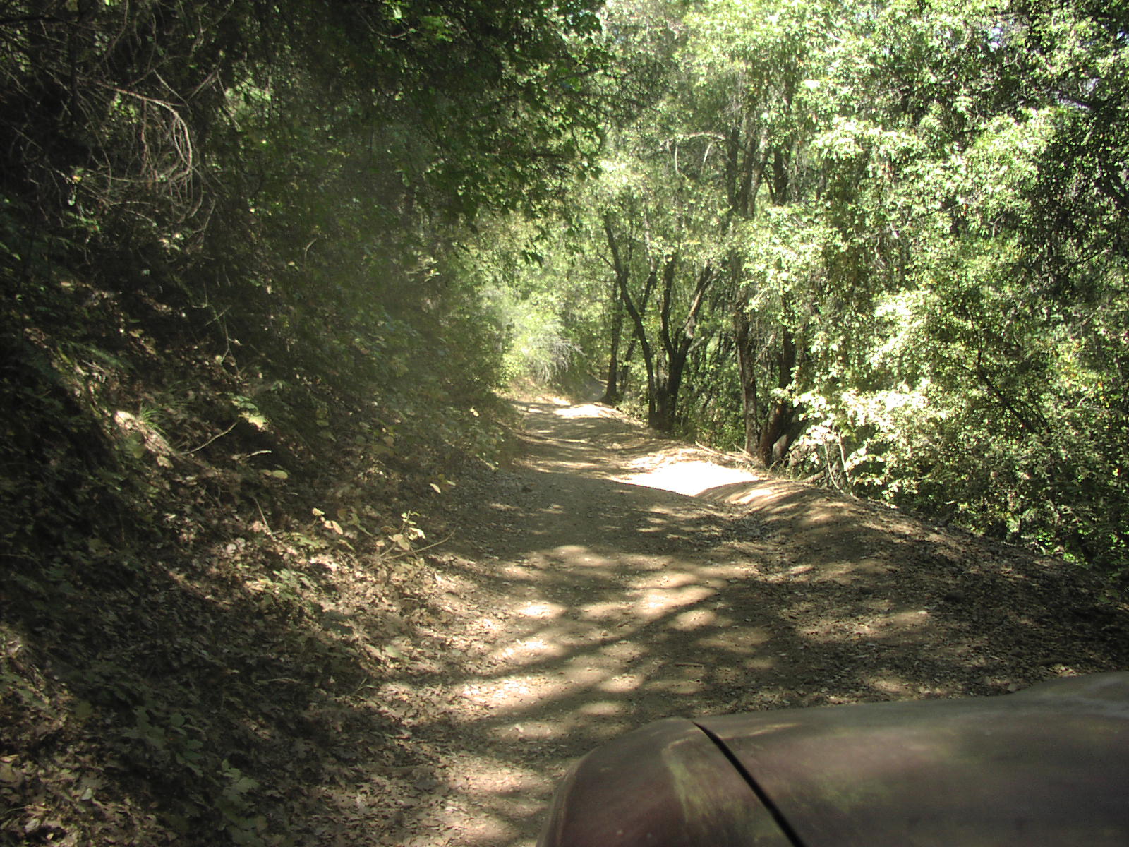
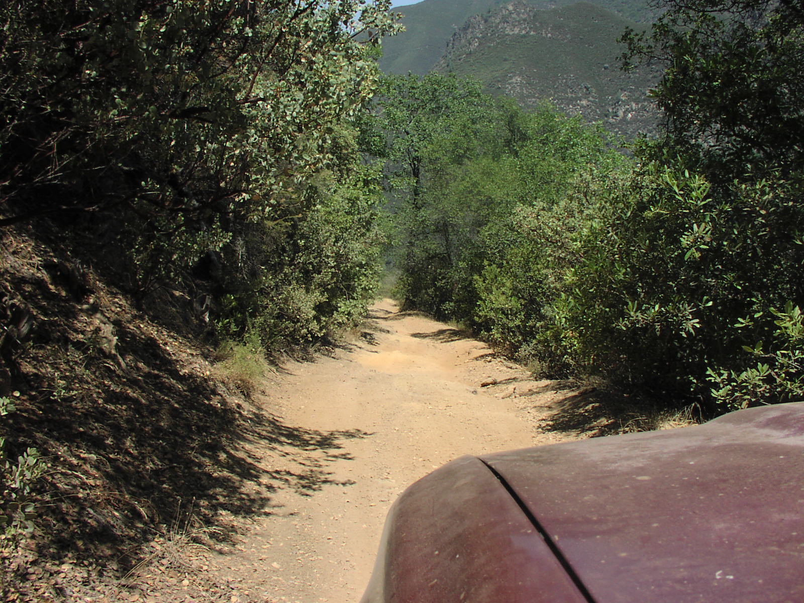
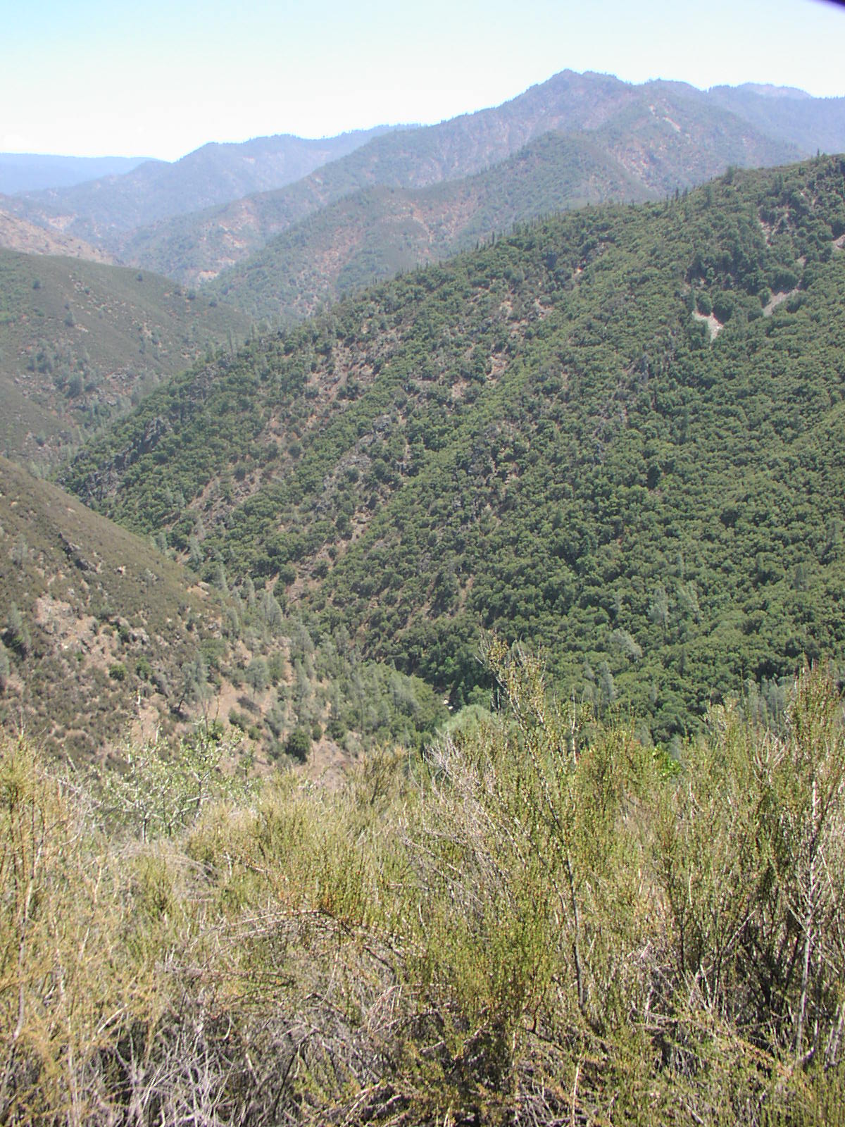
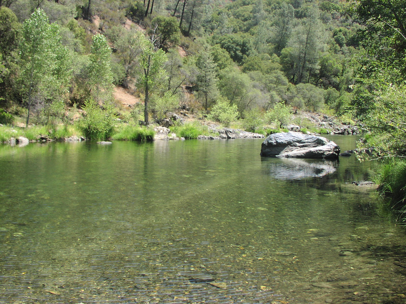
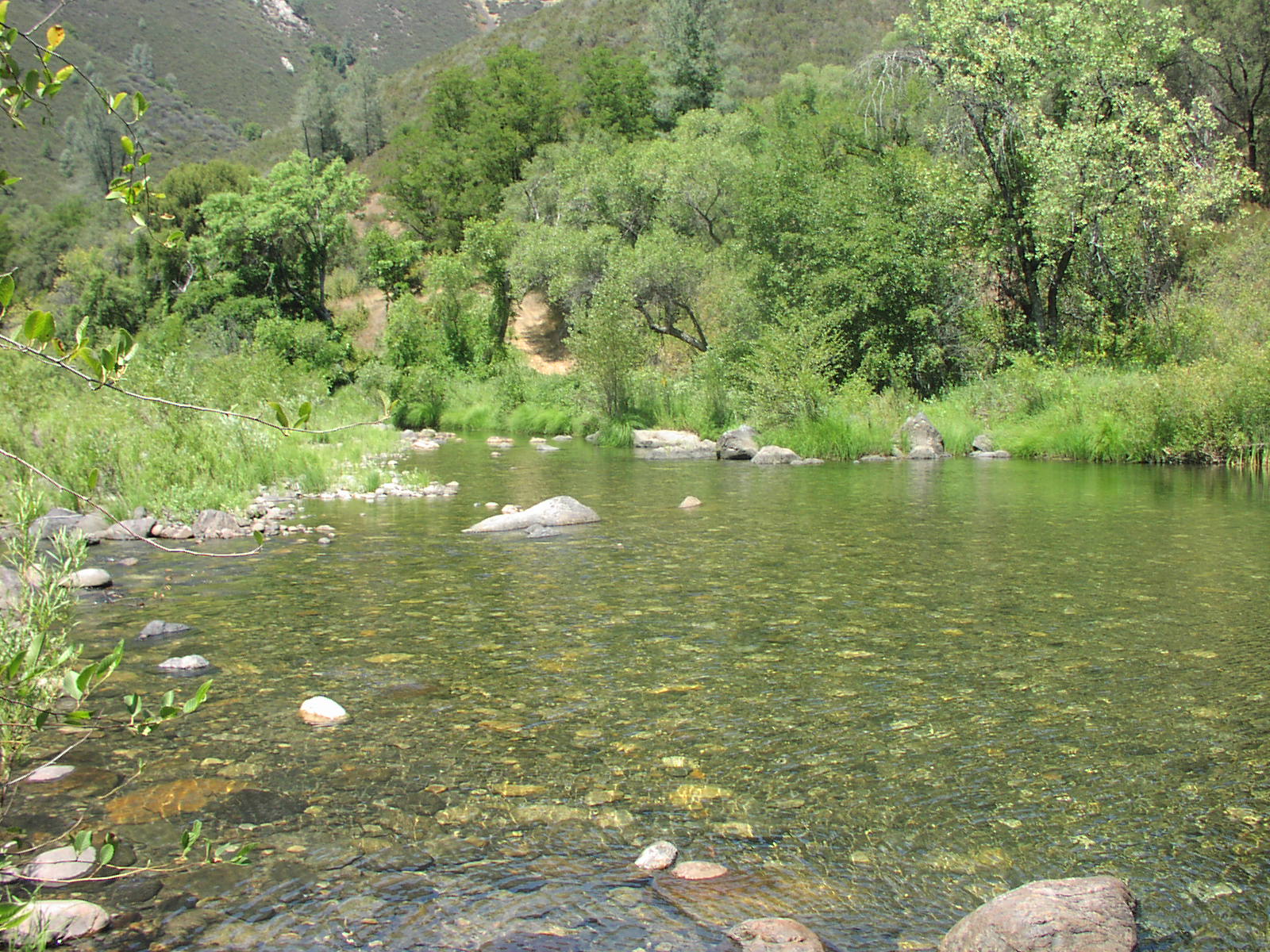
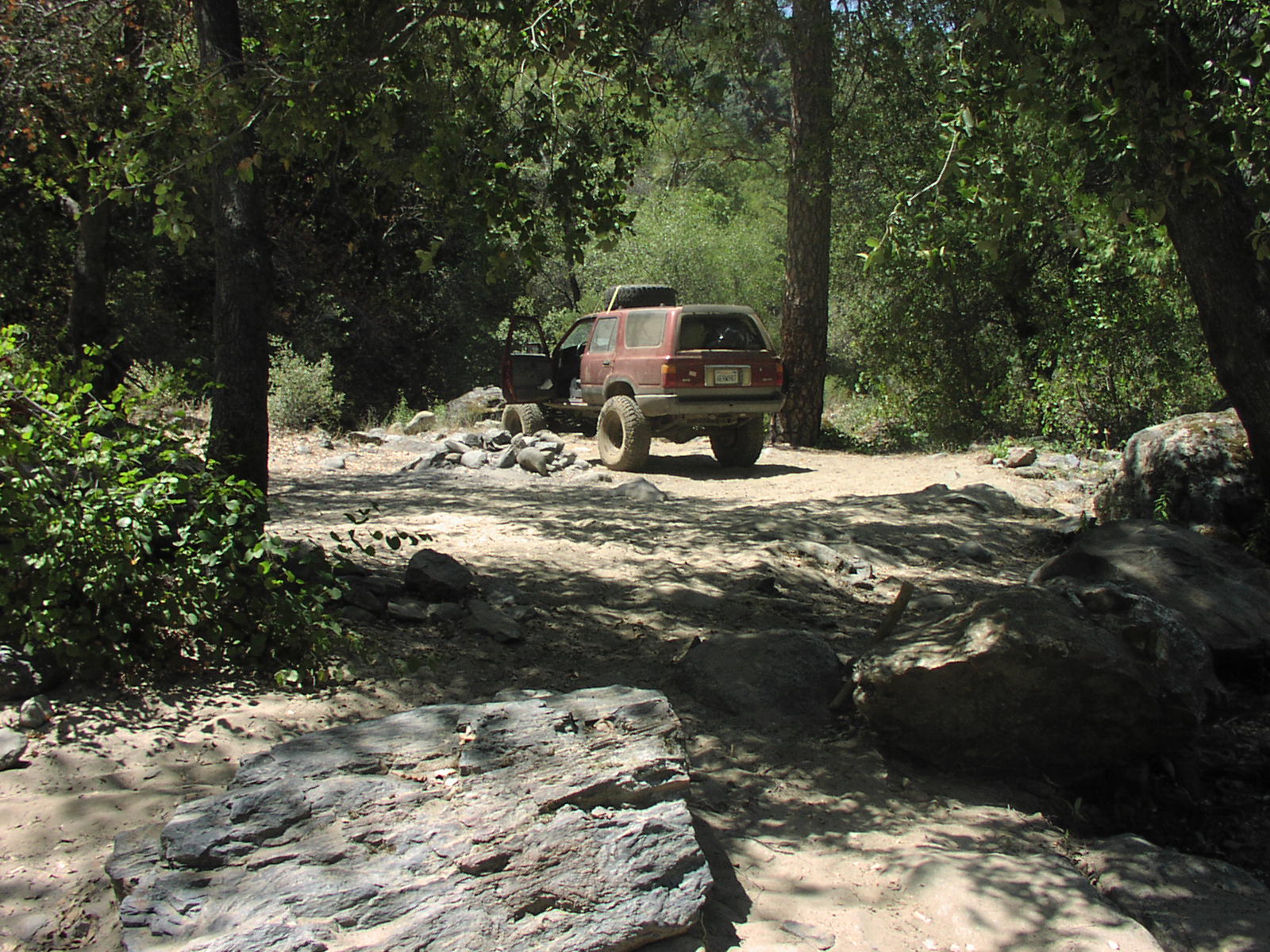
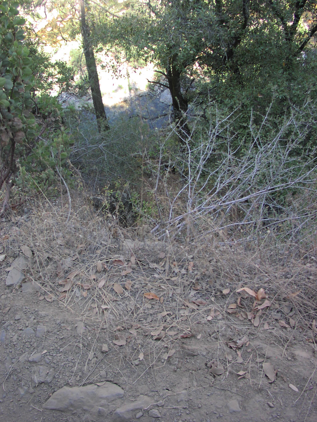
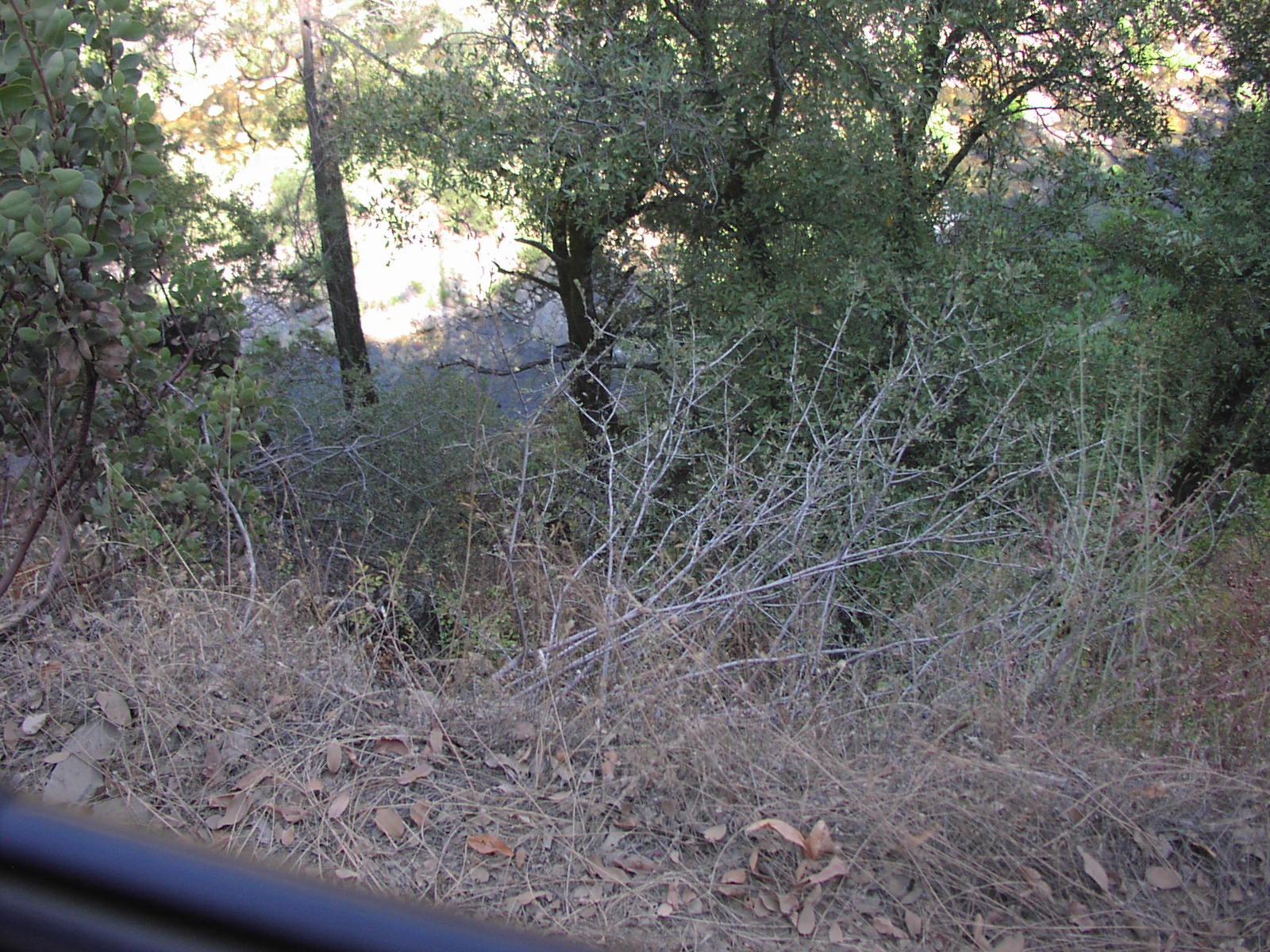
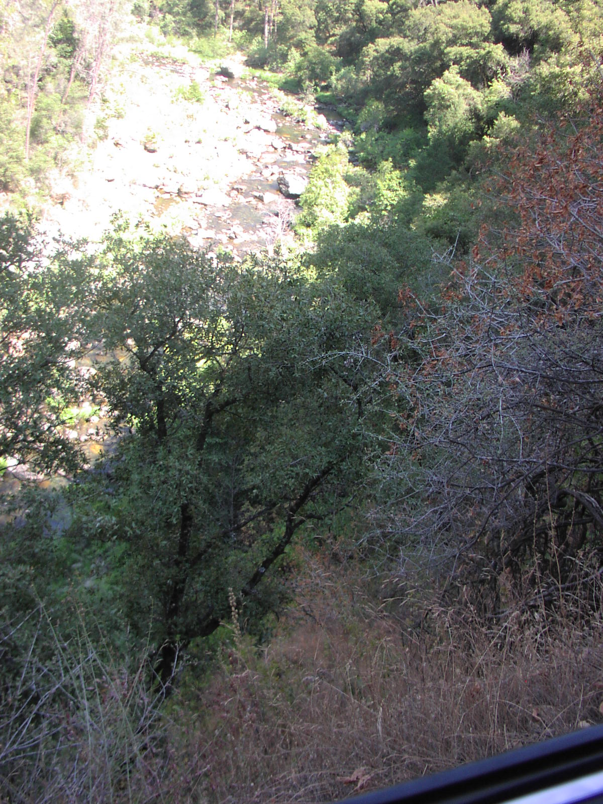
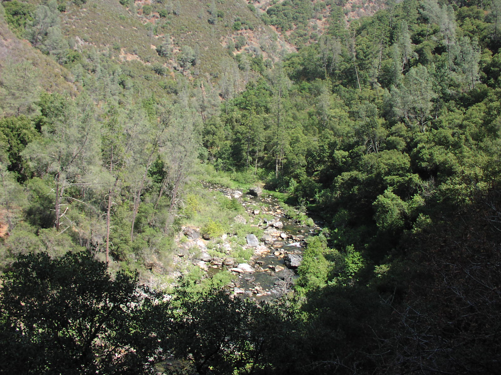
The trail drops down to the South Fork Merced River.
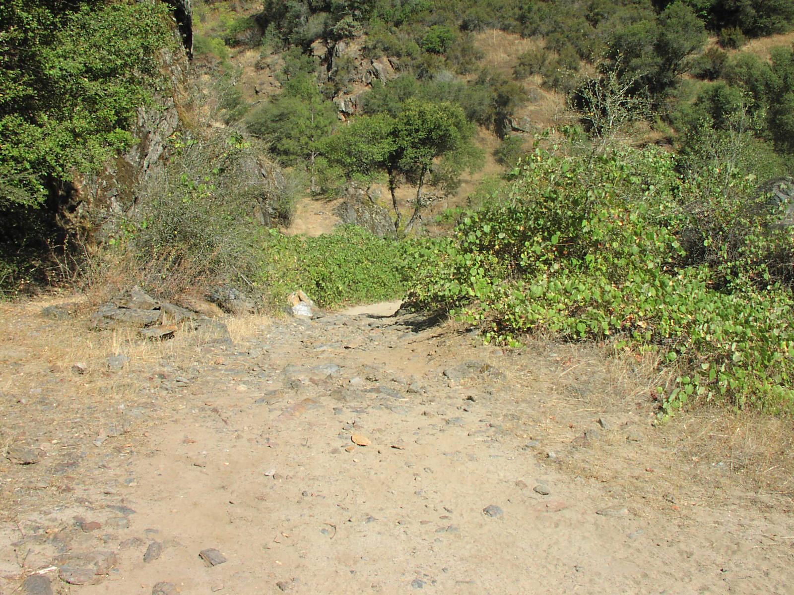
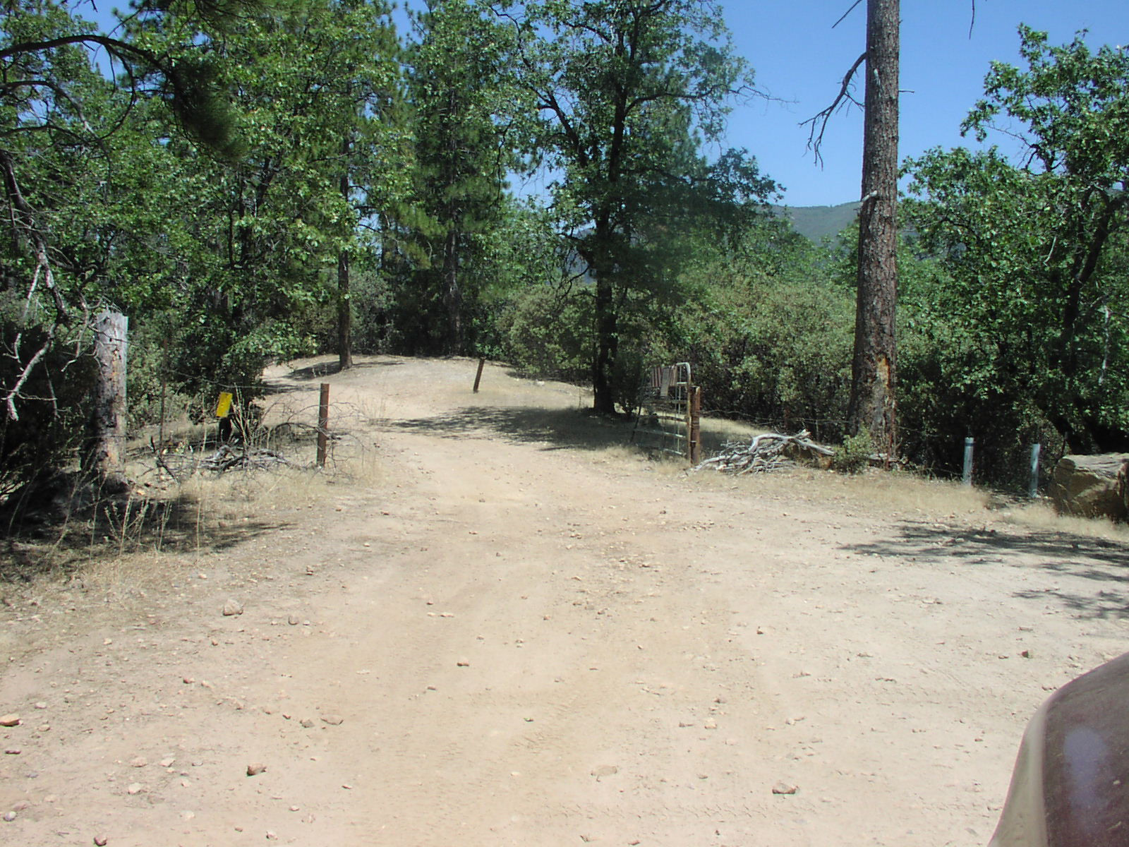
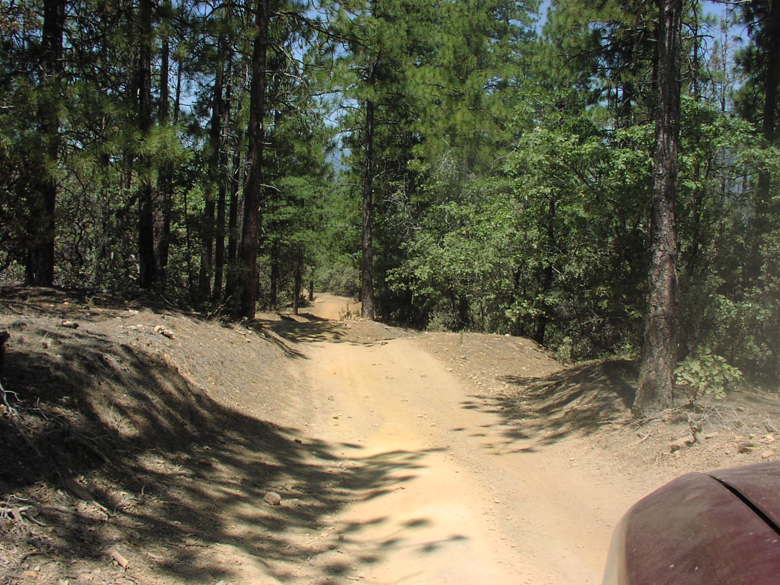
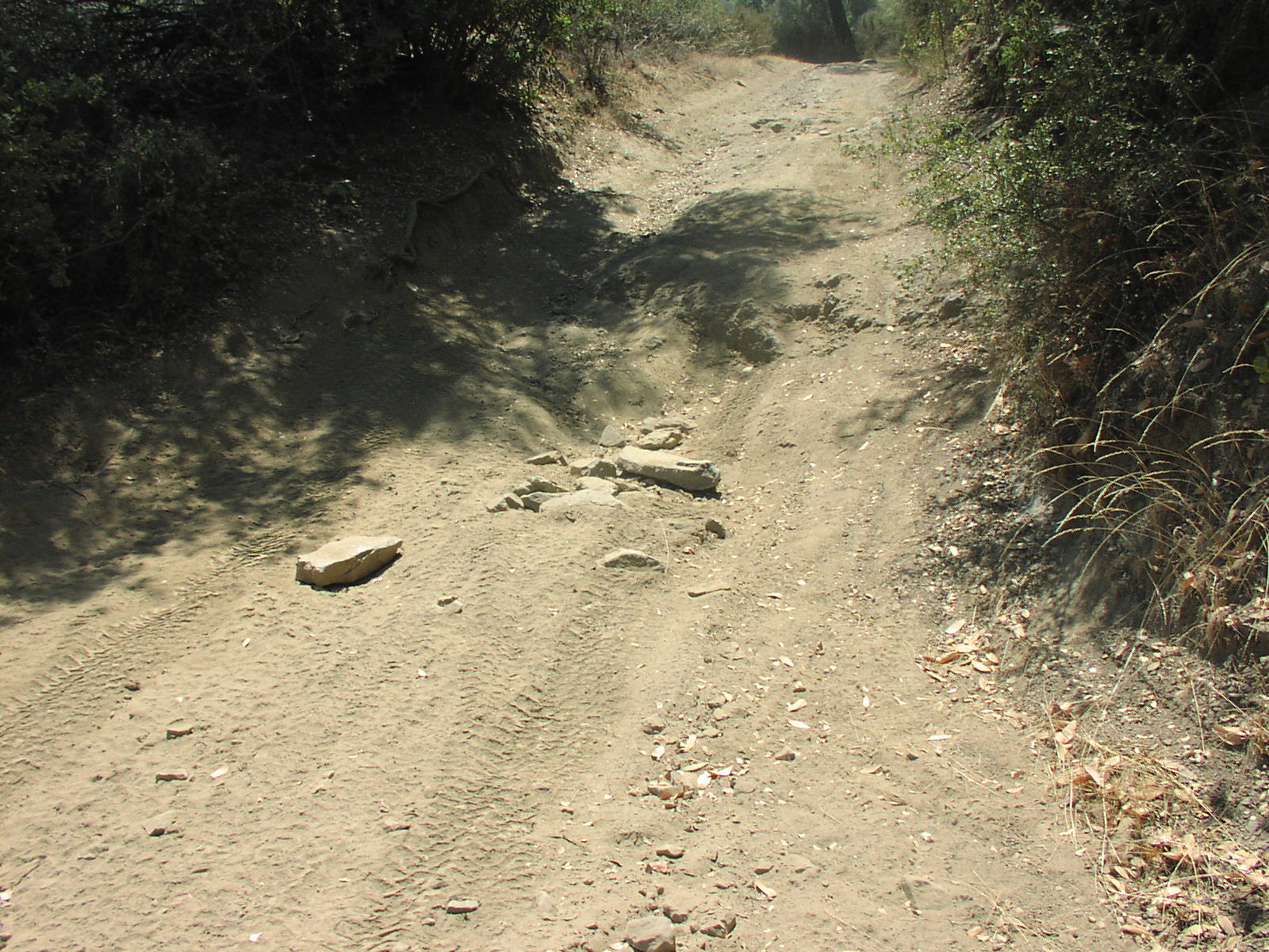
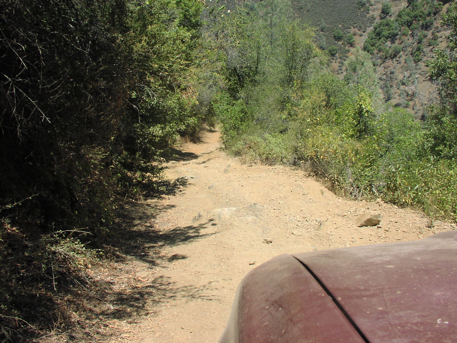
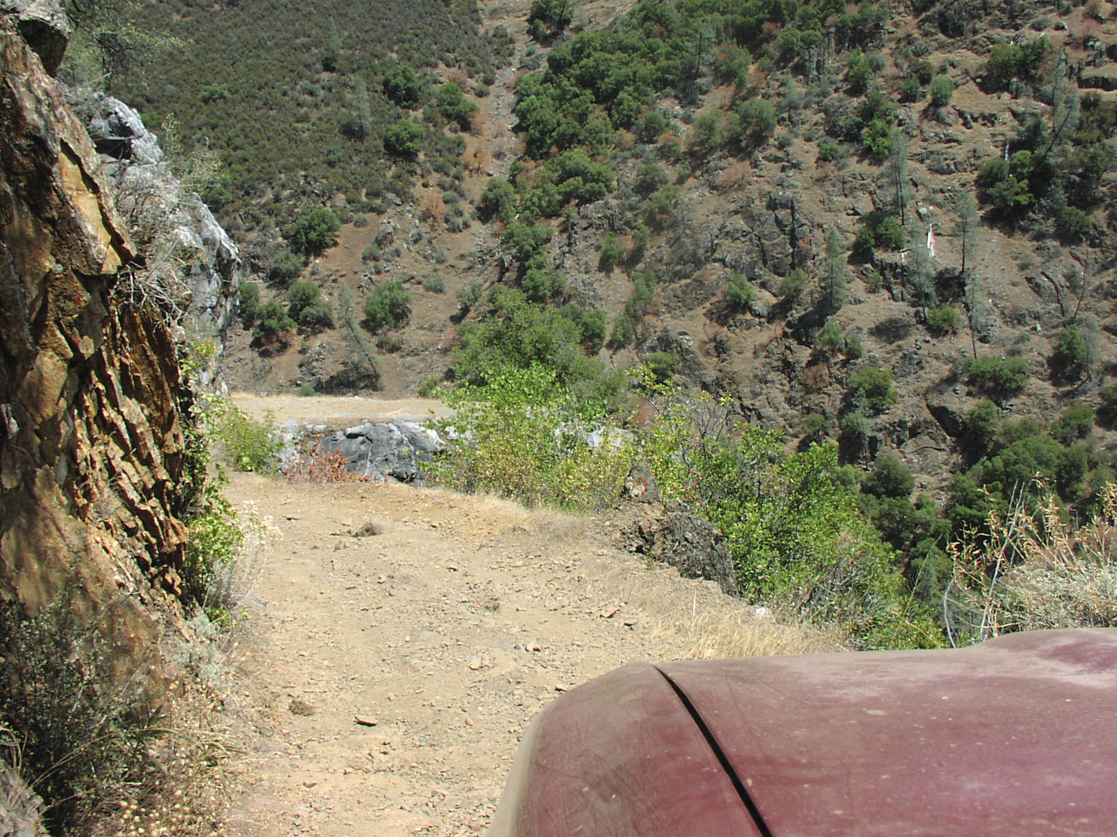
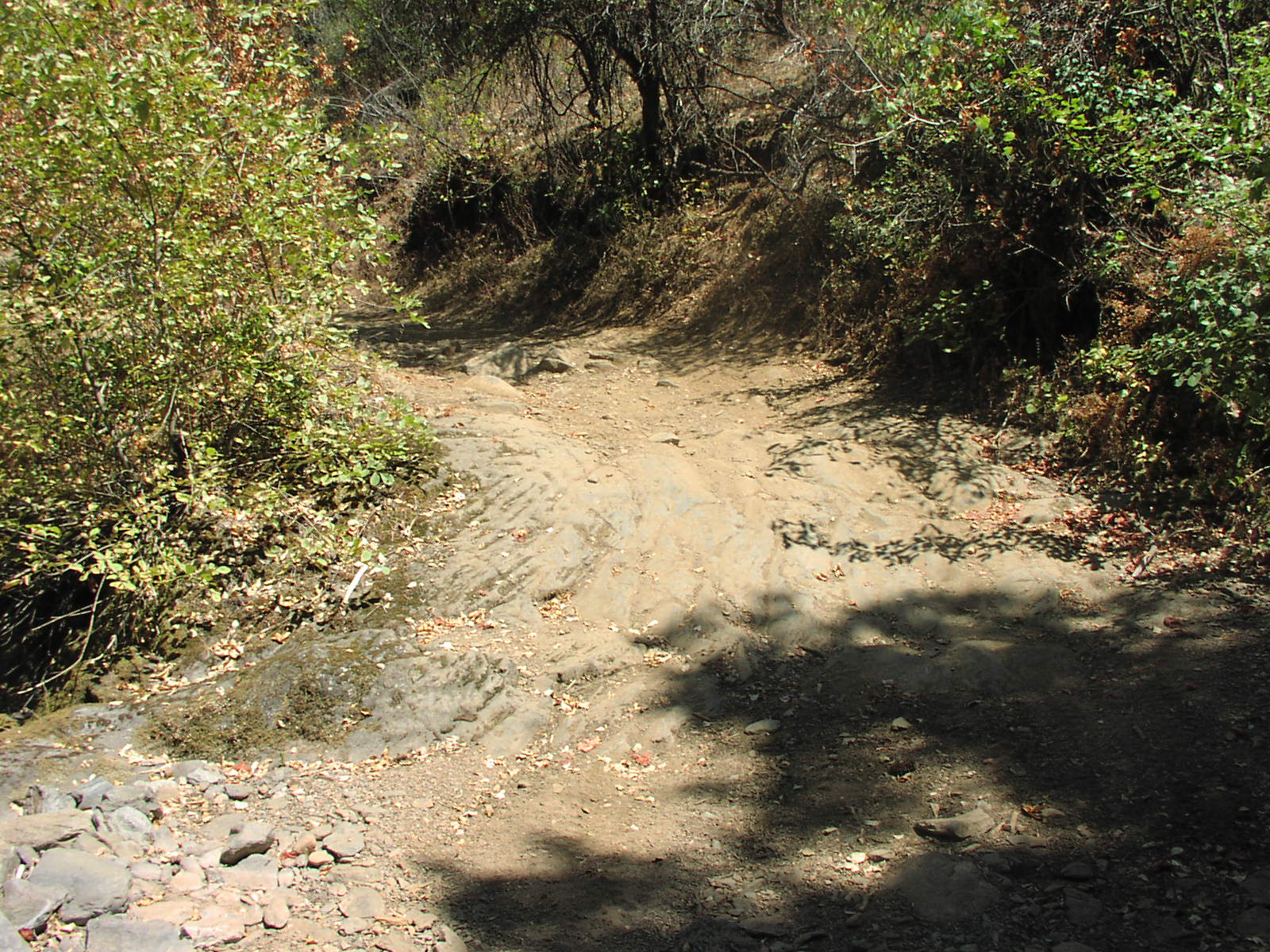
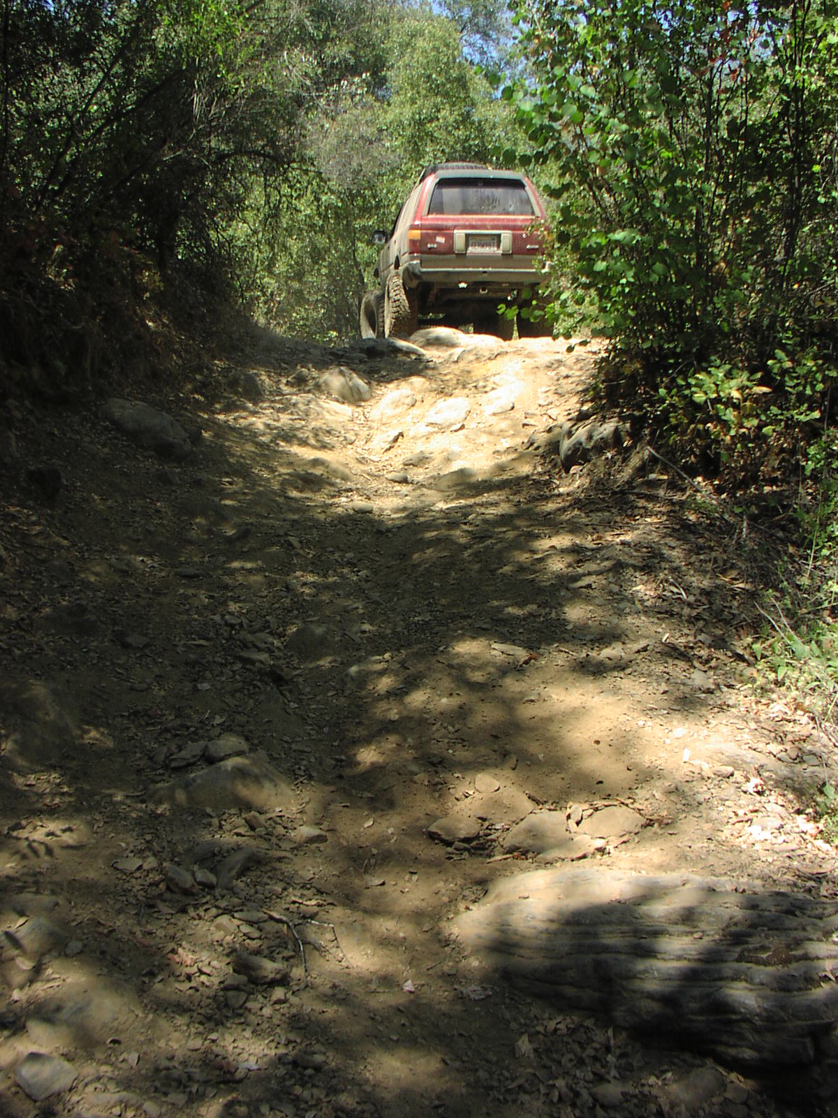
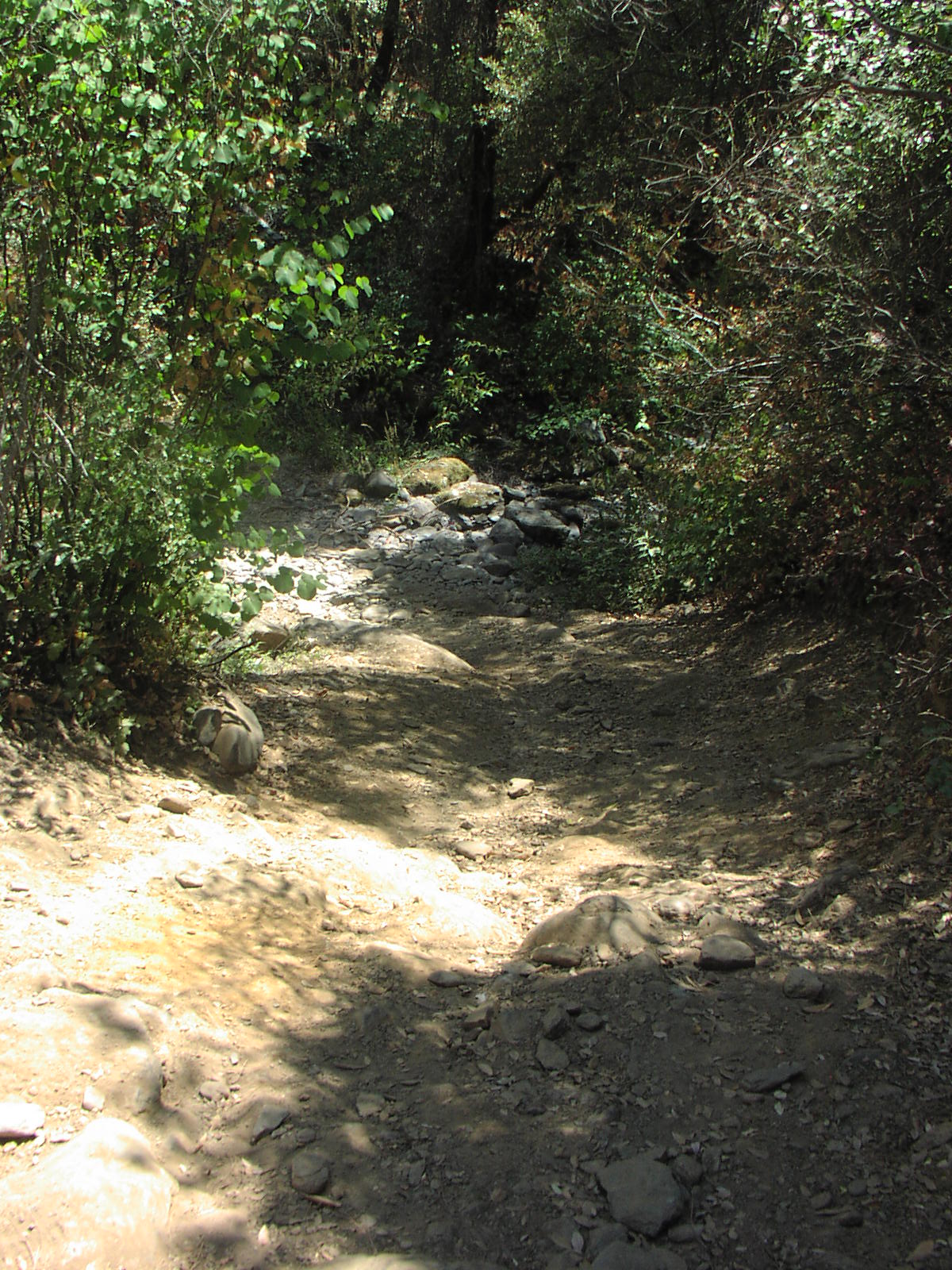
The trail is very steep and has tight switch backs.
4WD is required in order to back up while going downhill and to make it back up to the top.
The river valley is very nice with good fishing and large deep holes to swim in and is ideal for snorkeling.
The river bottom can be danger due to steep cliffs and slippery terrain, children should be watched closely.
I have also found ticks, poison oak and rattle snakes in the area. The Google map is incorrect Hite Cove 4WD Road does not go all the way threw to HWY 140 nor does it cross the river. Hite Cove 4WD road dead ends at the river. |
| Location | Sierra National Forest |
| Directions | Google Maps from Fresno. The road continues NE and ends across from Hites Mine Road which is closed. |
| Fishing | Small mouth bass |
| Camping | Down by the river |
| Elevation | 1600 - 3800 |
| Latitude | 37° 38' 25" N |
| Longitude | 119° 50' 57" W |
| Weather | National Weather Service |
| Map Index | B-1 (Sierra National Forest) |
| Maps |
Small Map of Area Sierra National Forest Map (9MB) |
| Links |
USDA Forest Service - Sierra National Forest |
View Larger Map
|