| Author | whokrz |
| Year | 2009 |
| Trail Open | June - October (Depending on snow level) |
| Difficulty | Moderate [5] |
| Description |
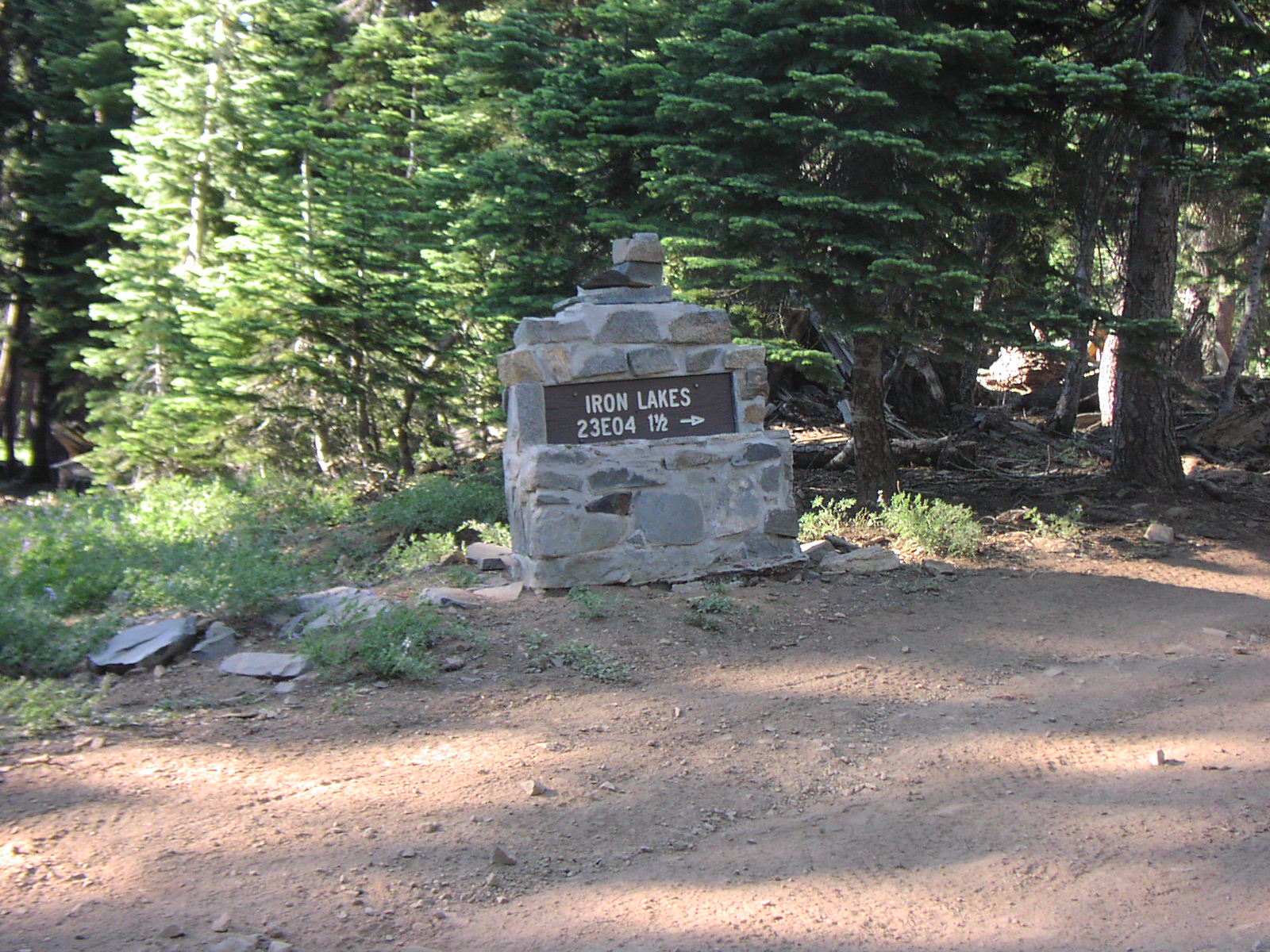
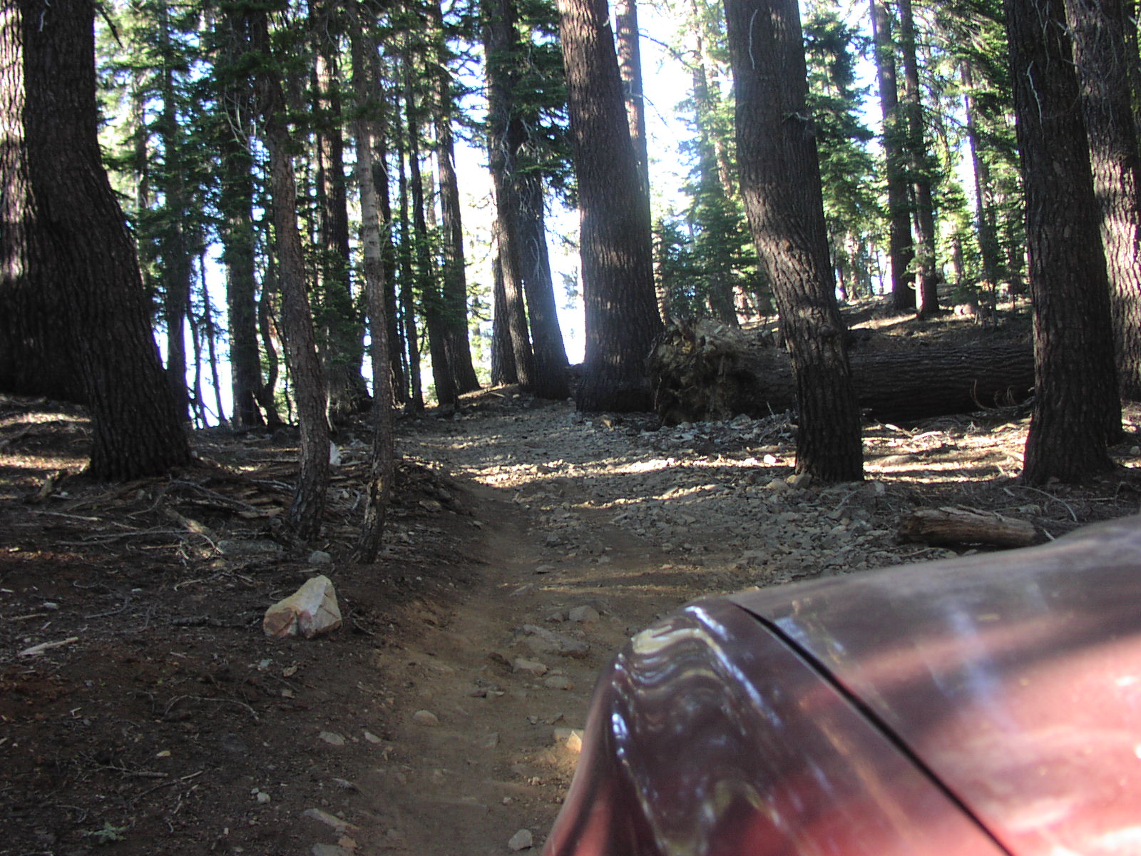
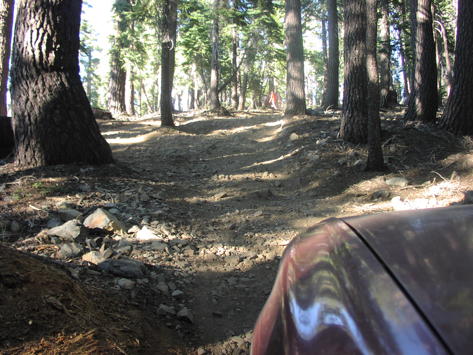
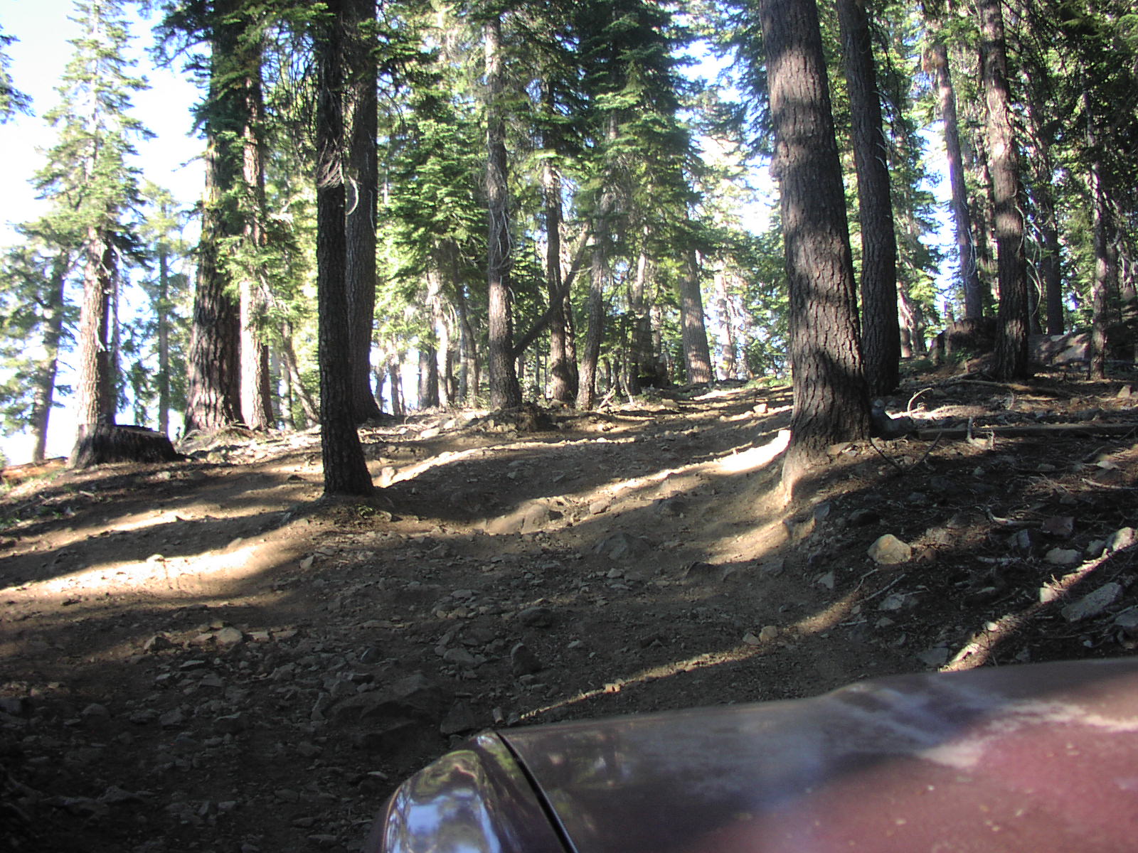
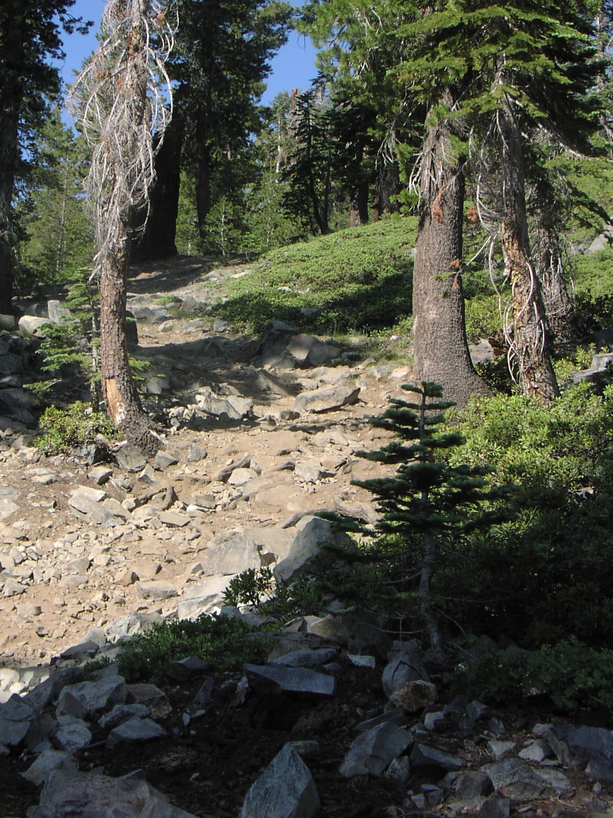
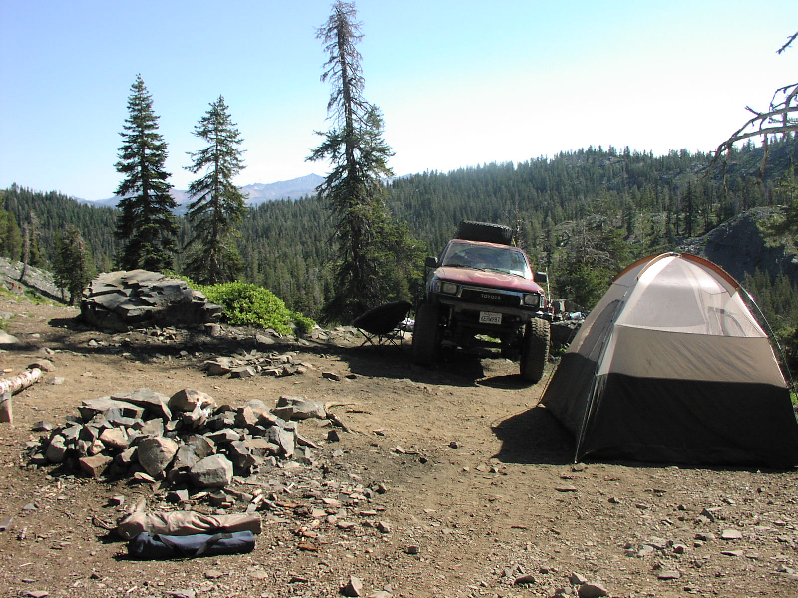
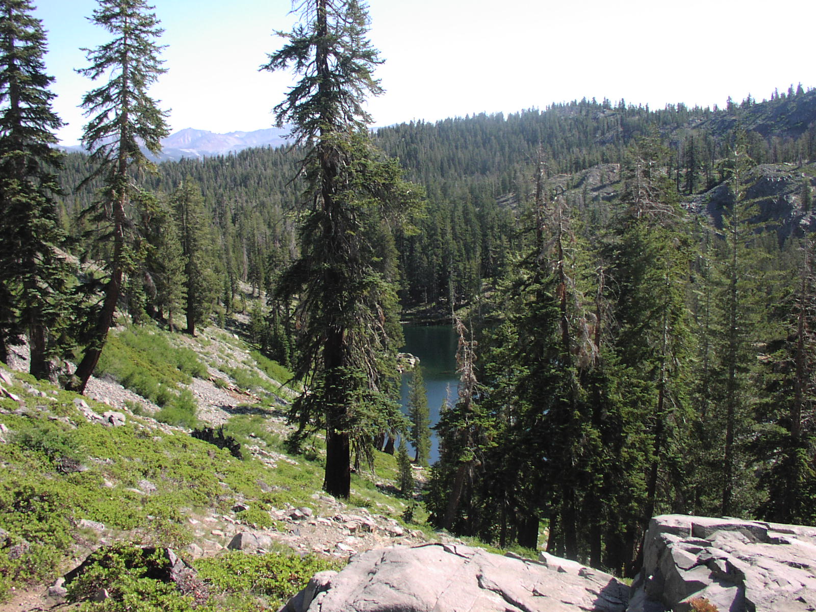
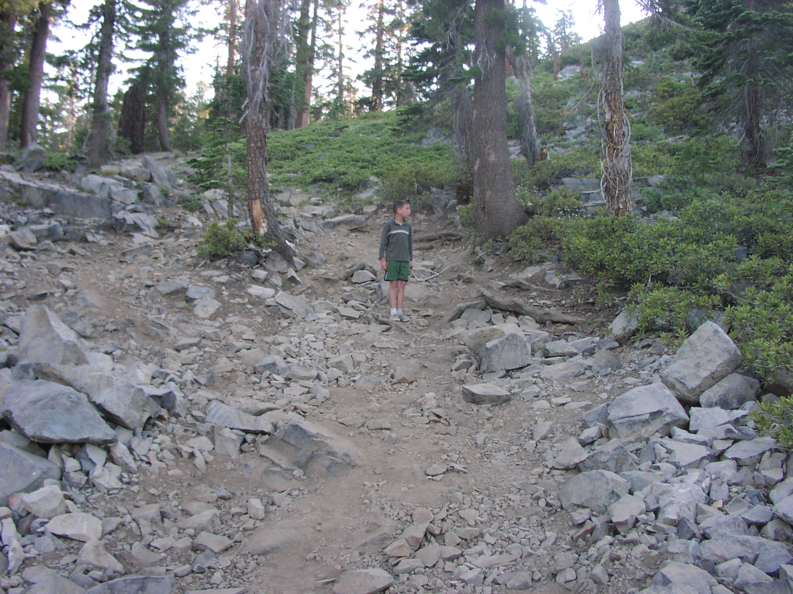
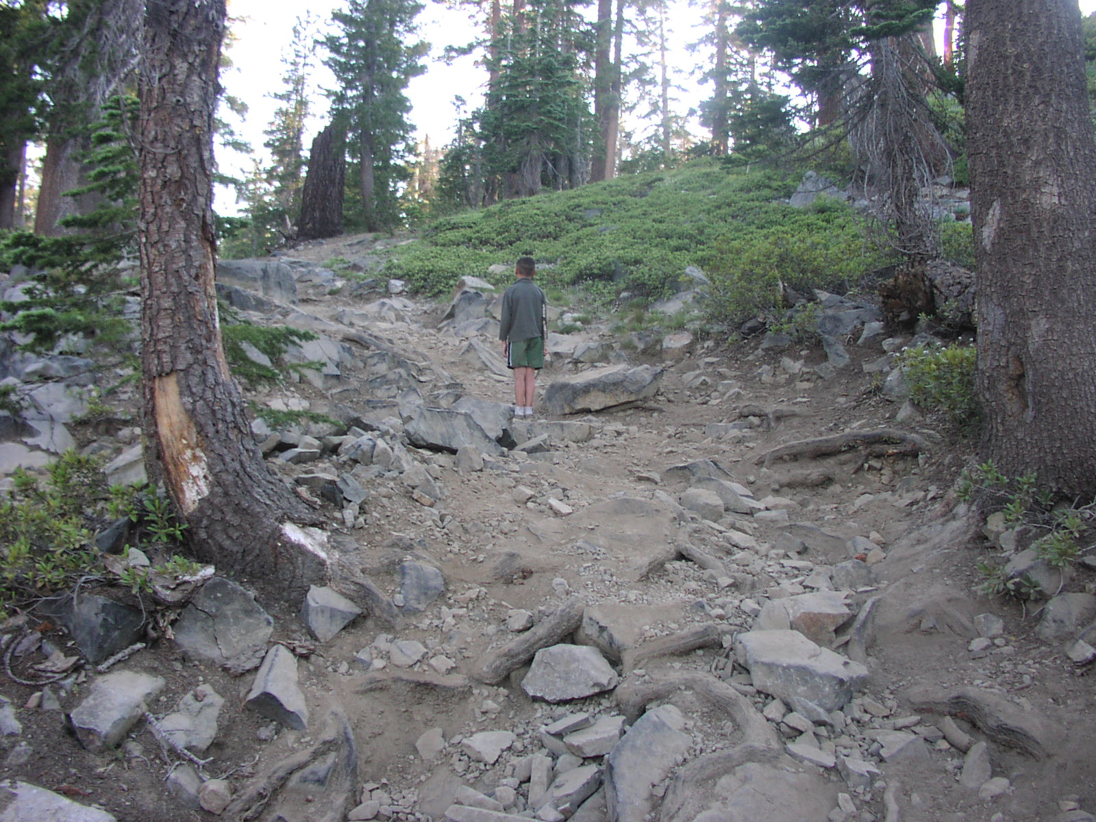
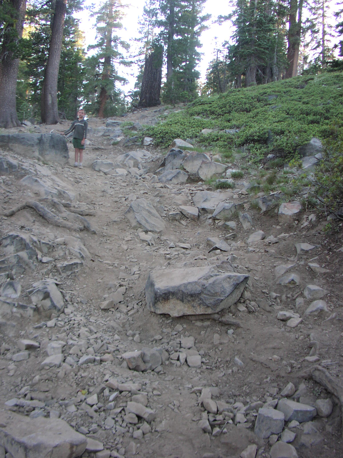
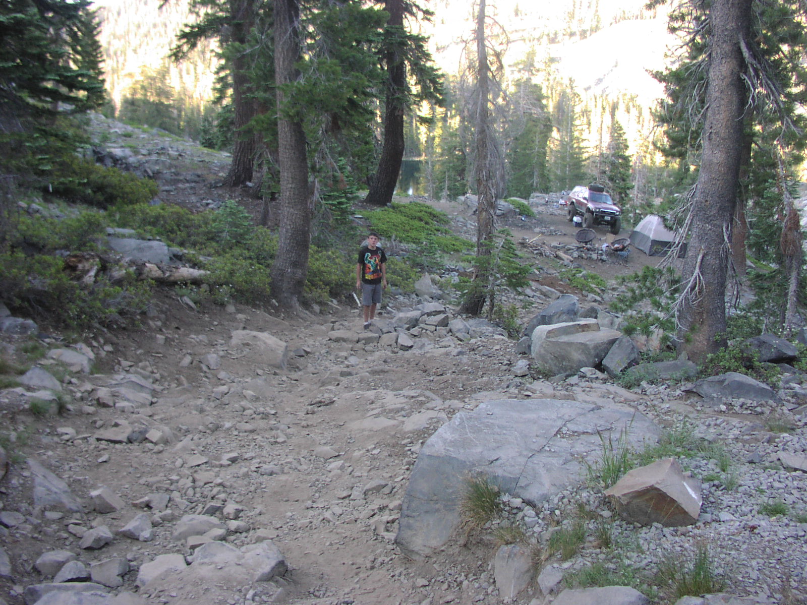
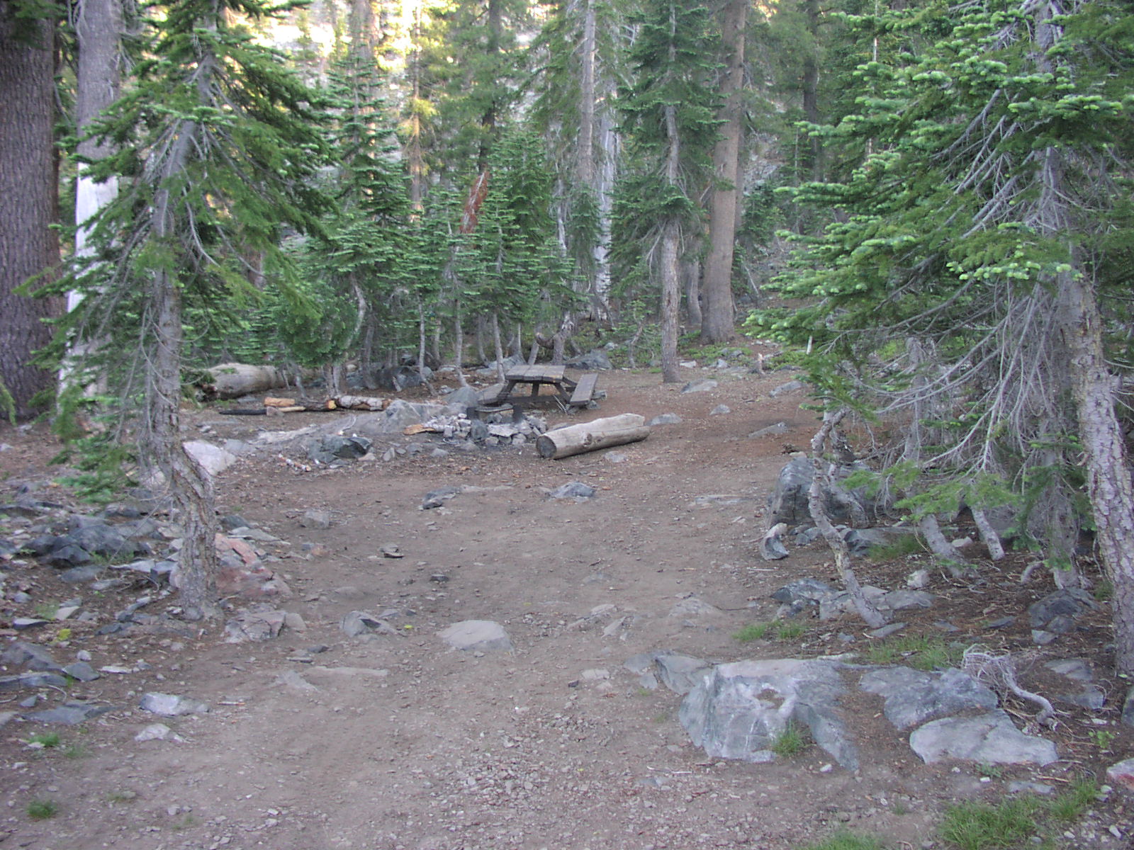
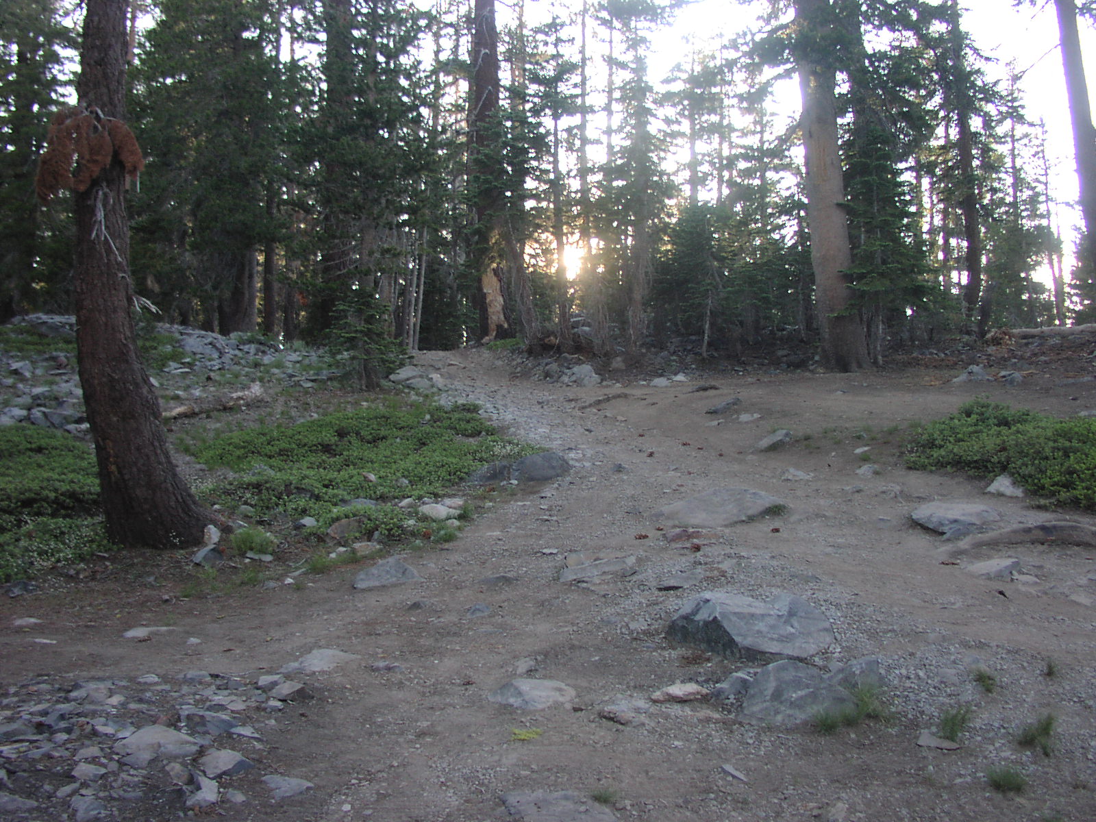
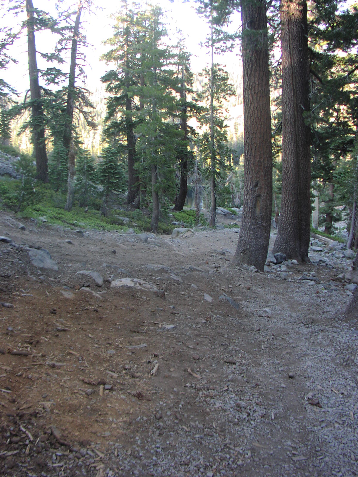
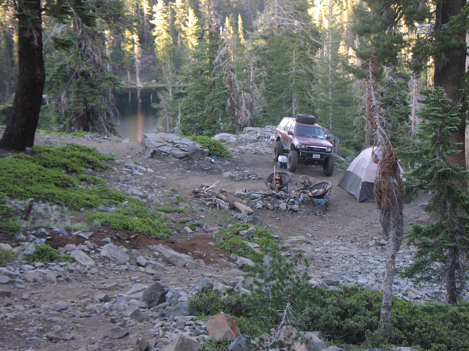
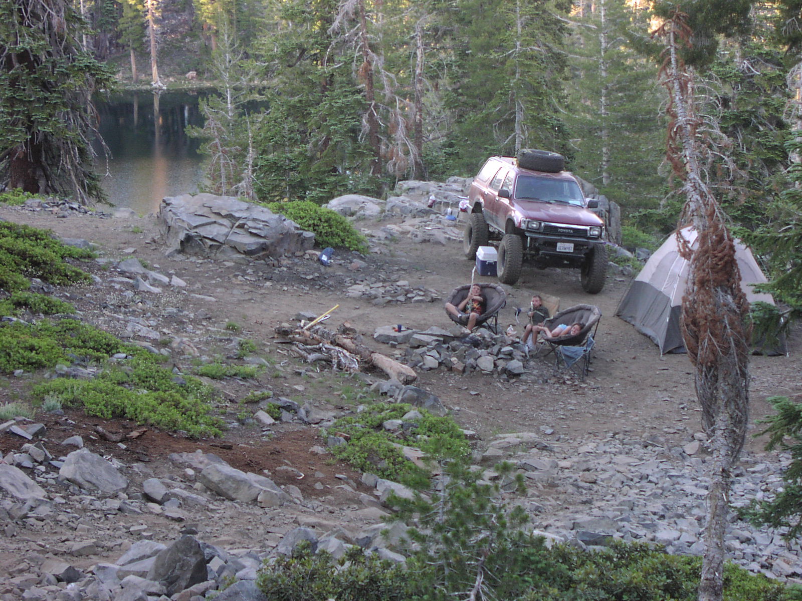
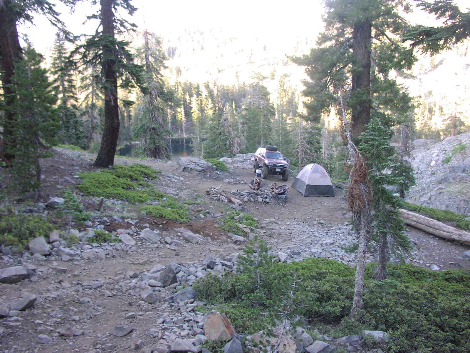
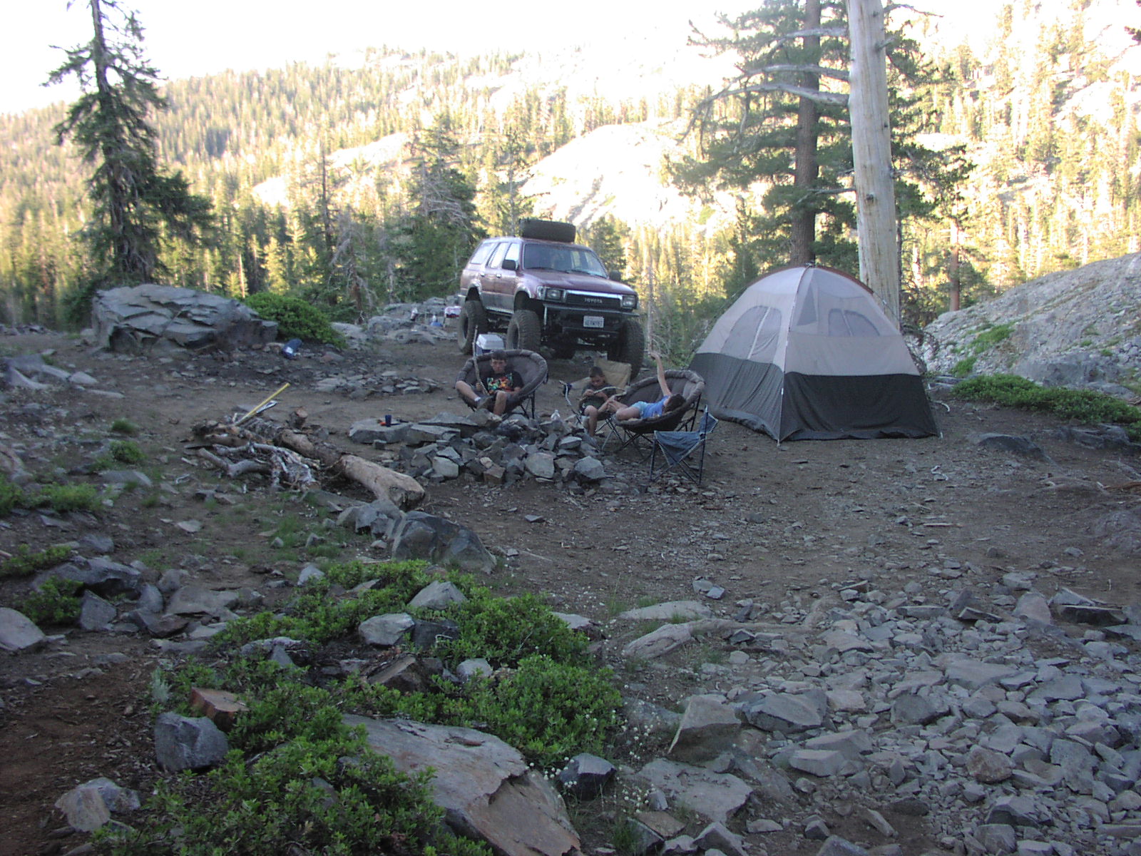
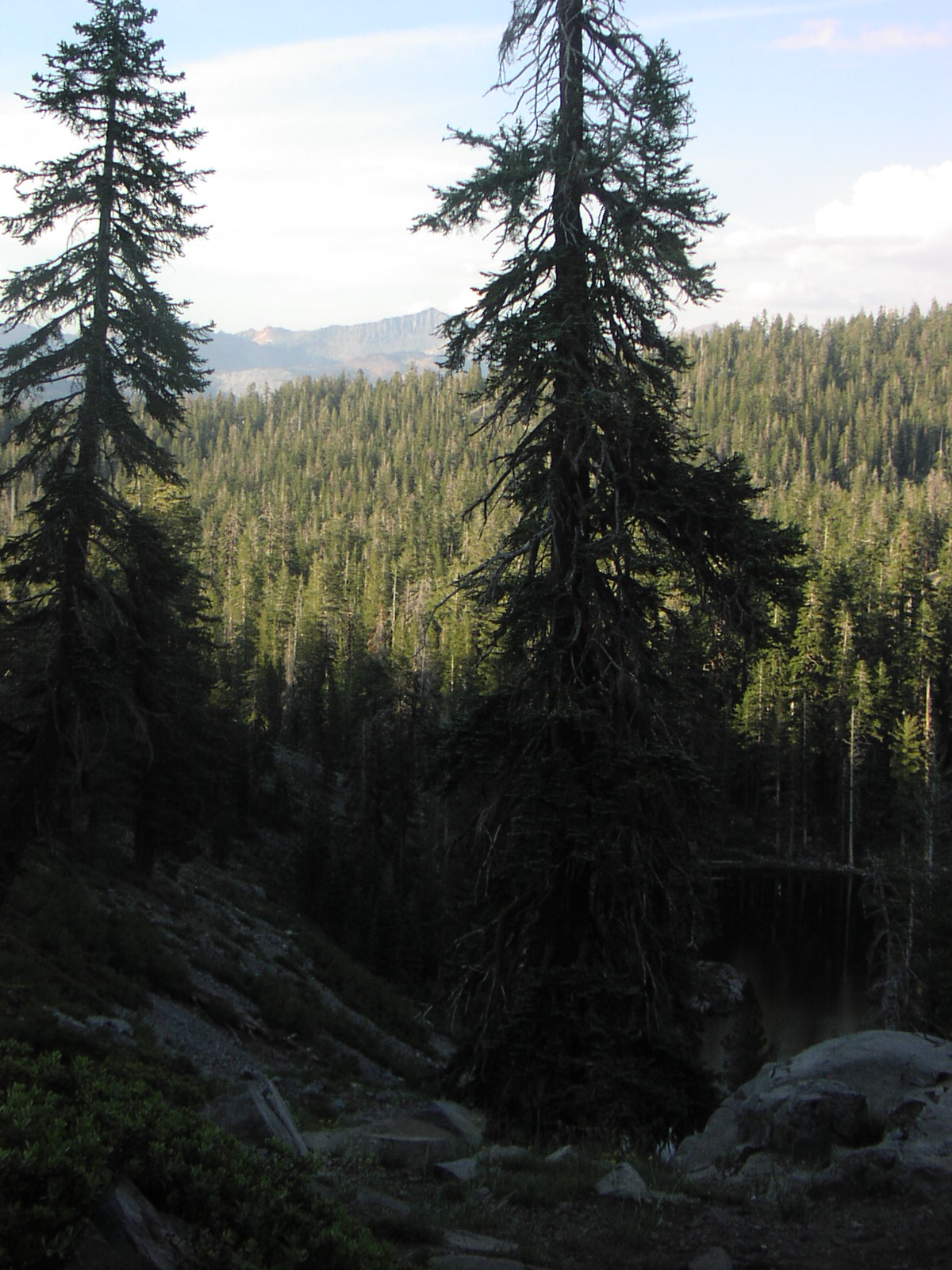
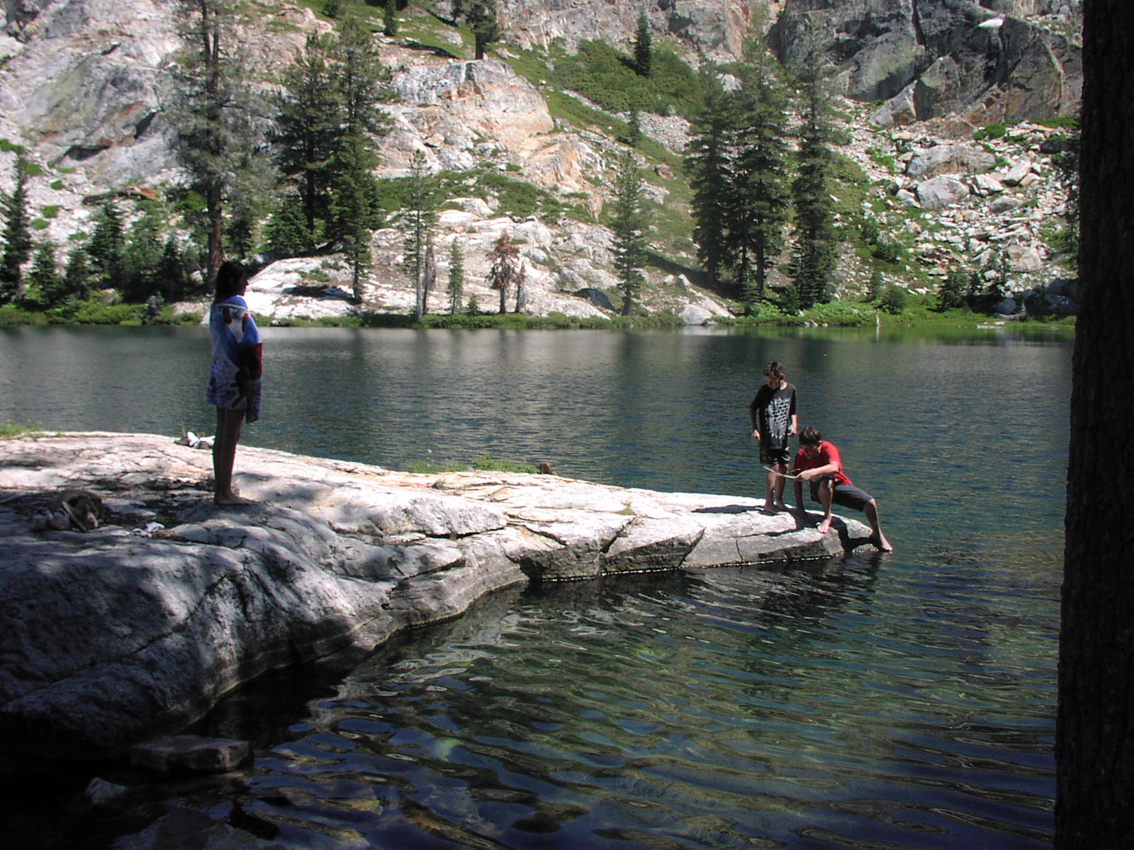
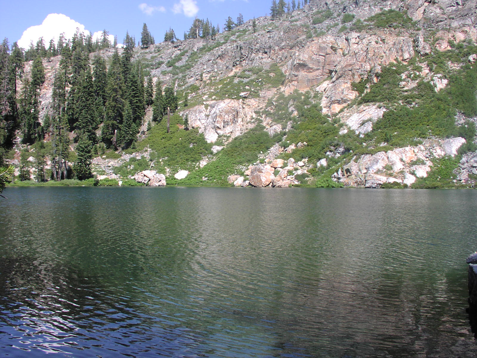
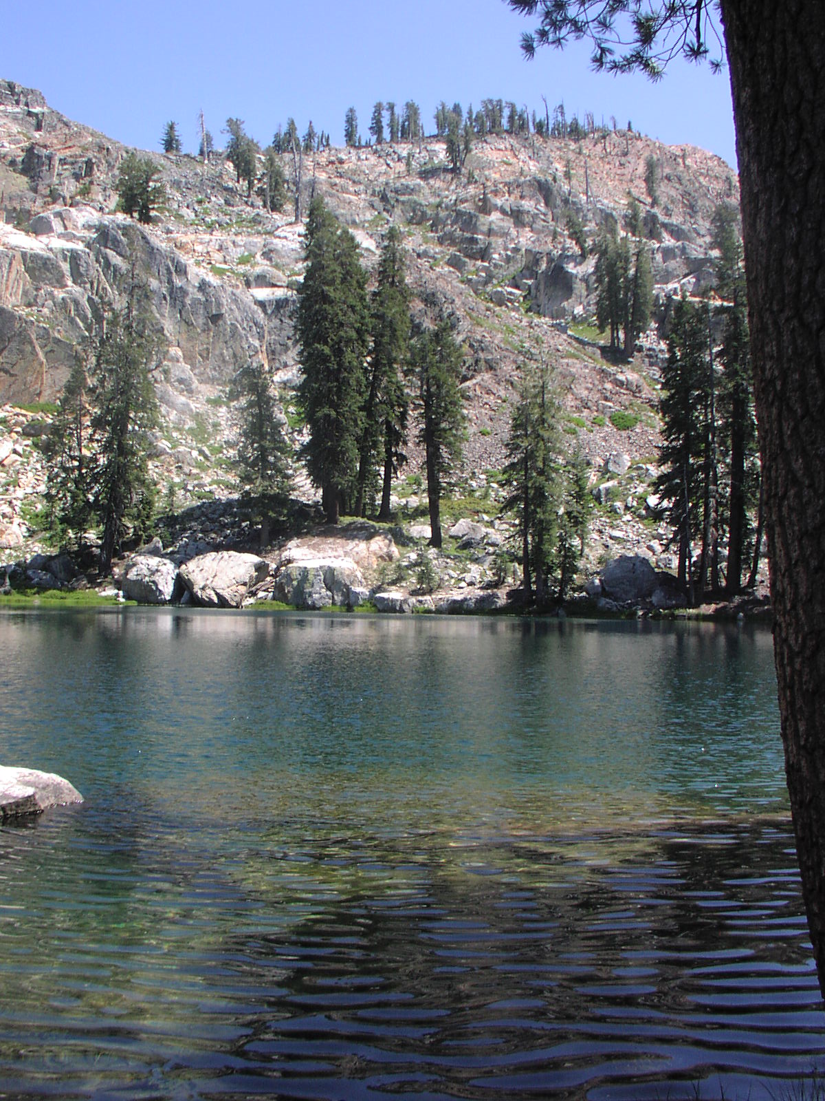
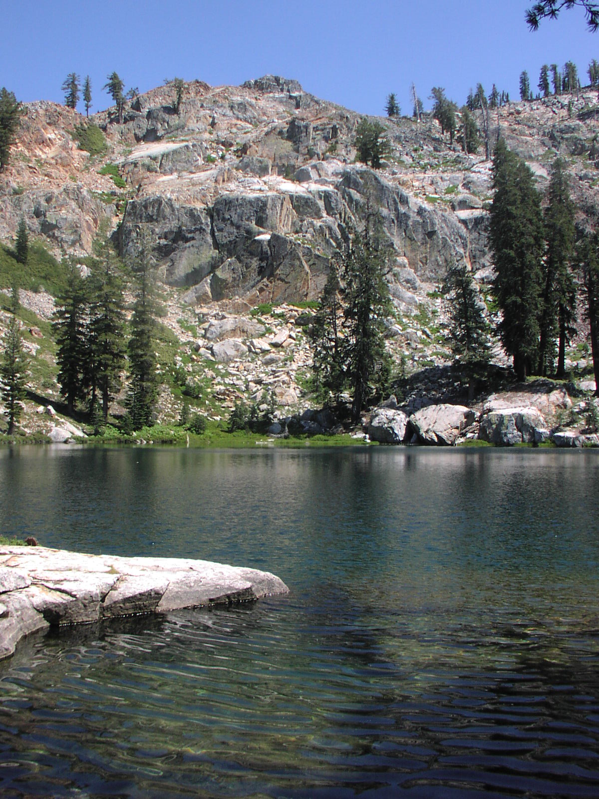
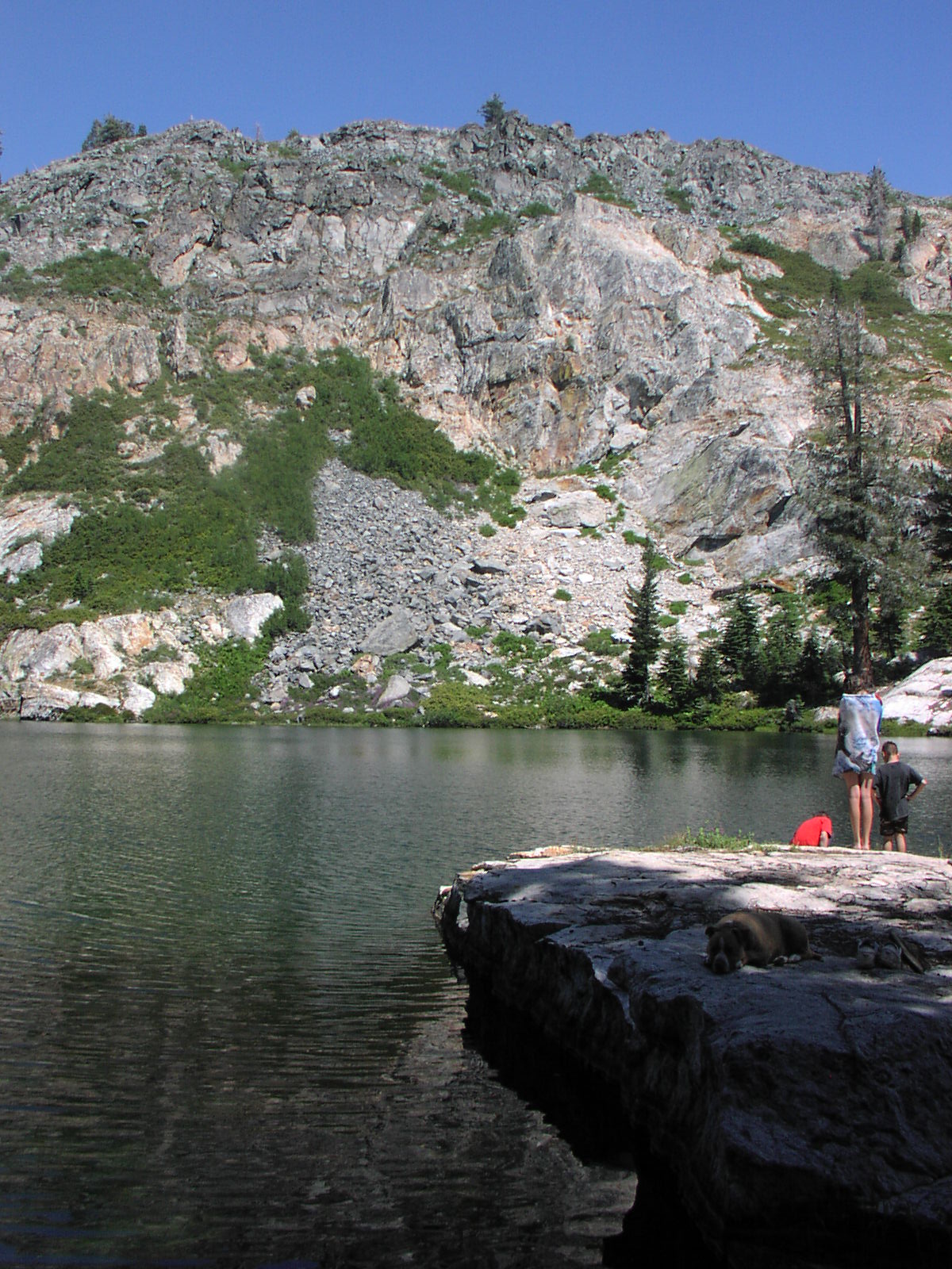
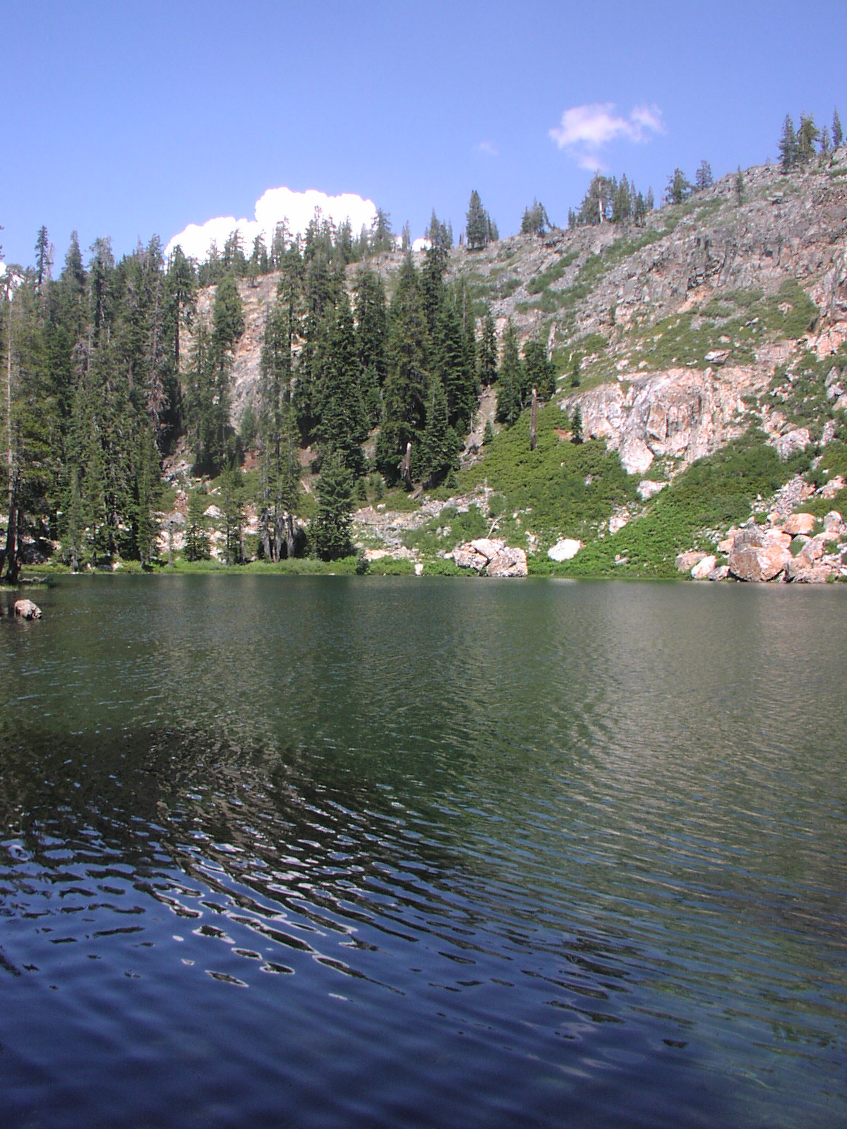
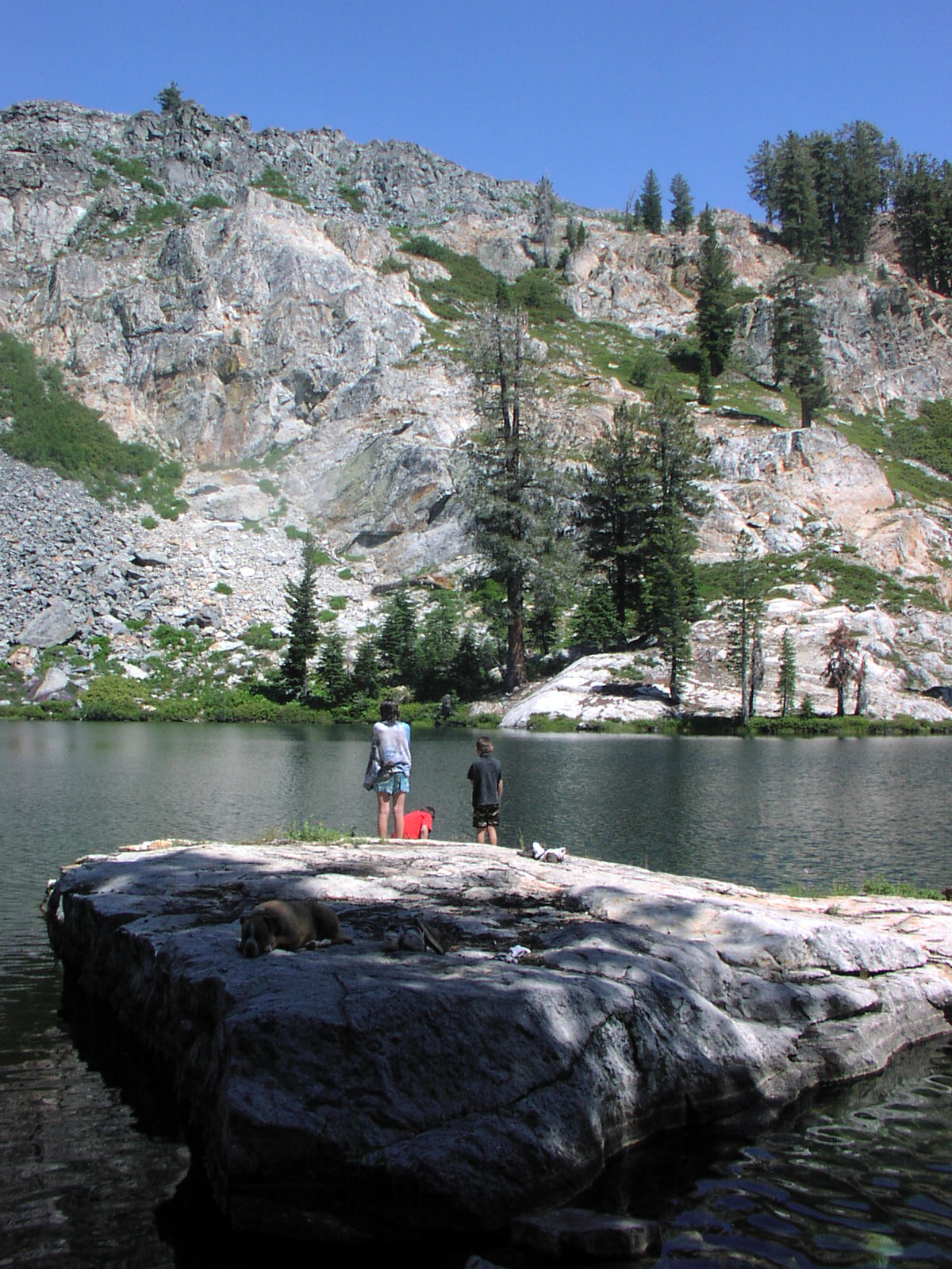
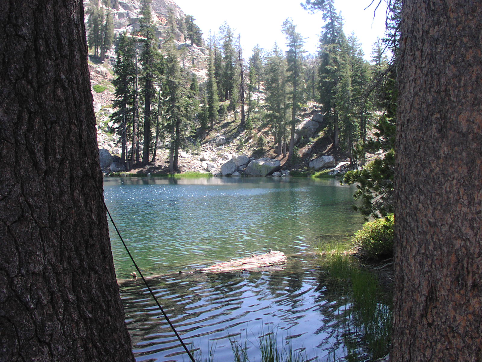
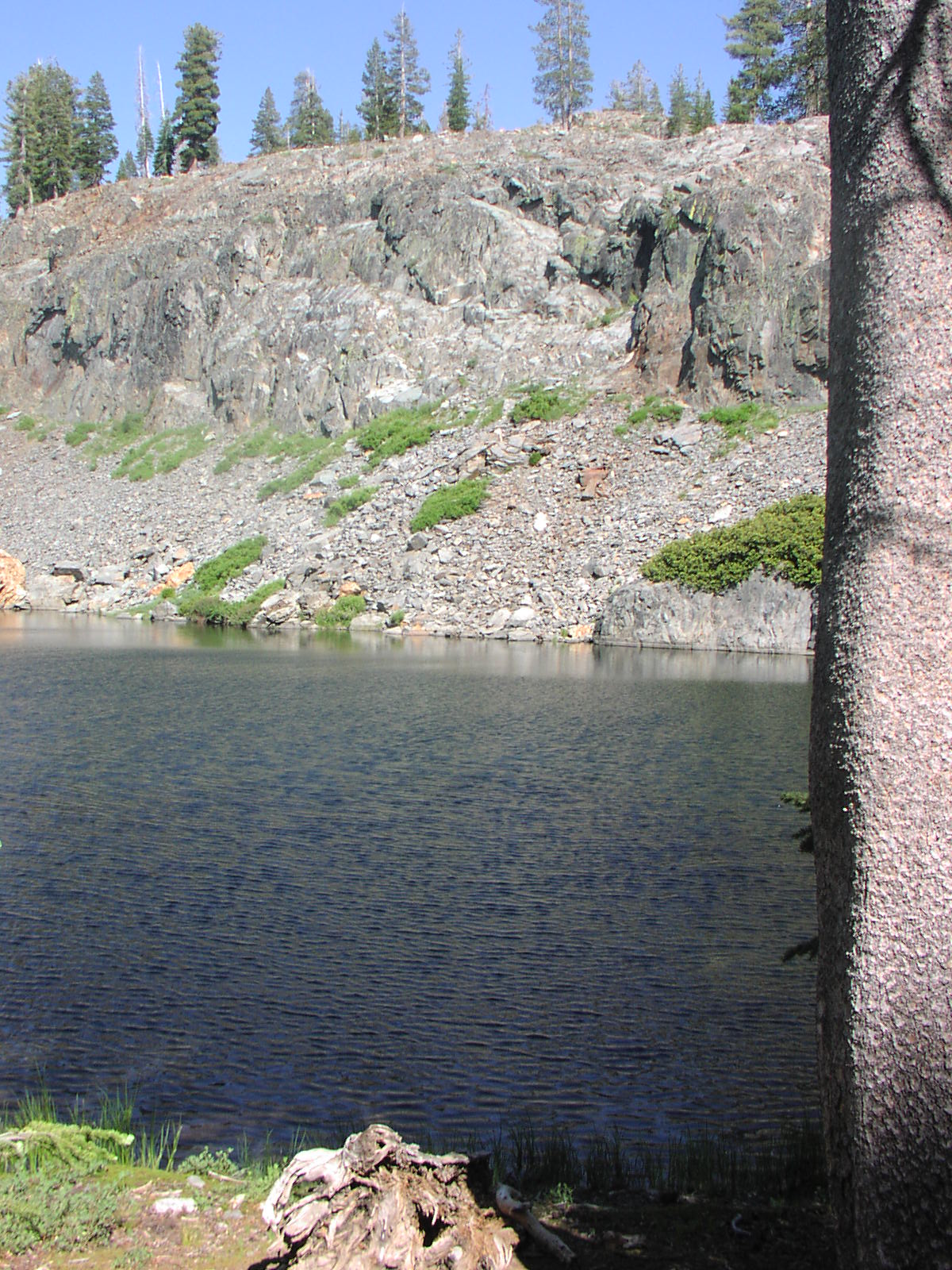
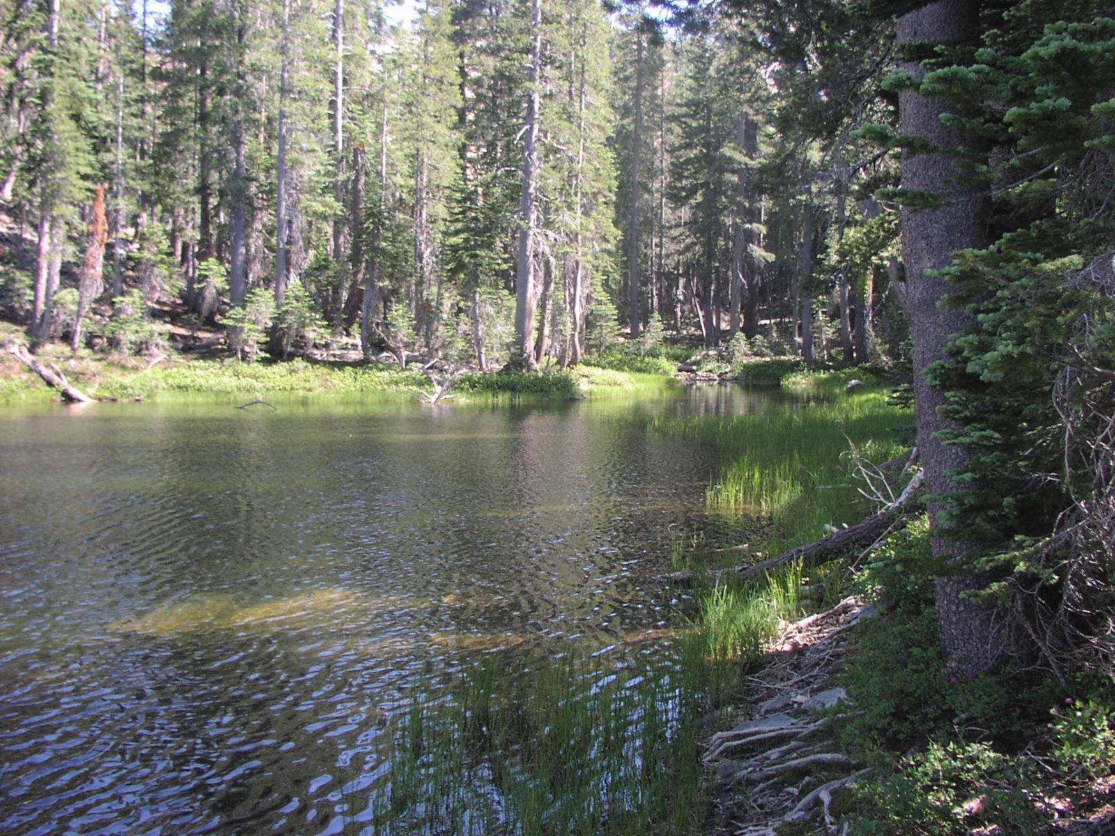
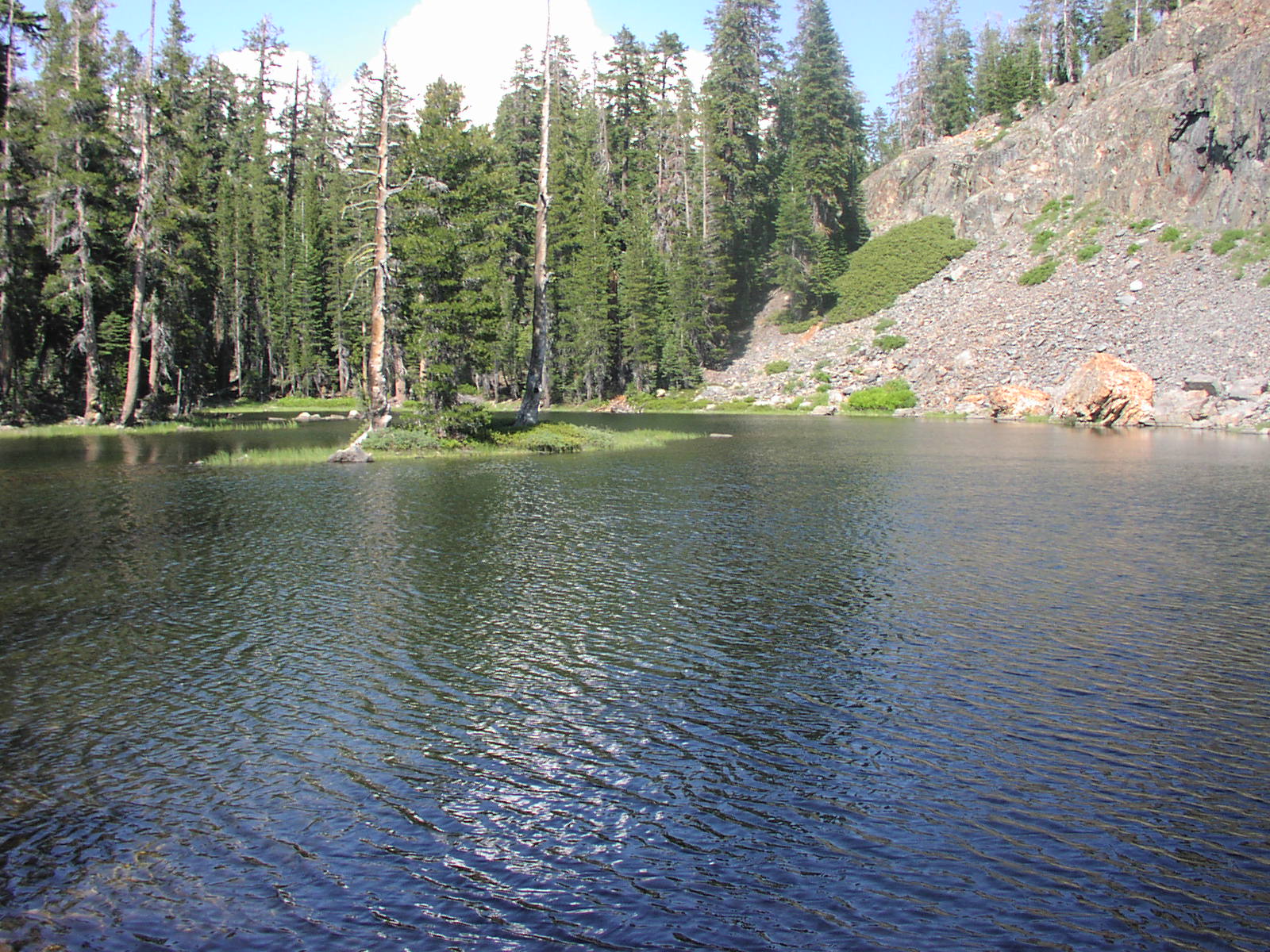
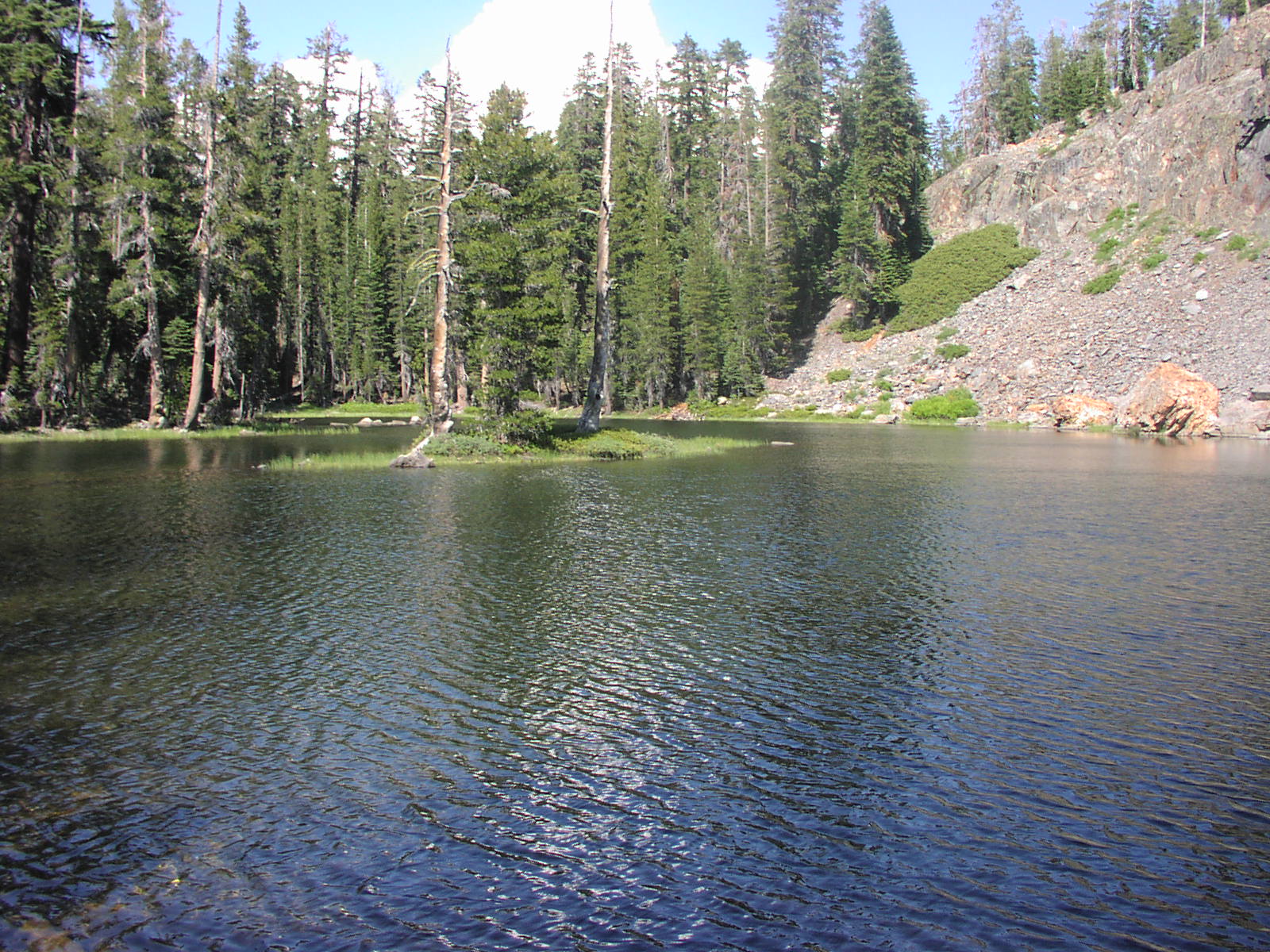
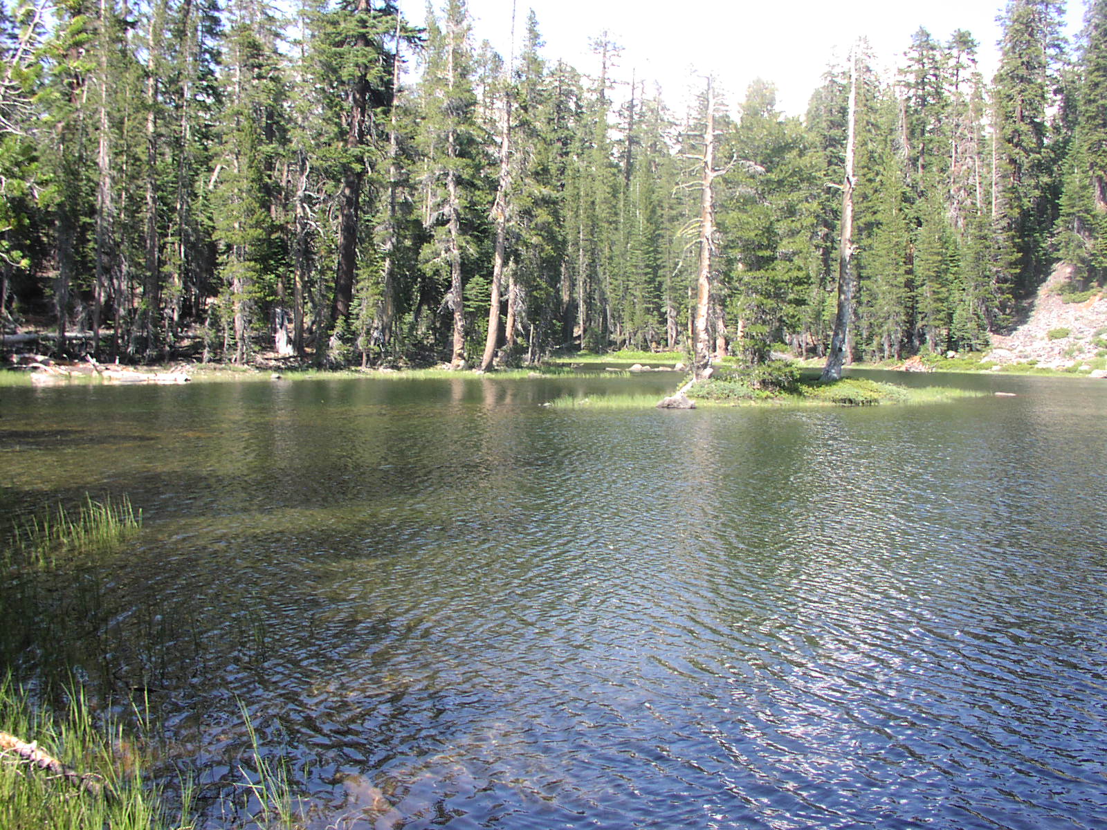
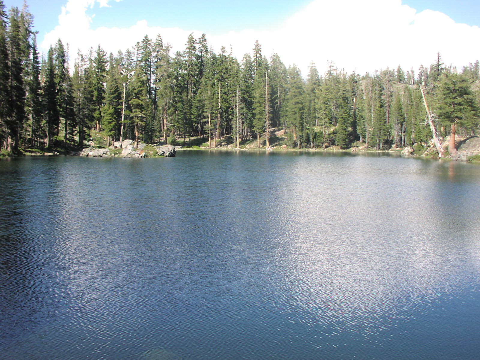
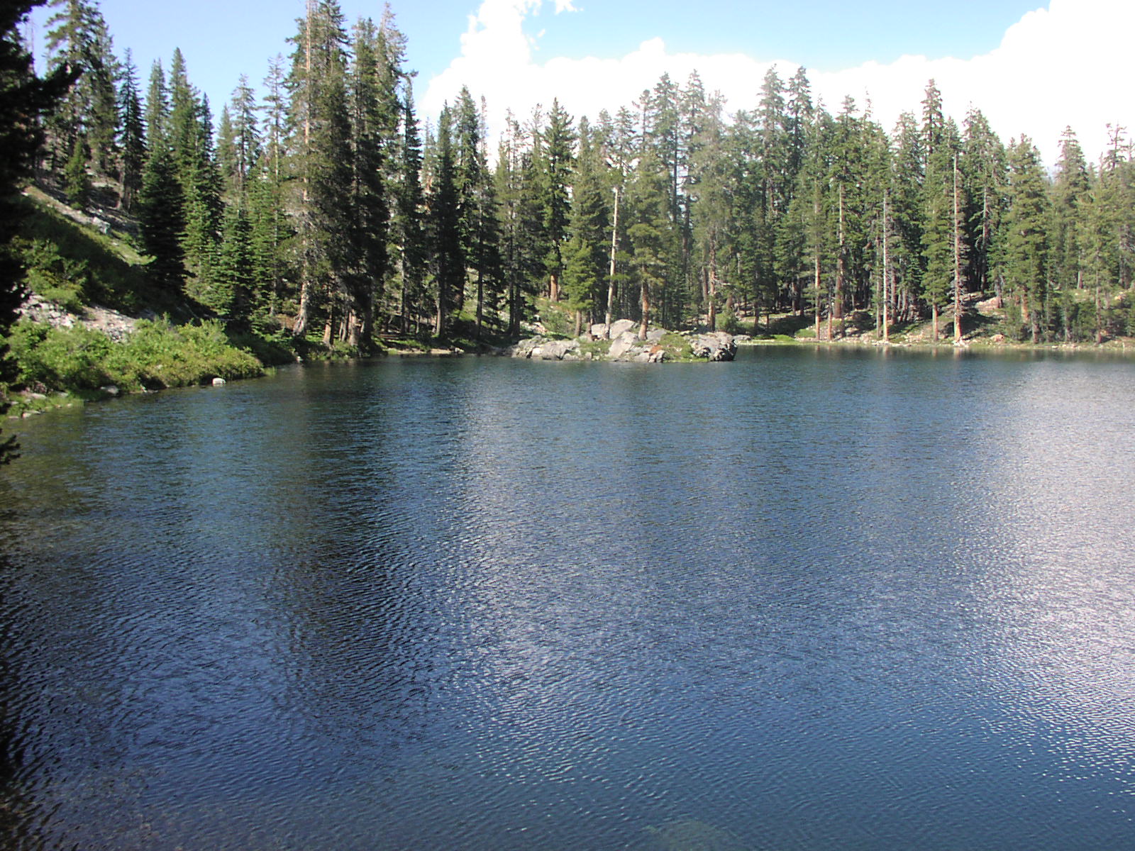
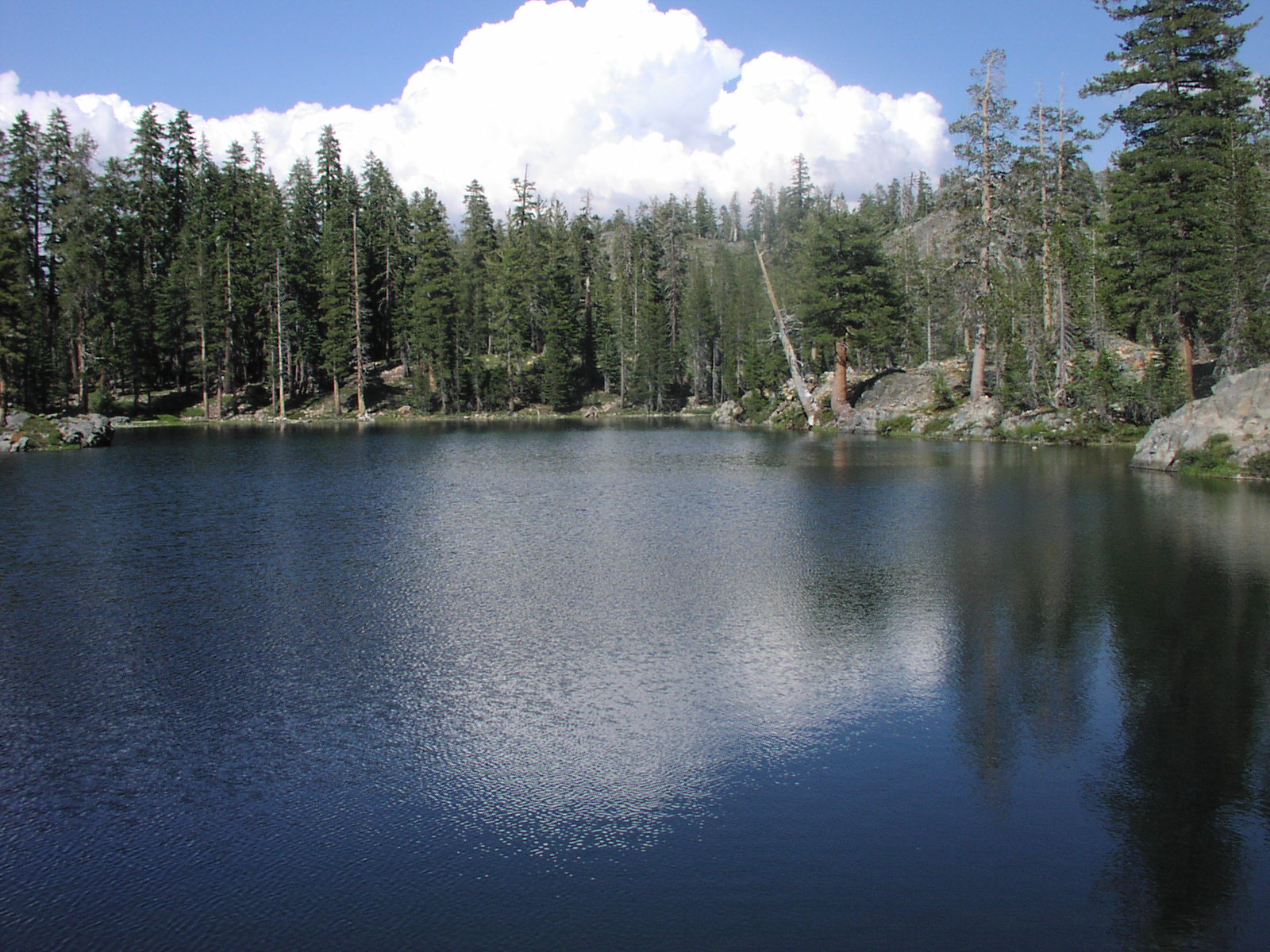
The trail ends at a camp ground in the valley a quarter of a mile away from Iron Lakes and 150ft above.
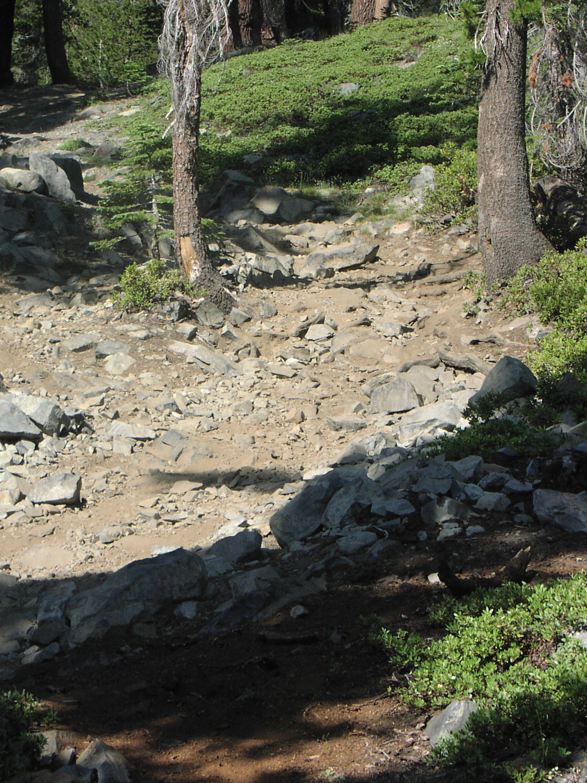
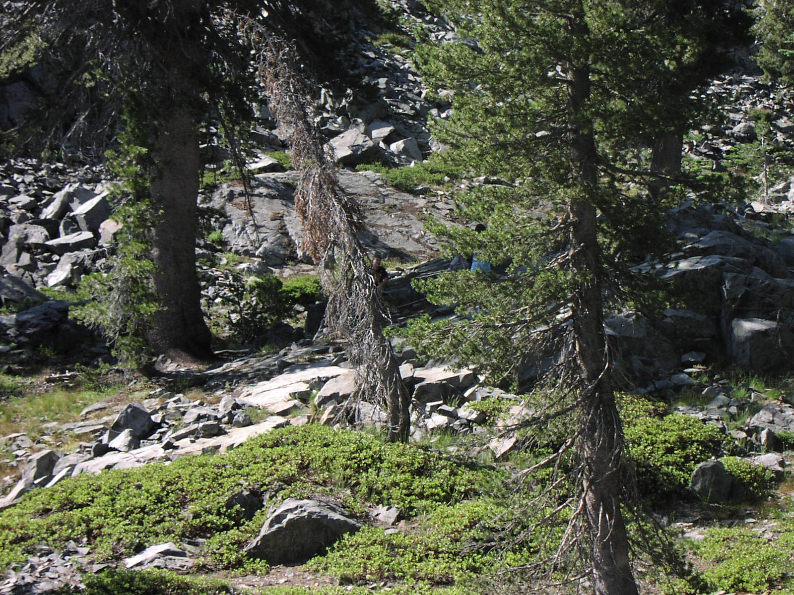
There is not any water in the valley if you plan on staying bring extra water and do not plan on filtering water unless you want to walk down to Iron Lakes every day. When you look north you can see a into Yosemite. Junction Lake and Bare Island Lake are a short walk from Iron Lakes. The lower camp spot is rated as Difficult [8] due to the steep hill and large rocks. |
| Location | Sierra National Forest |
| Directions | Google Maps from Fresno |
| Fishing | In Iron Lakes and Bare Island Lake |
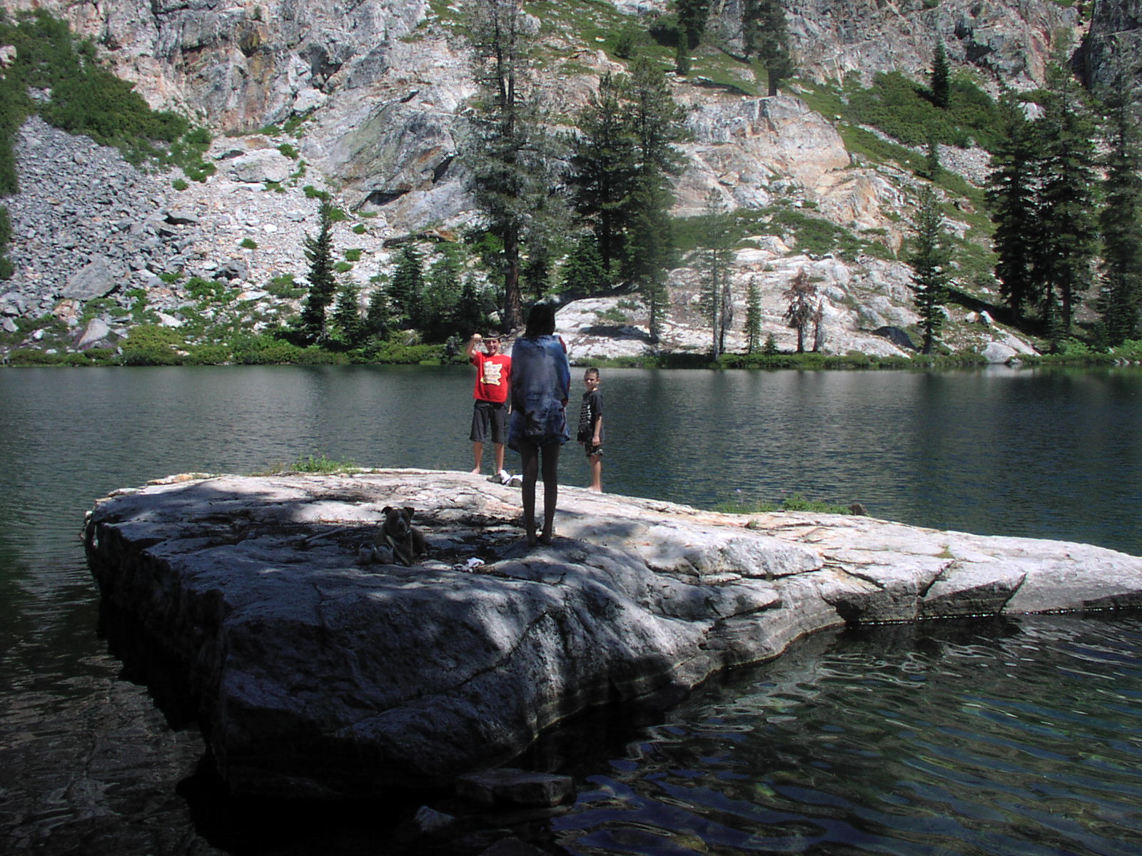
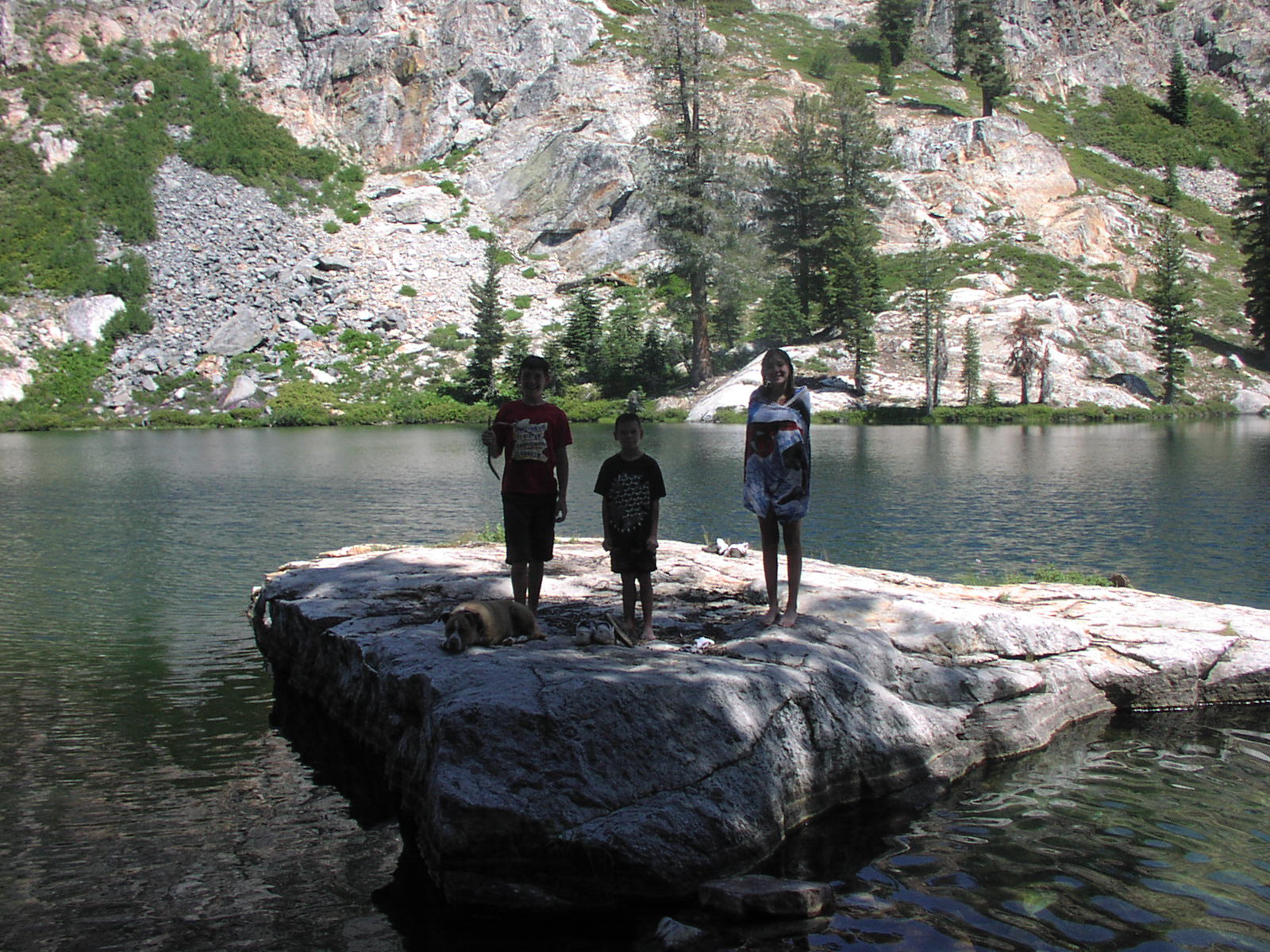
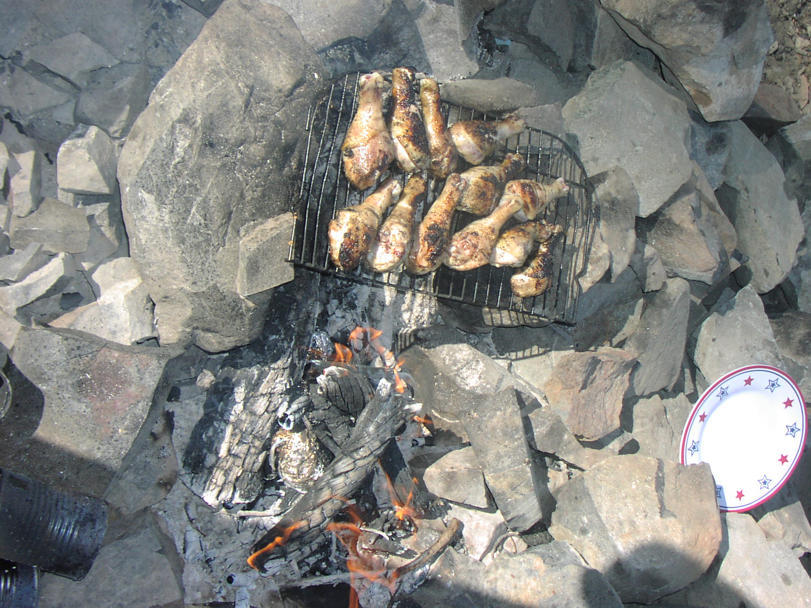
| Camping | In the valley and at the lake |
| Elevation | 7900 - 8500 |
| Latitude | 37° 29' 26" N |
| Longitude | 119° 30' 10" W |
| Weather | National Weather Service |
| Map Index | E-3 (Sierra National Forest) |
| Maps |
Small Map of Area Sierra National Forest Map (9MB) |
| Adopted By | 4x 4Him Christian Wheelers |
| Links | USDA Forest Service - Sierra National Forest |
| Video |
Iron Lakes 08 Iron Lakes by Ryan |
View Larger Map
|