| Author | whokrz |
| Year | 2009 |
| Trail Open | June - October (Depending on snow level) |
| Difficulty | Moderate [5] |
| Description |
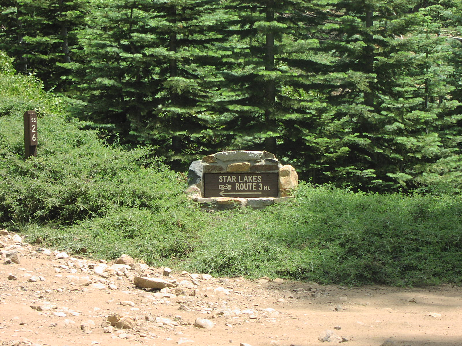
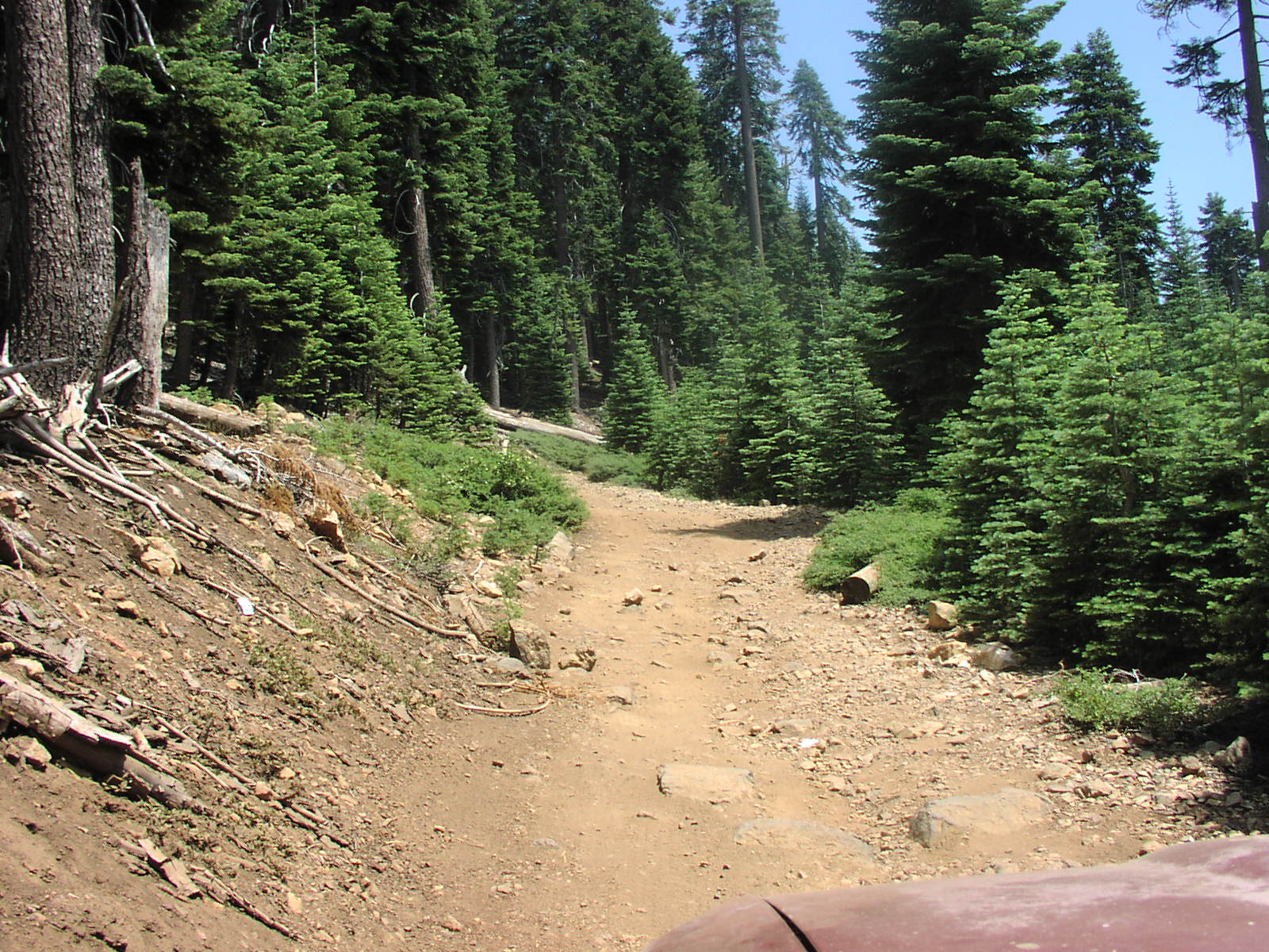
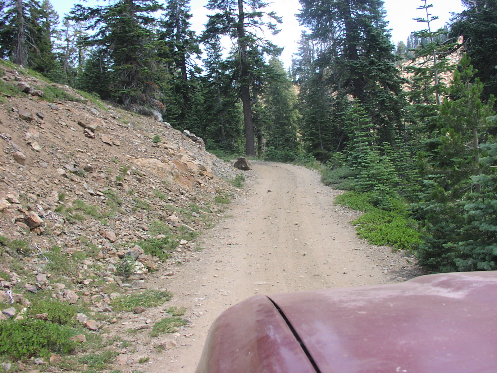
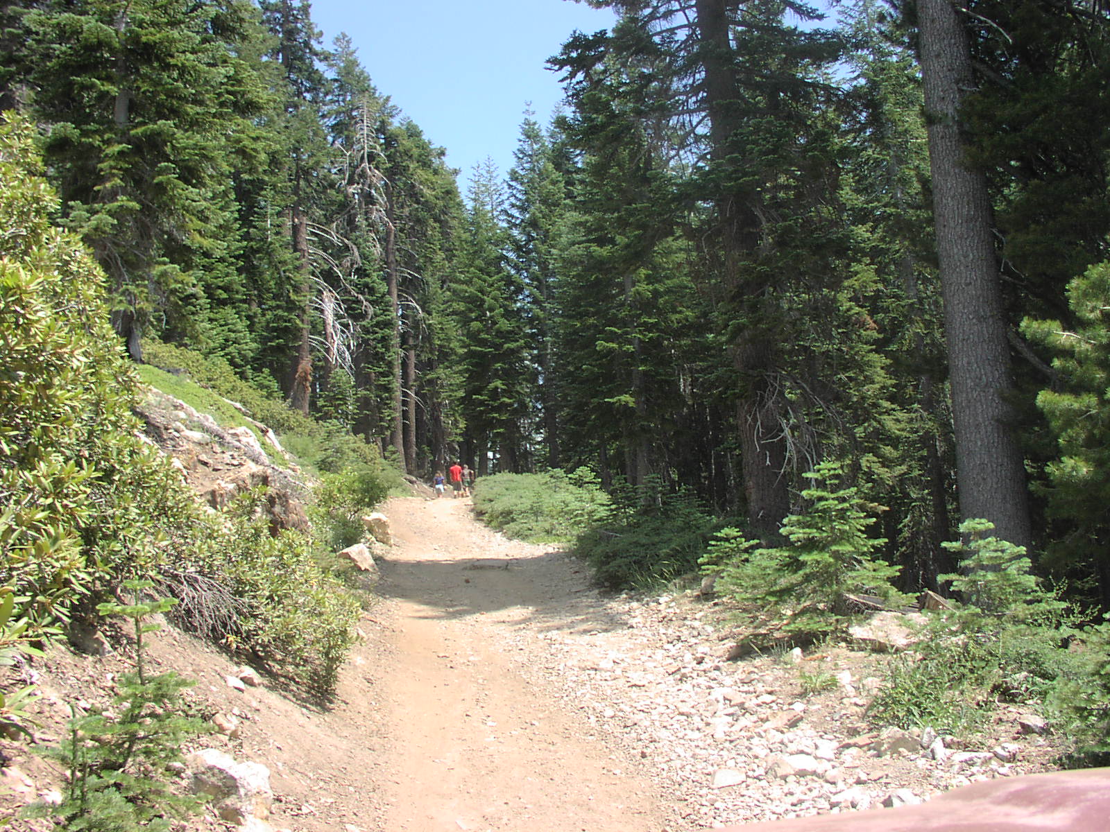
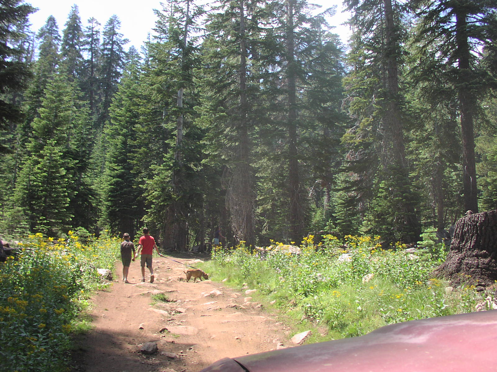
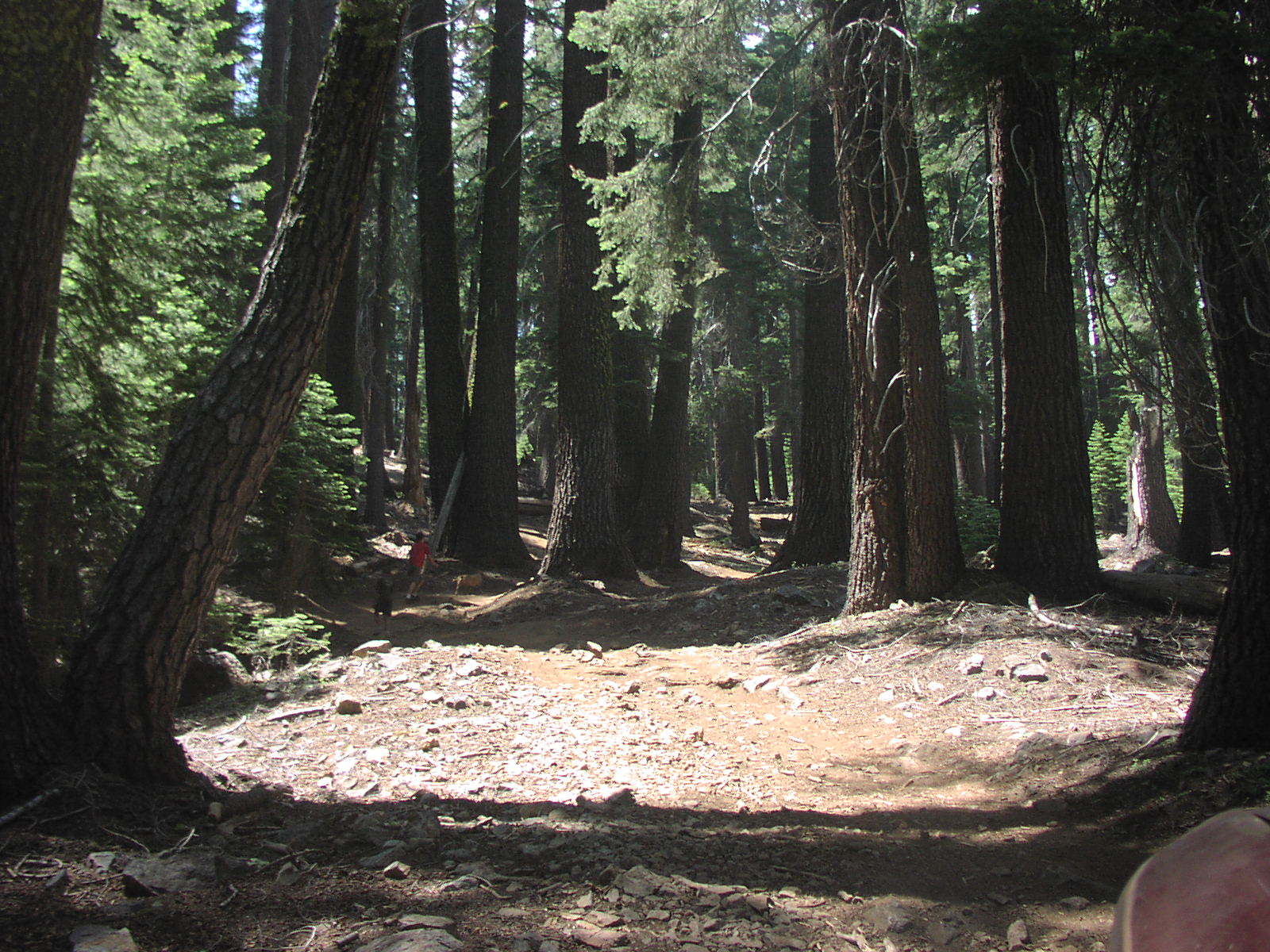
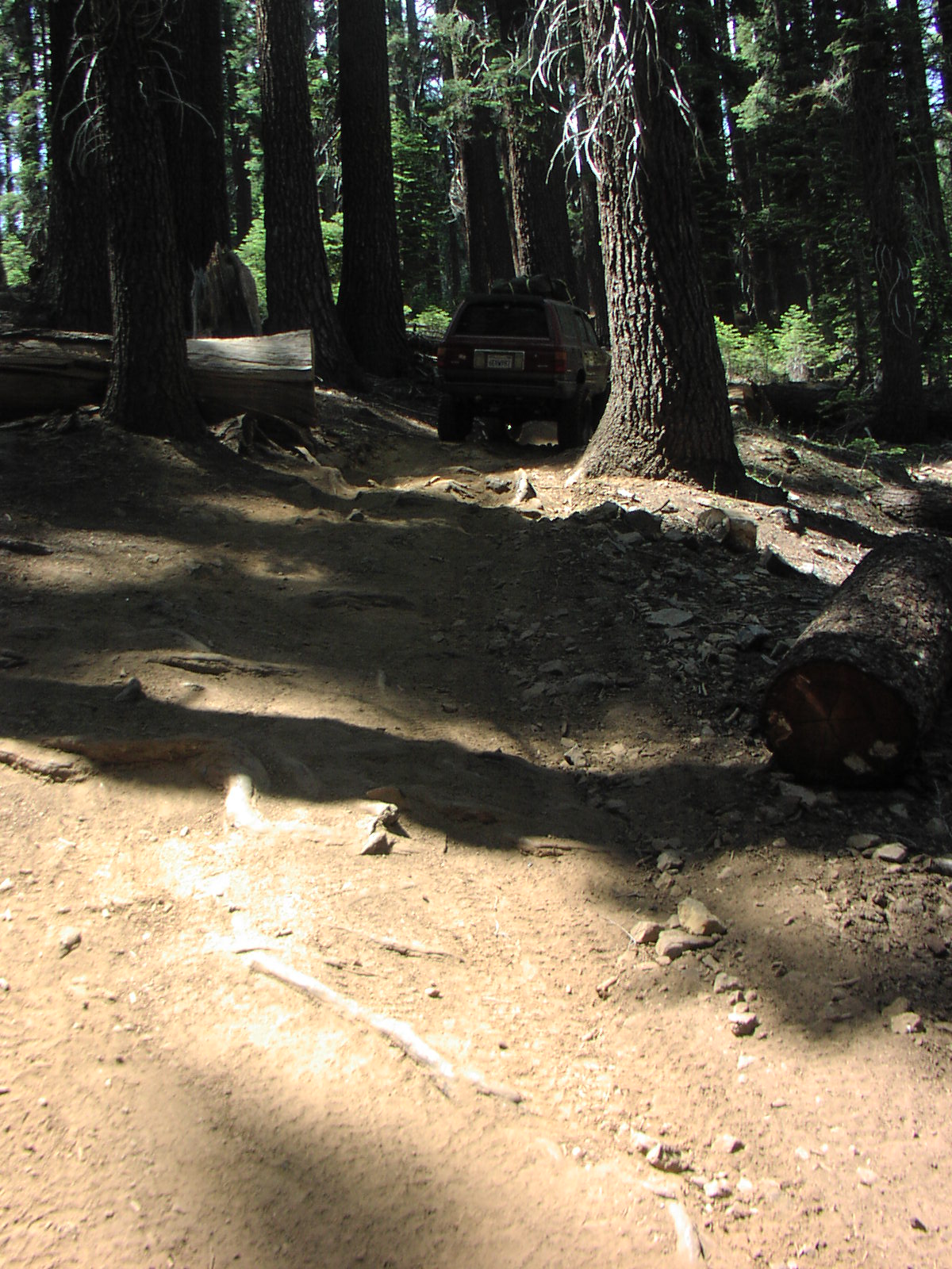
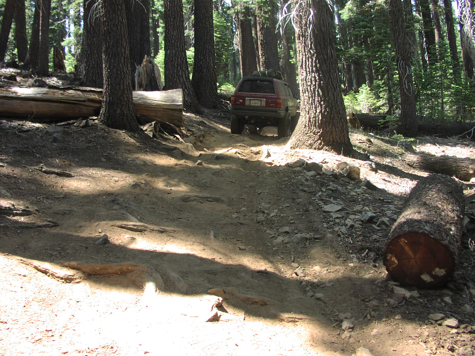
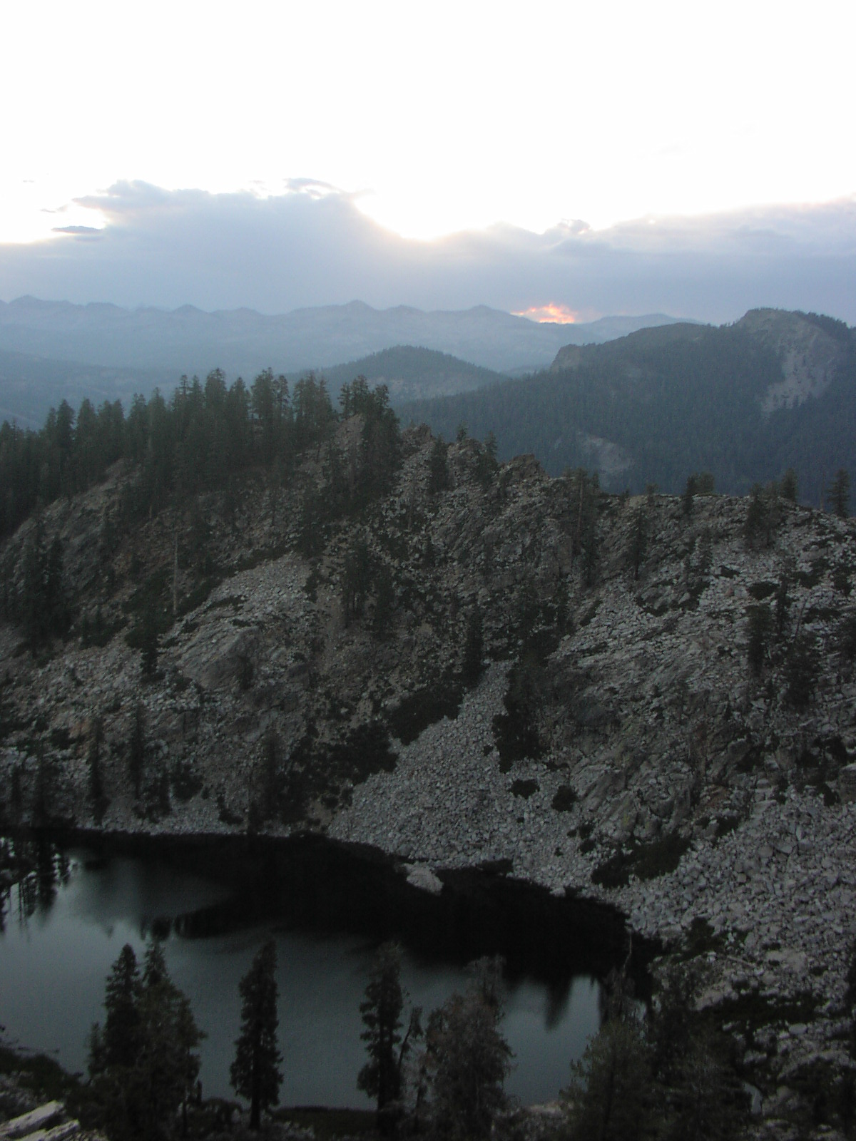
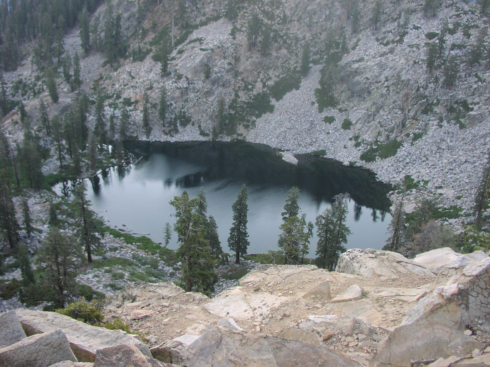
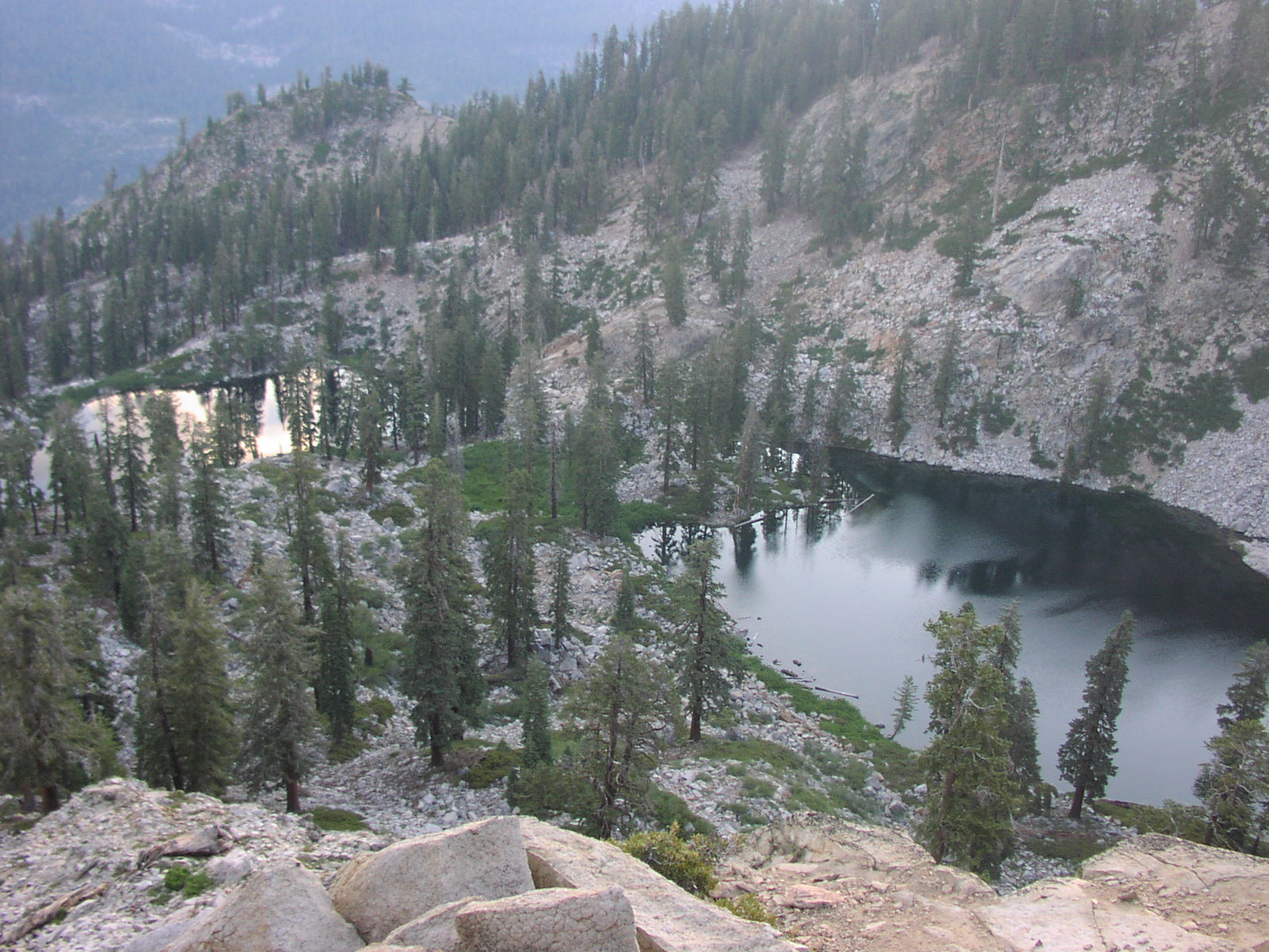
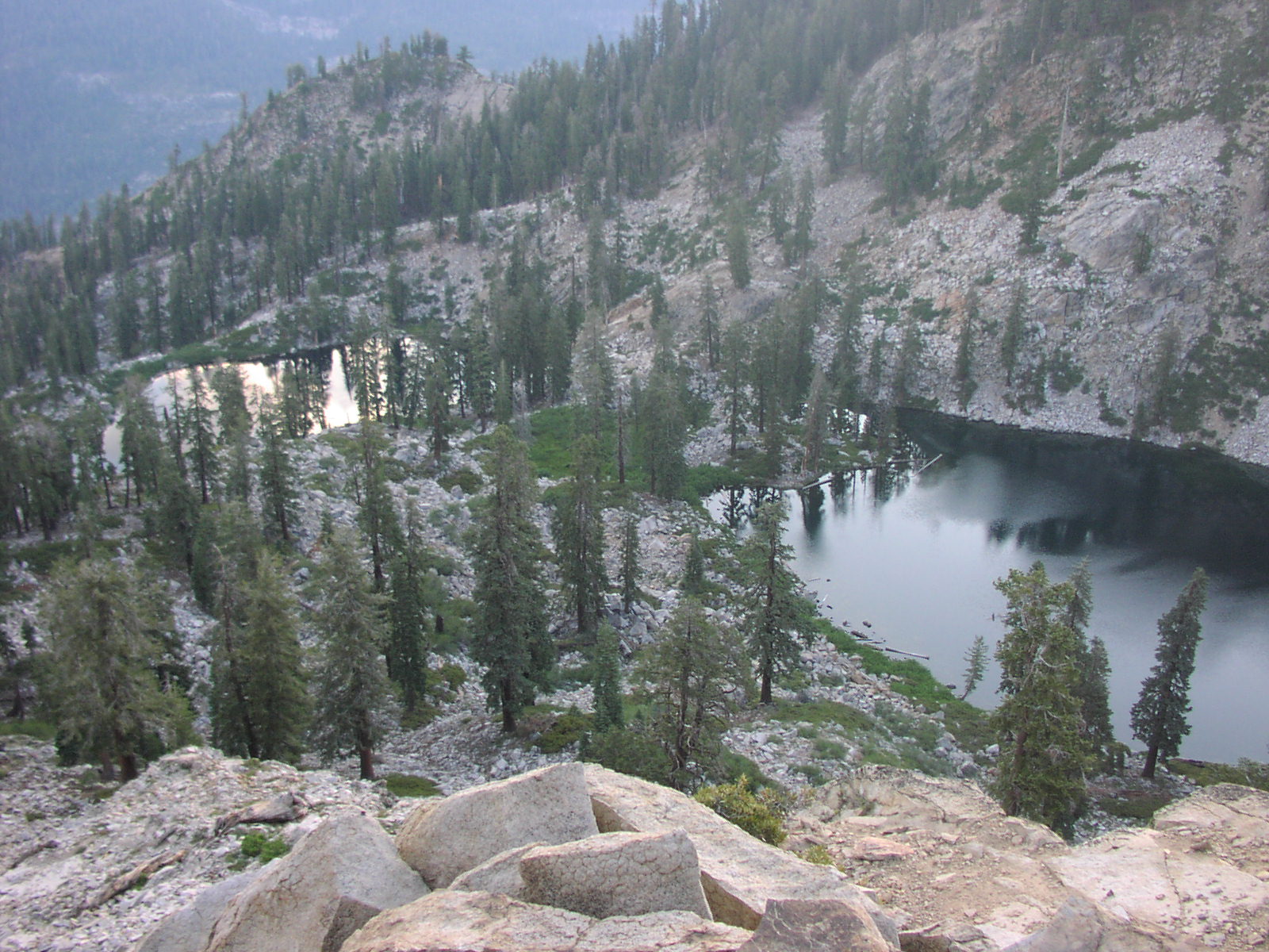
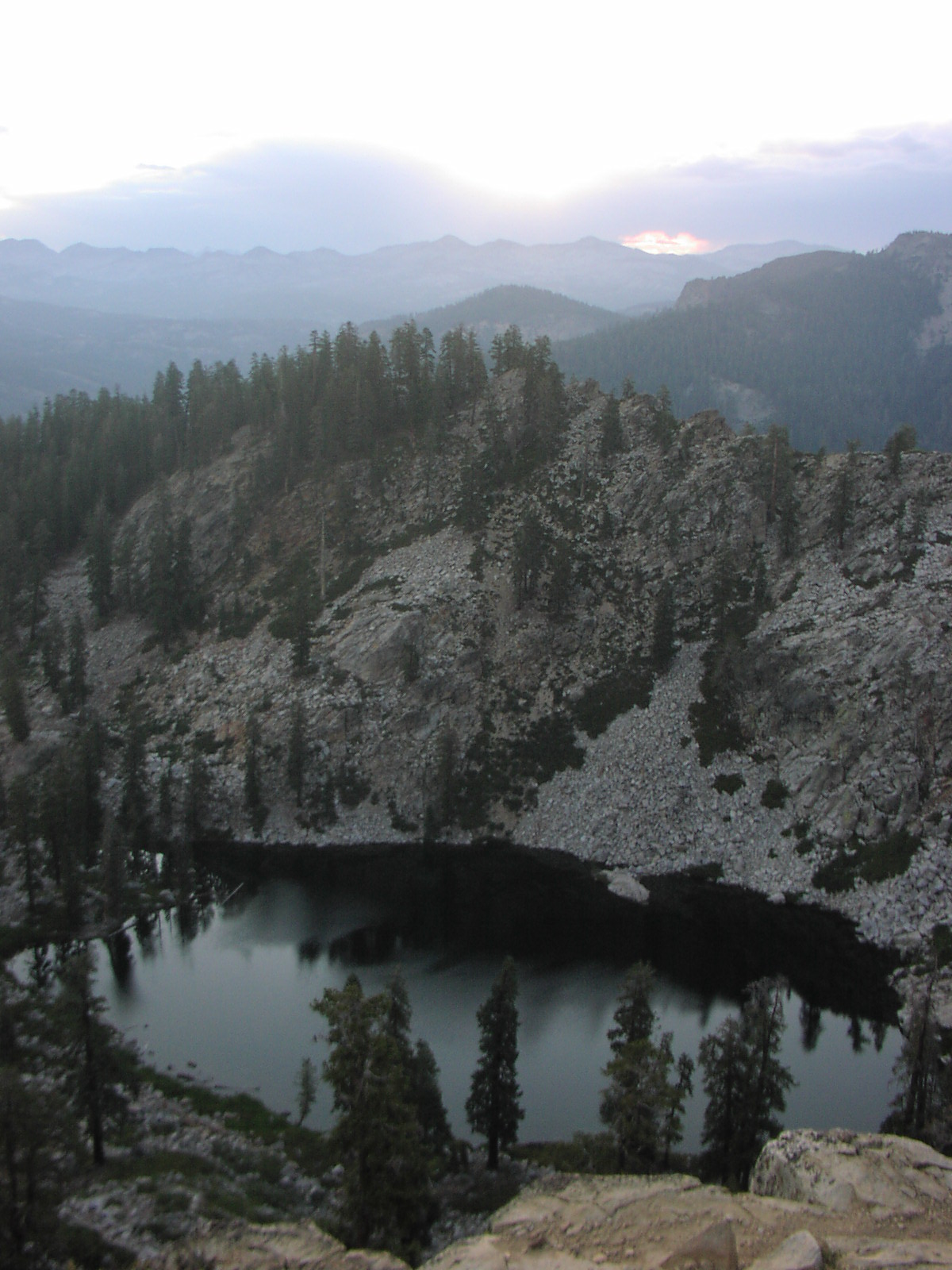
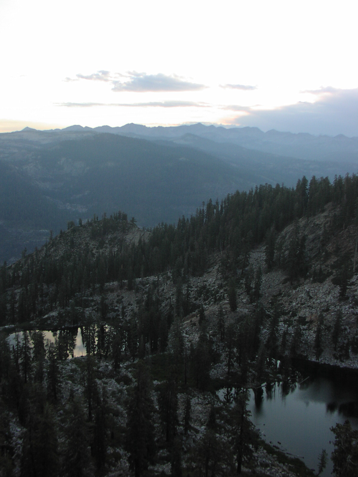
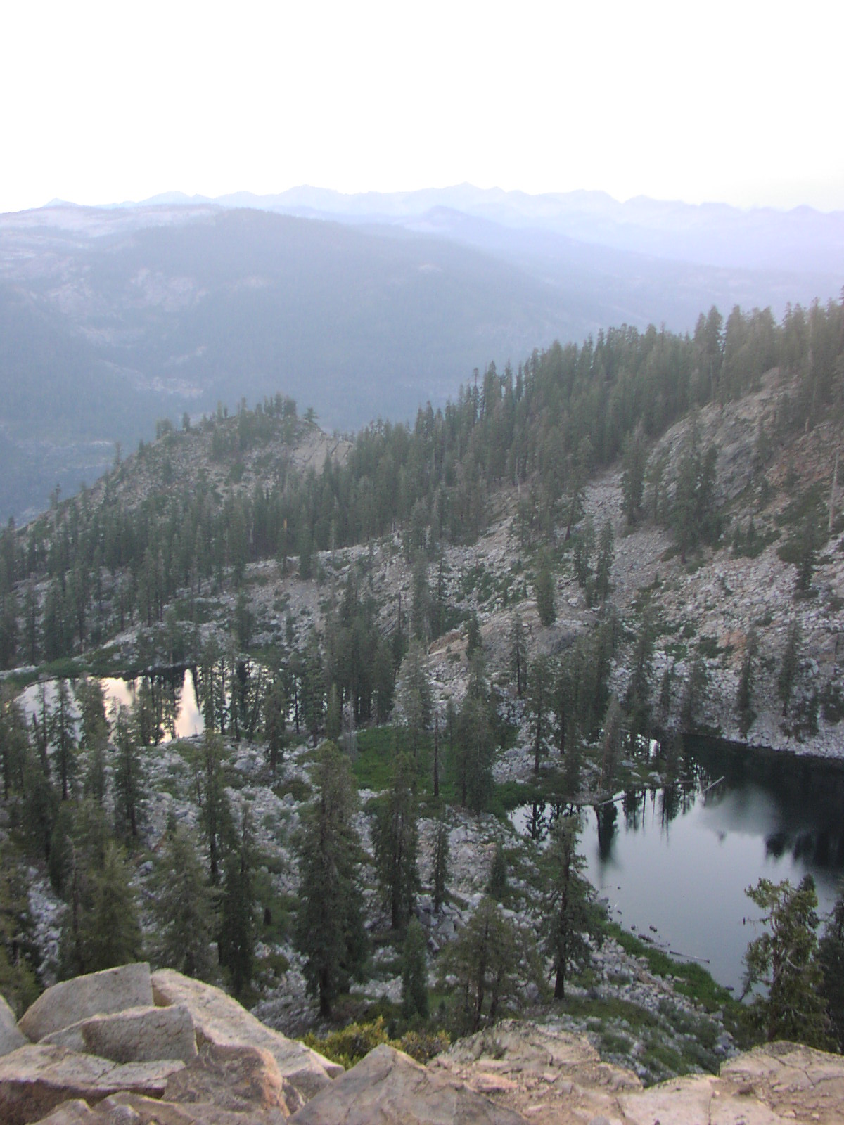
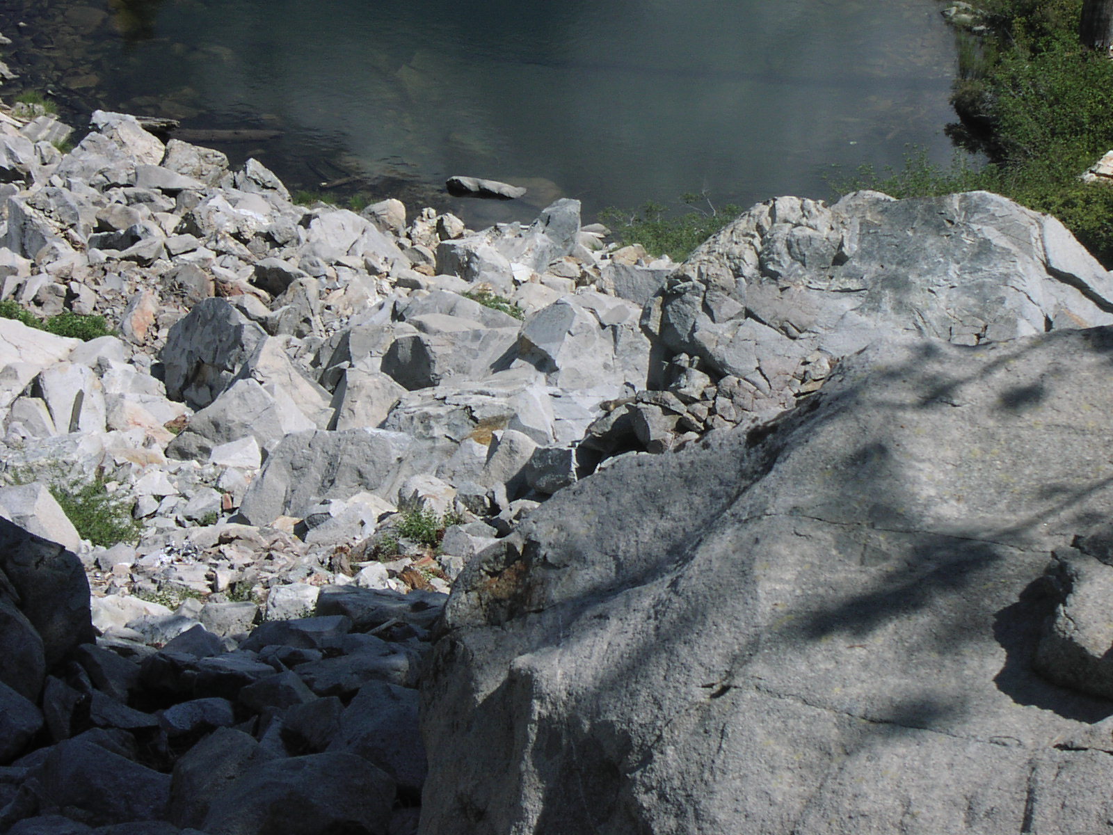
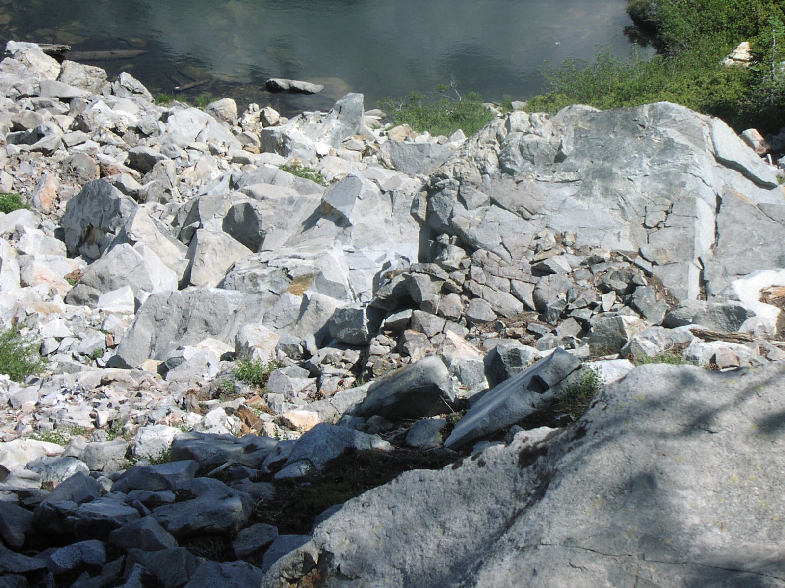
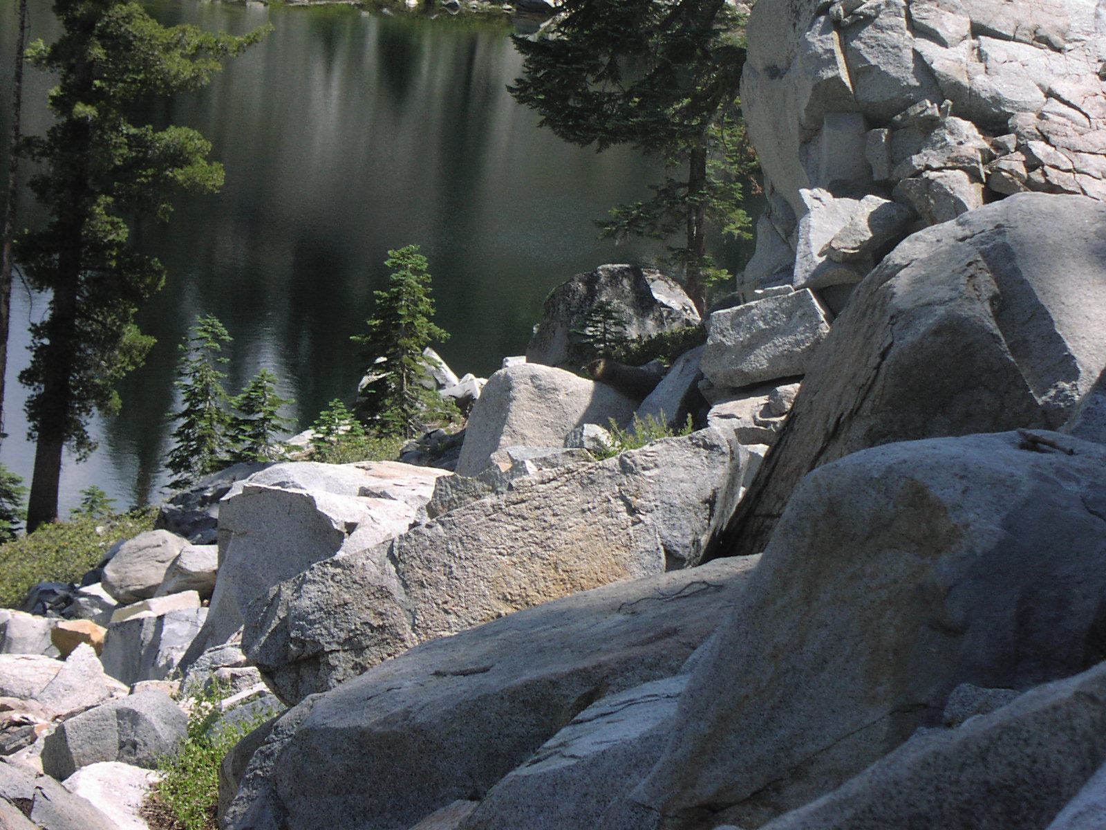
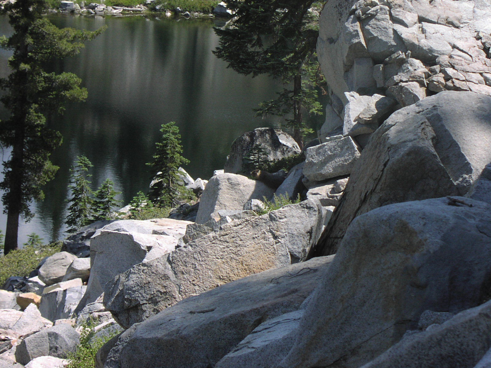
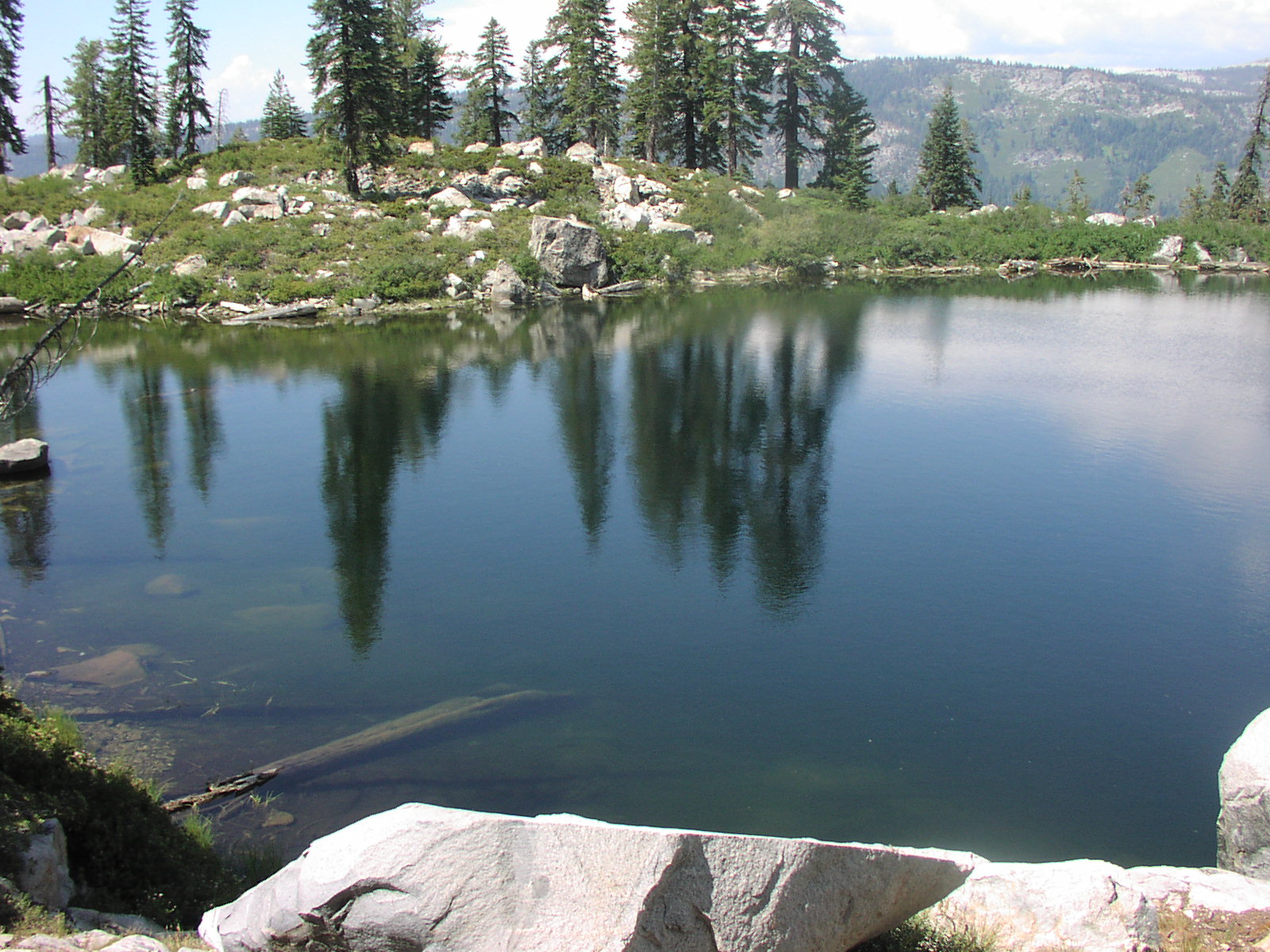
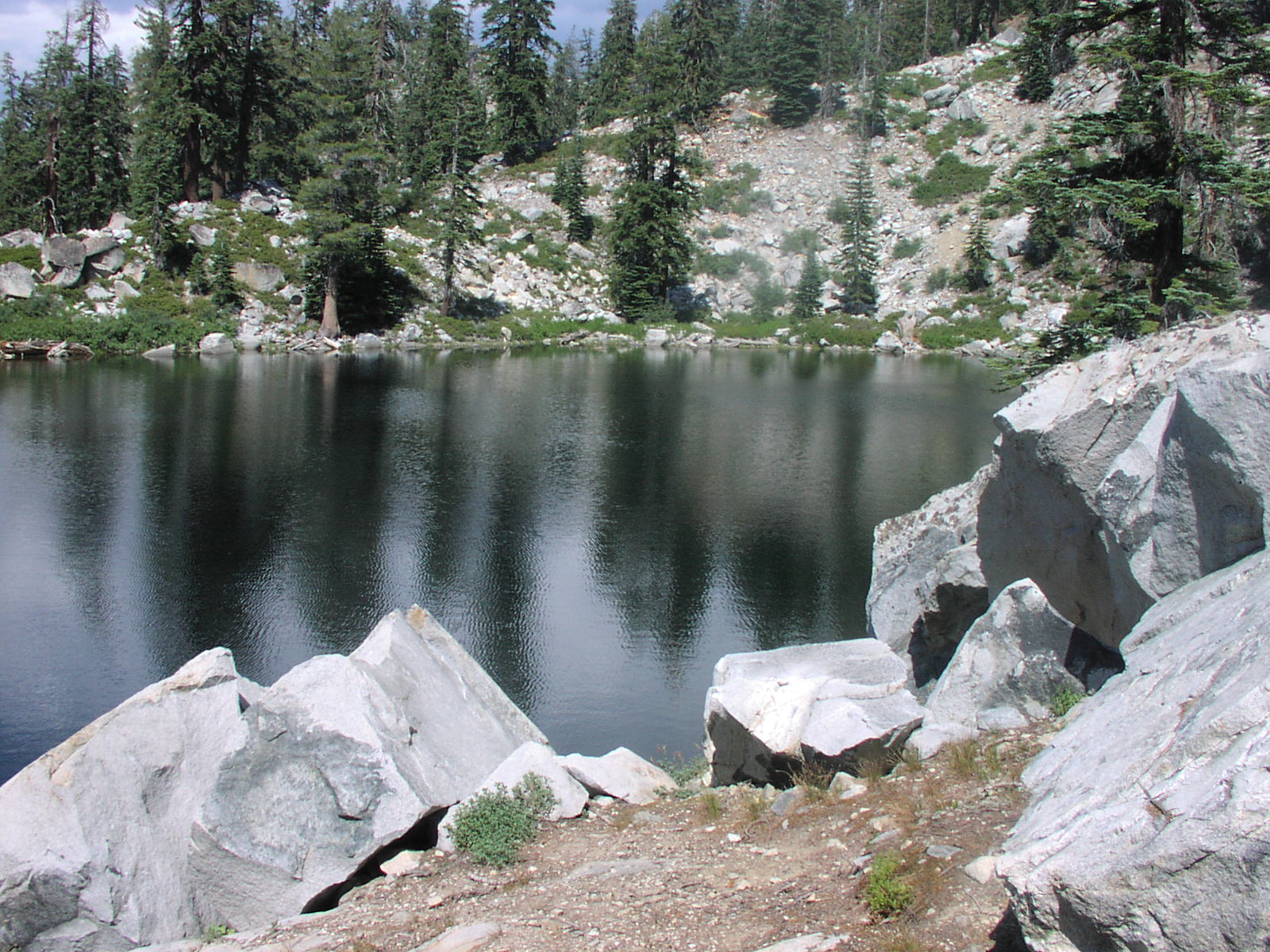
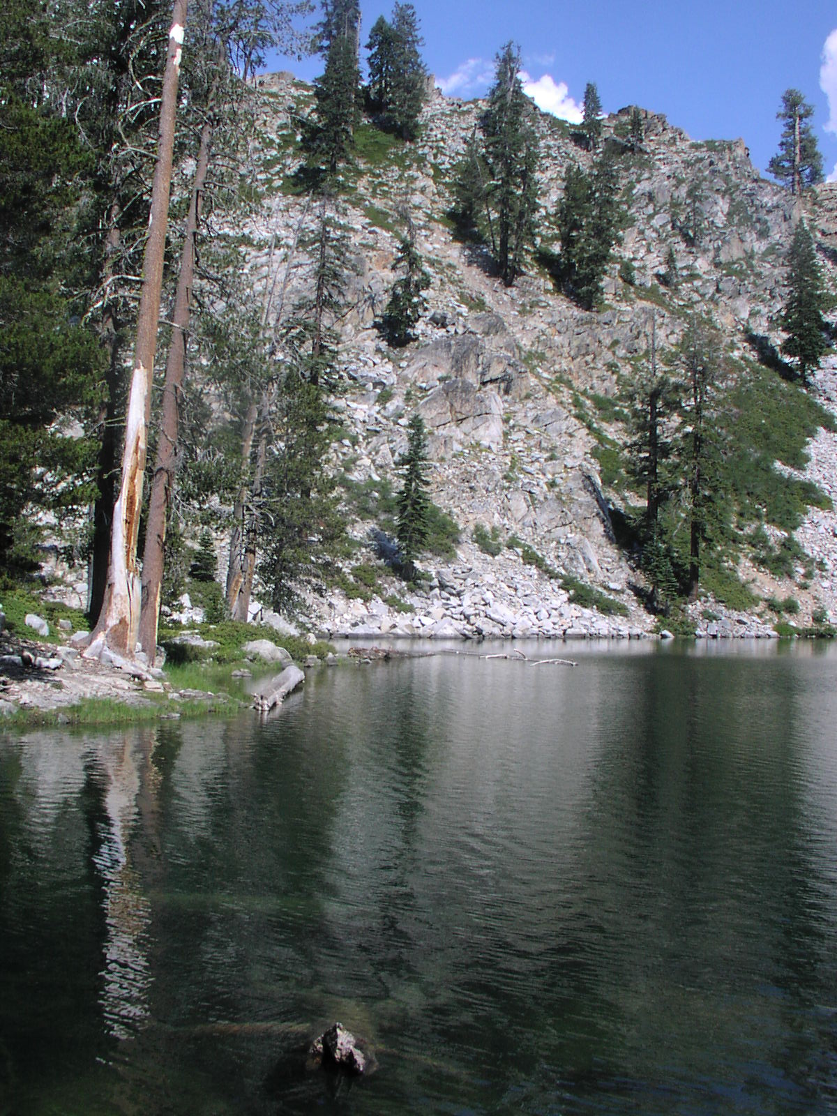
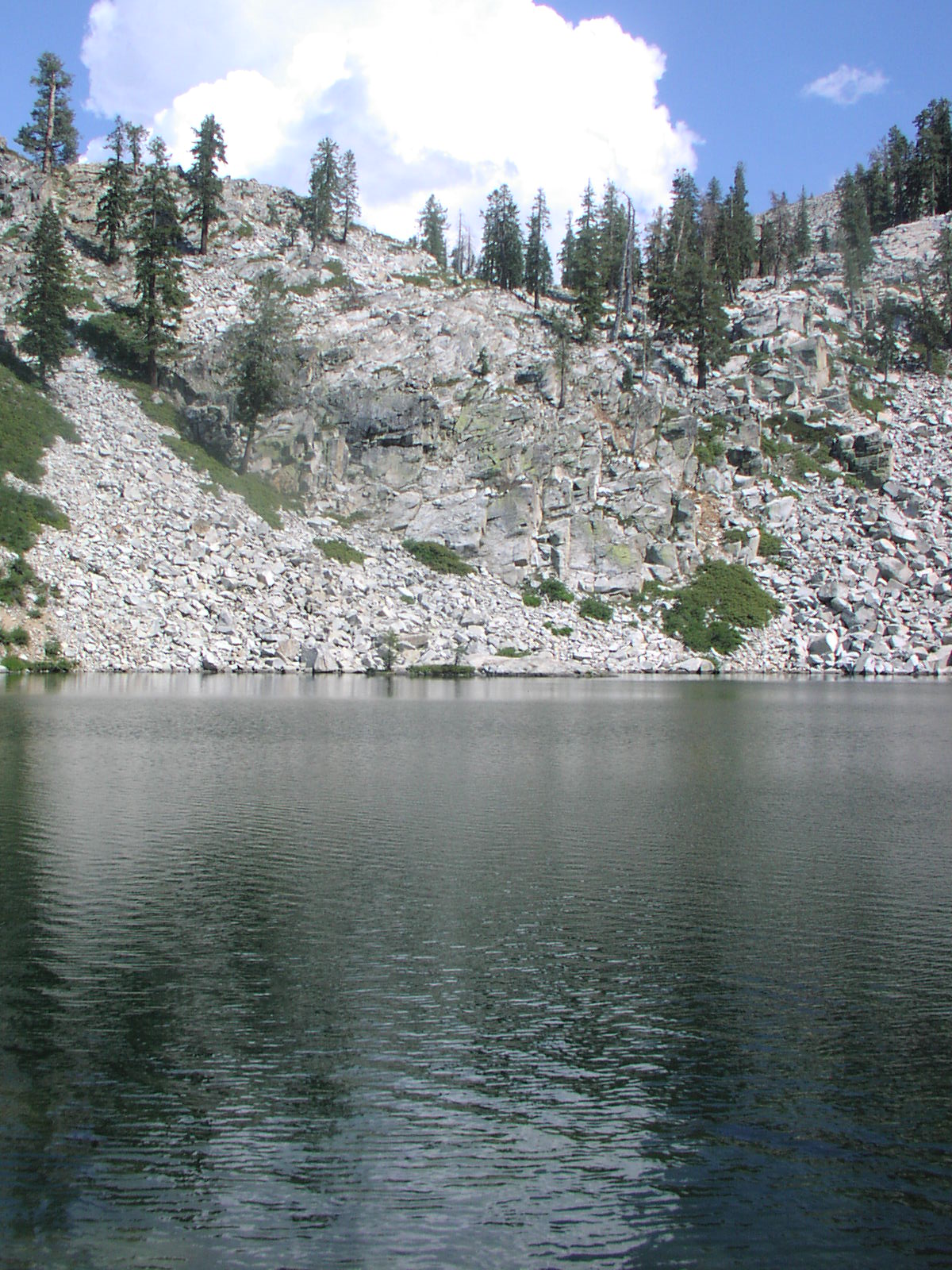
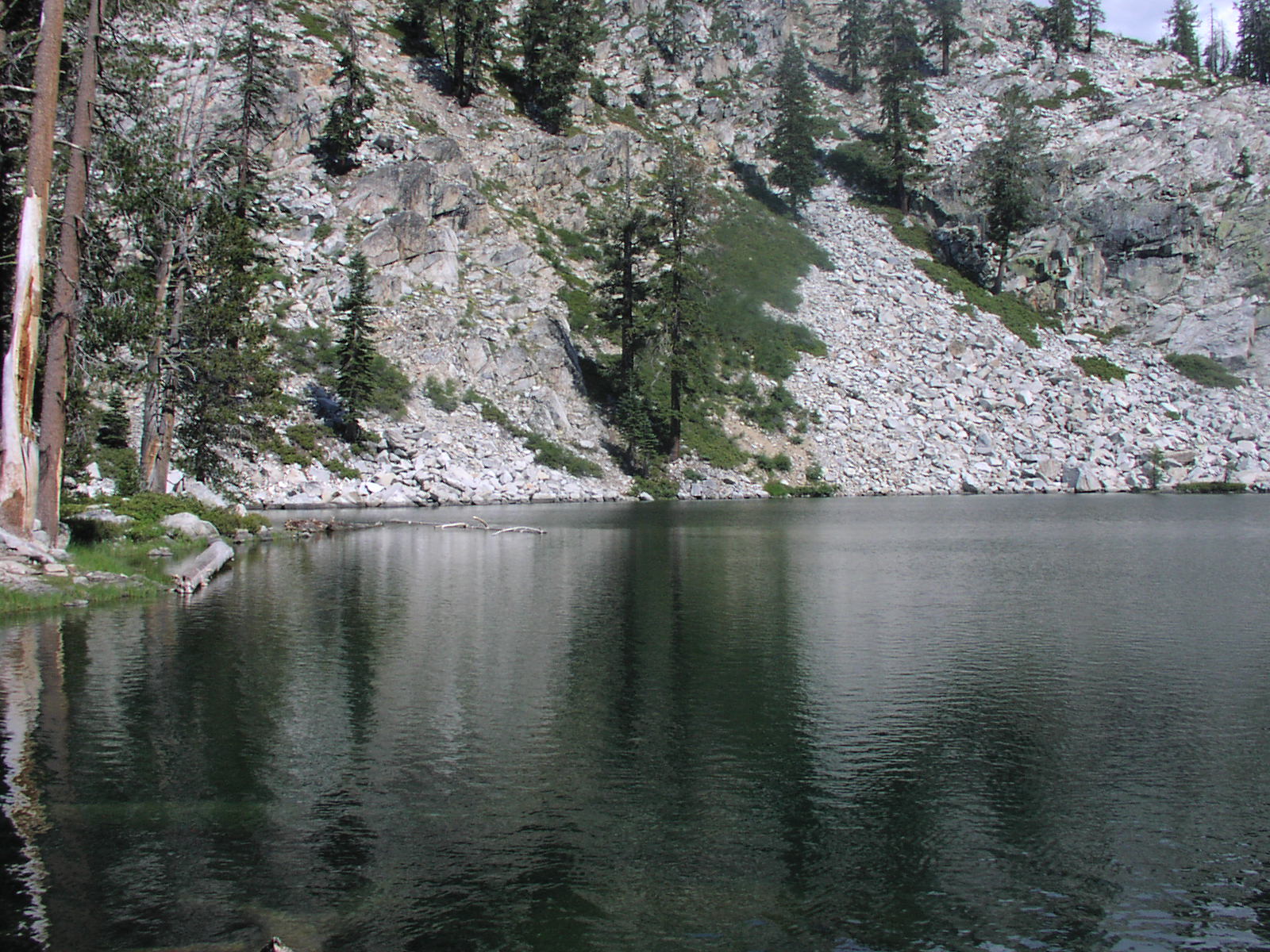
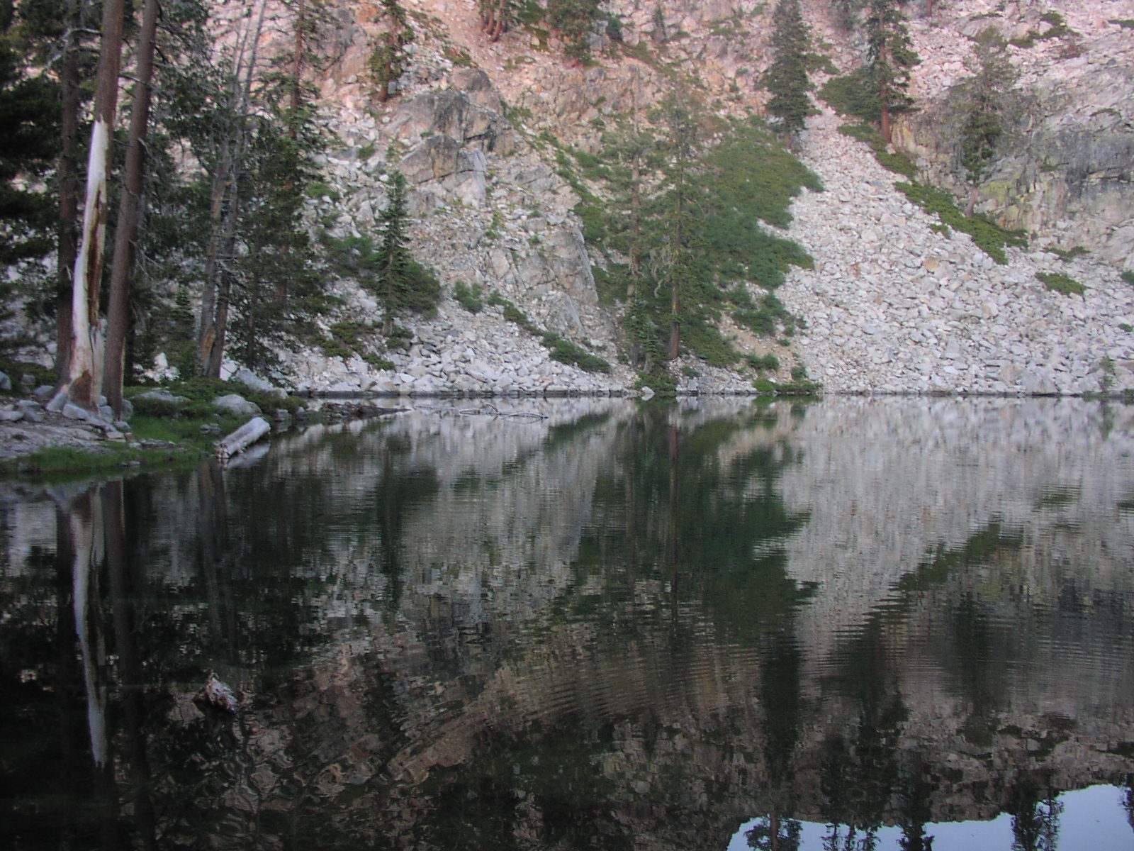
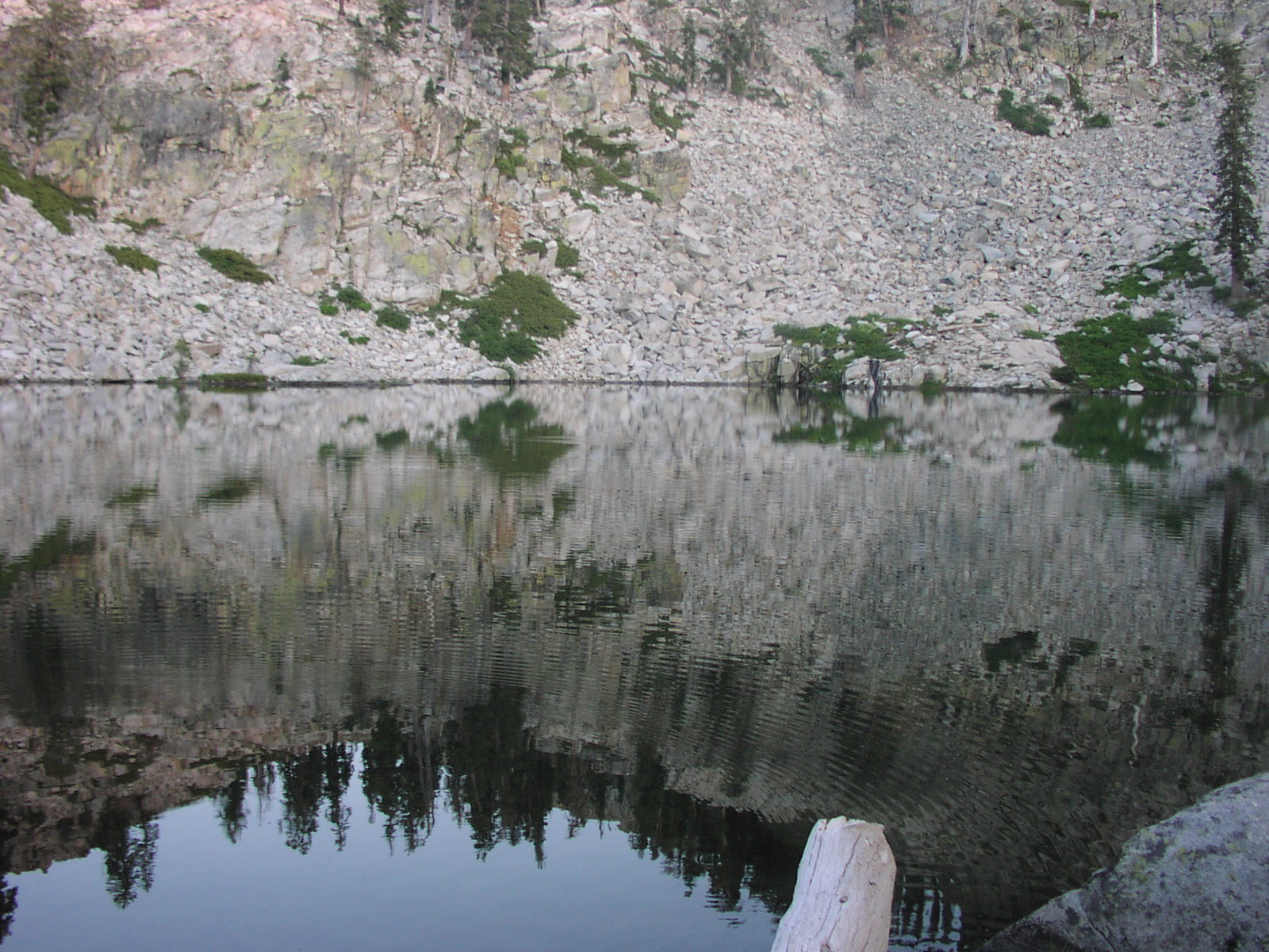
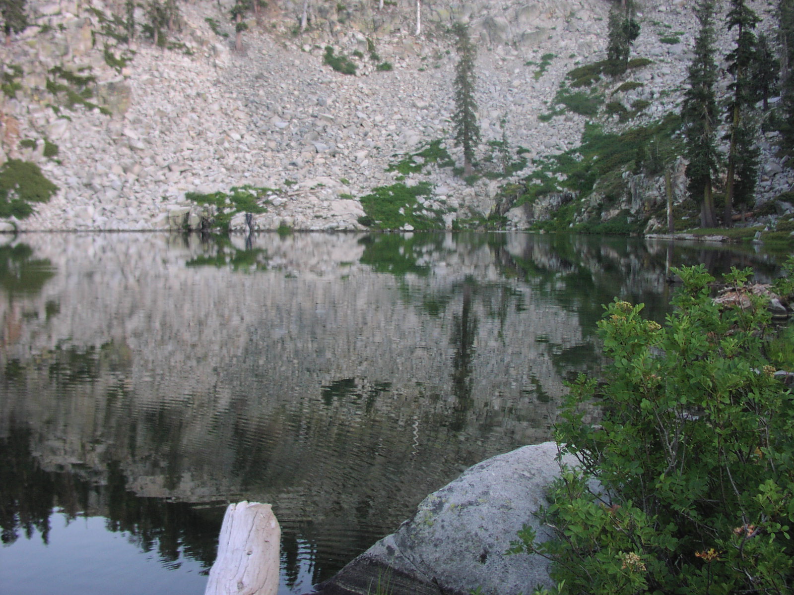
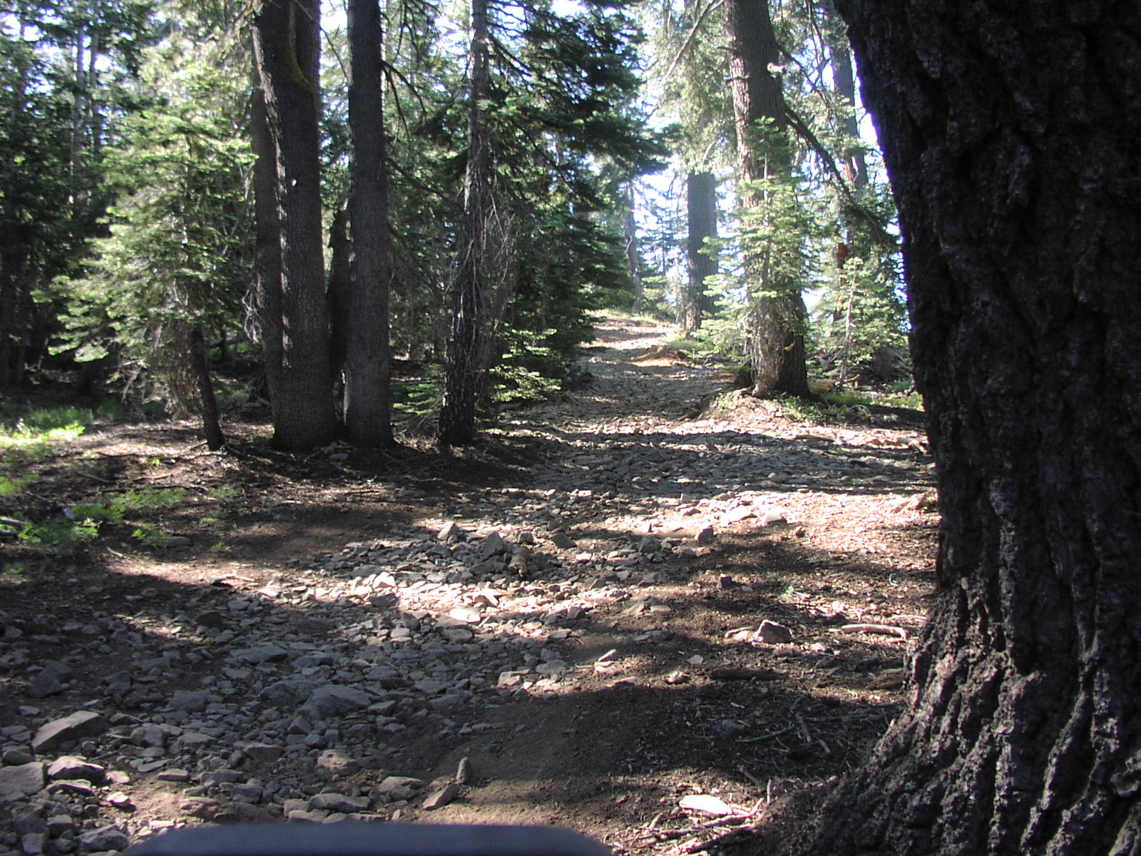
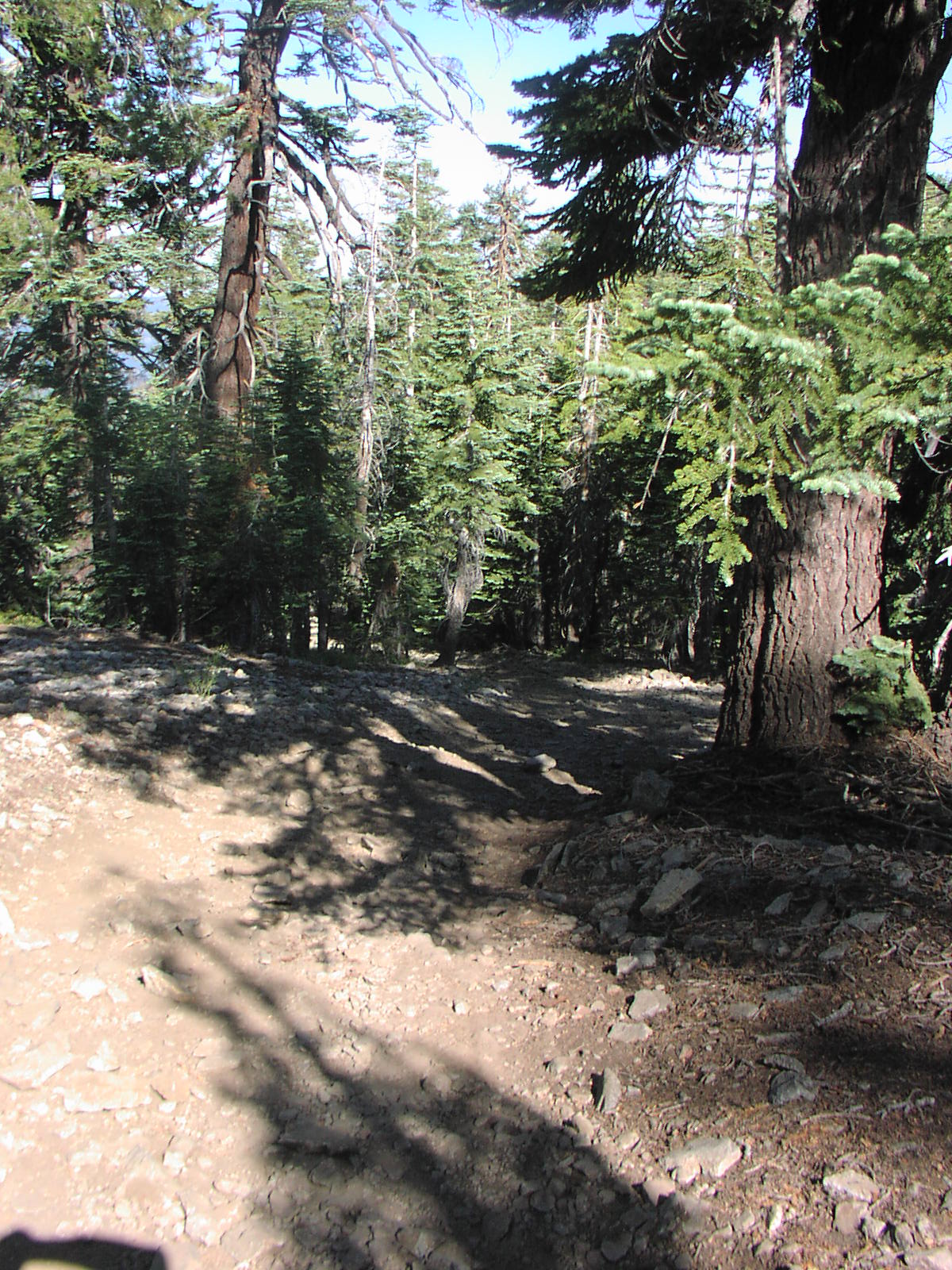
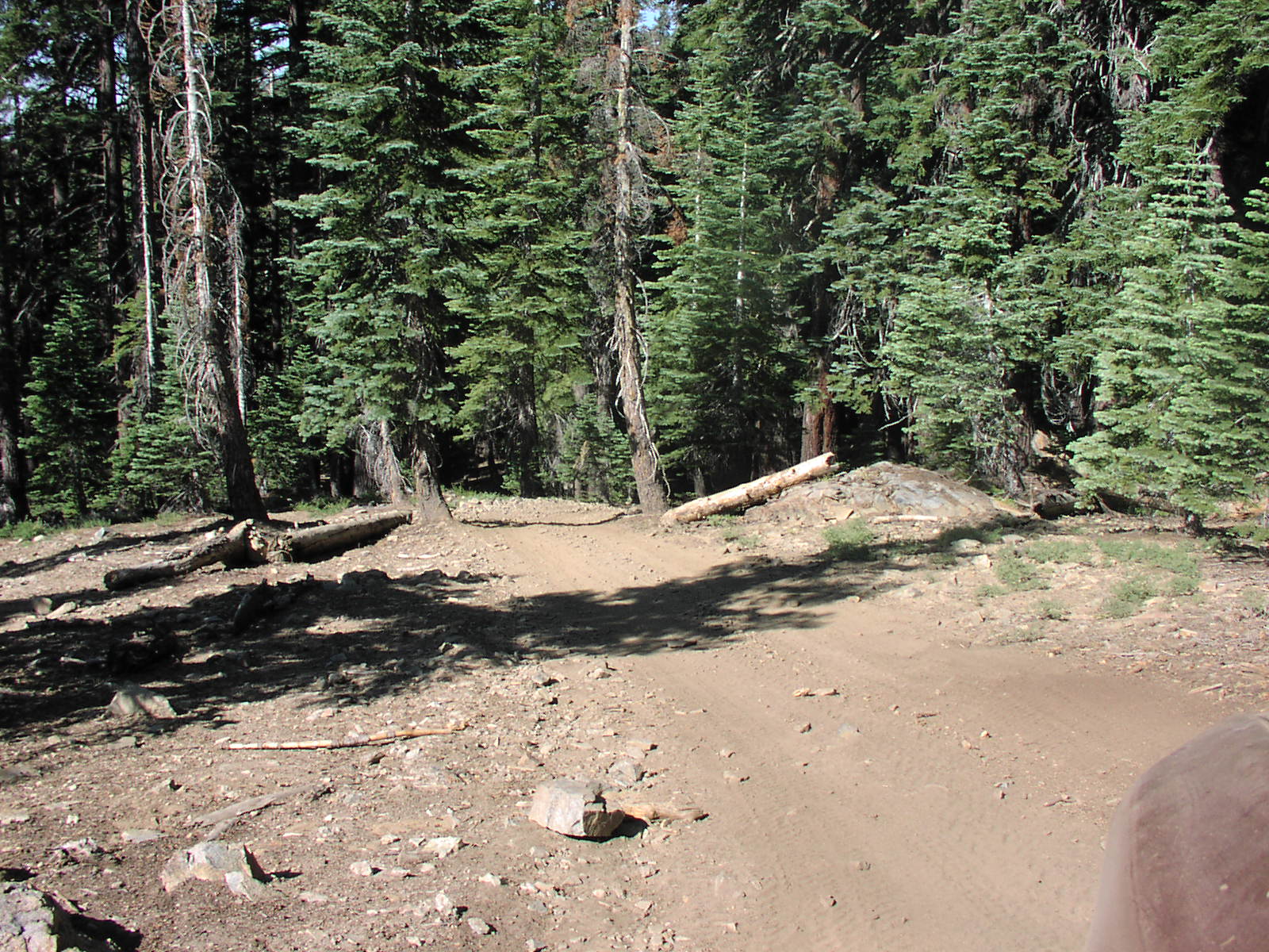
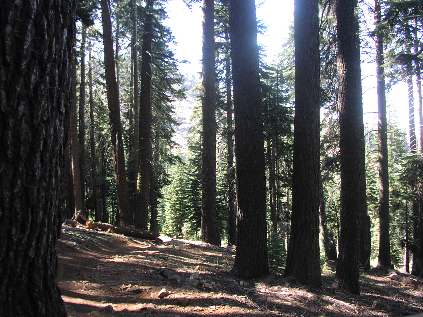
The trail ends at a camp ground on the ridge three quarters of a mile away from Star Lakes and 500ft above.
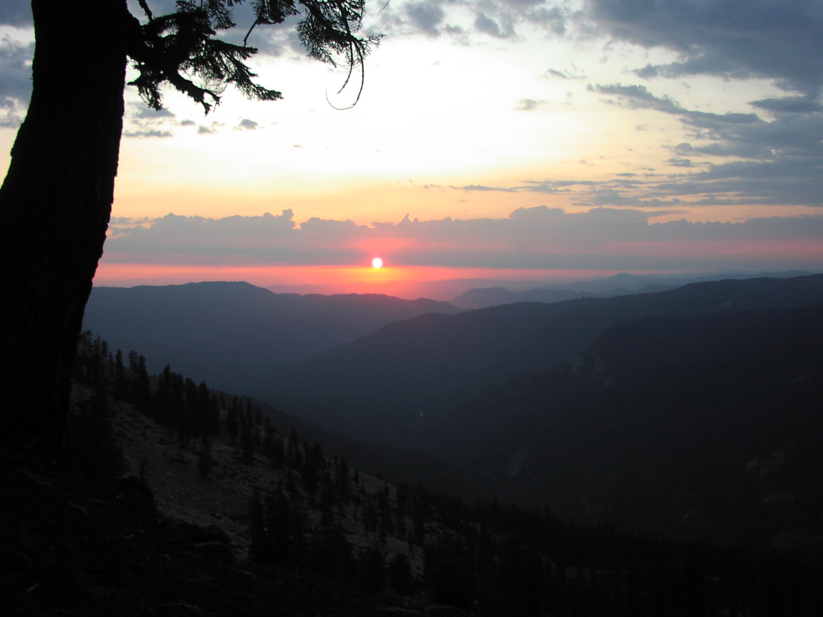
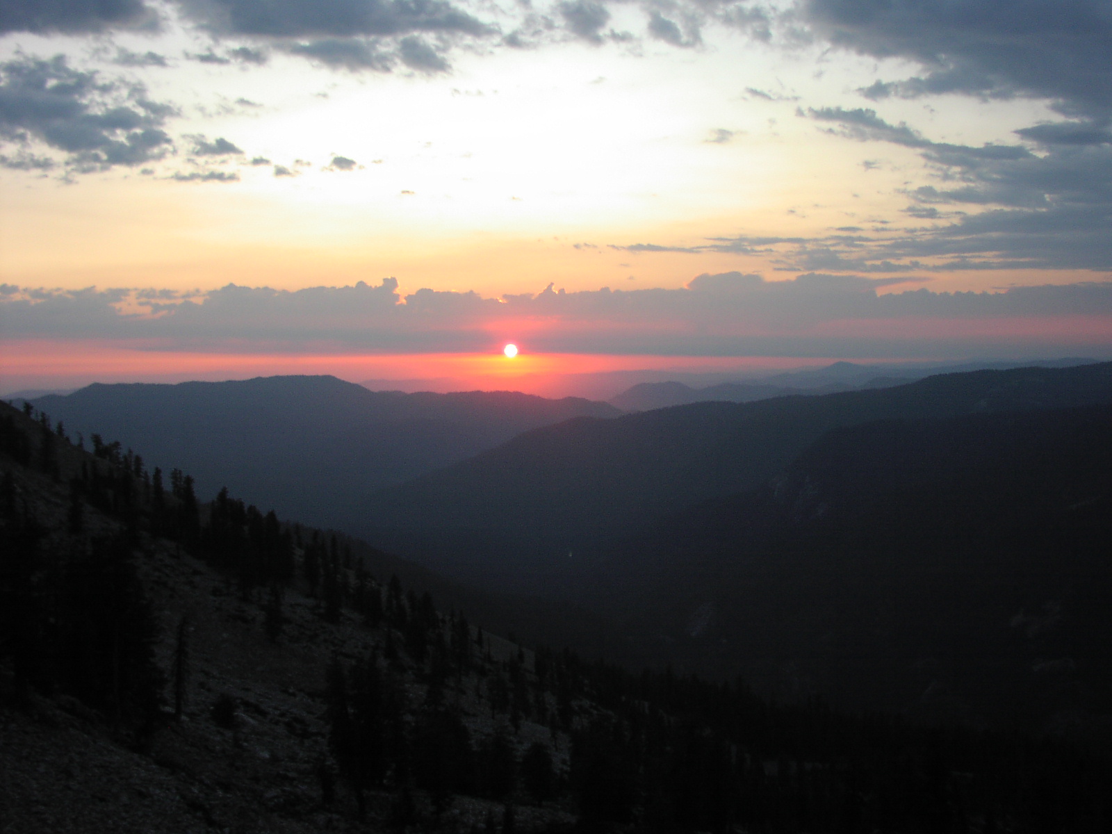
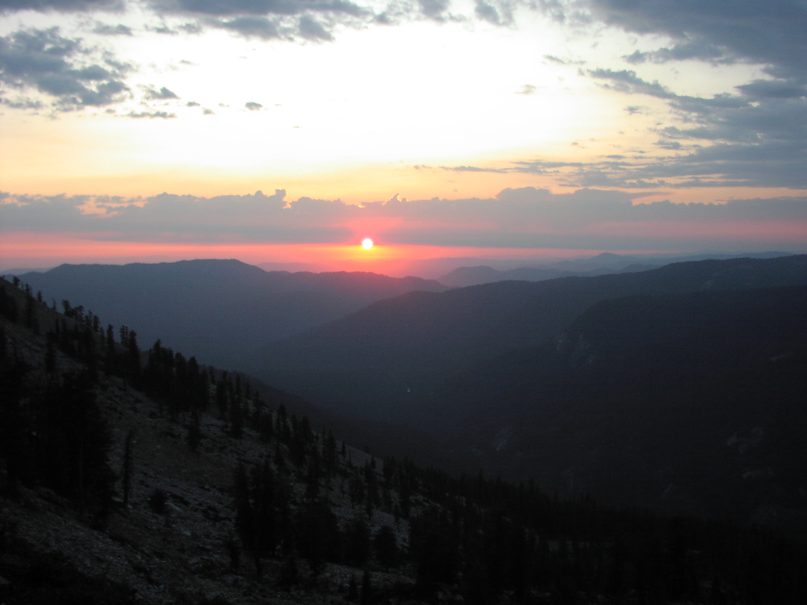
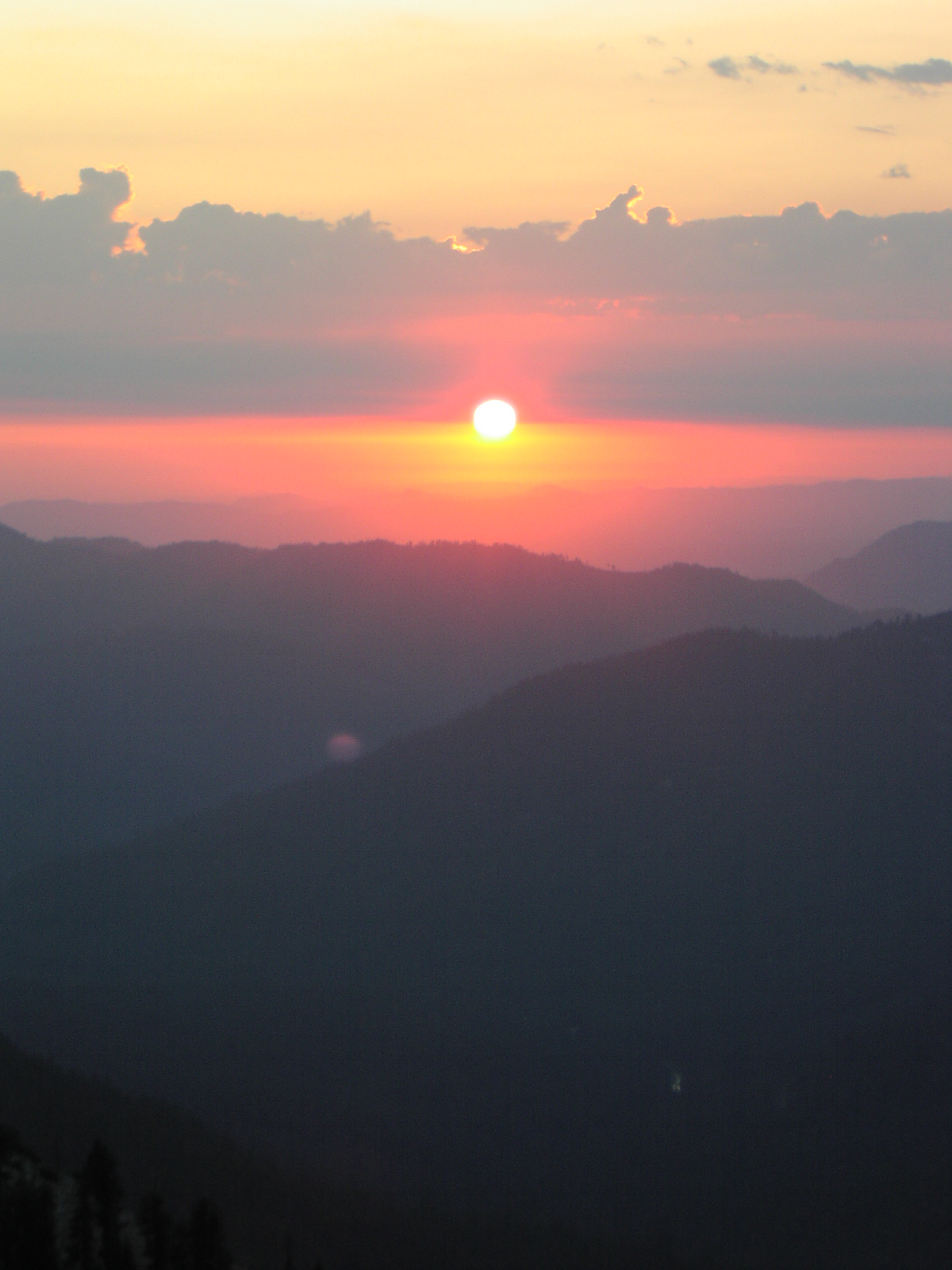
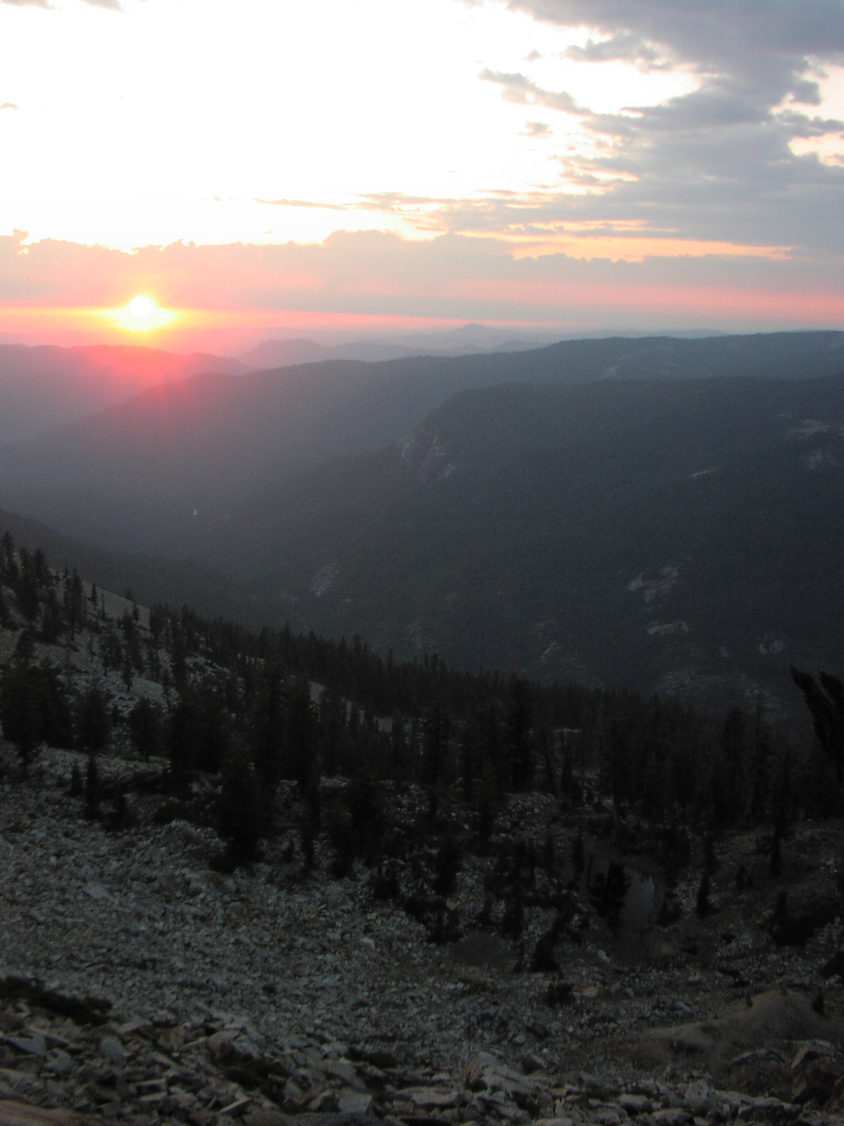
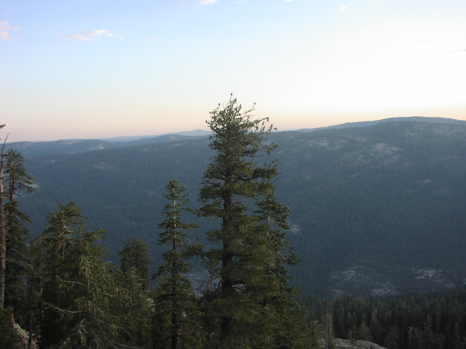
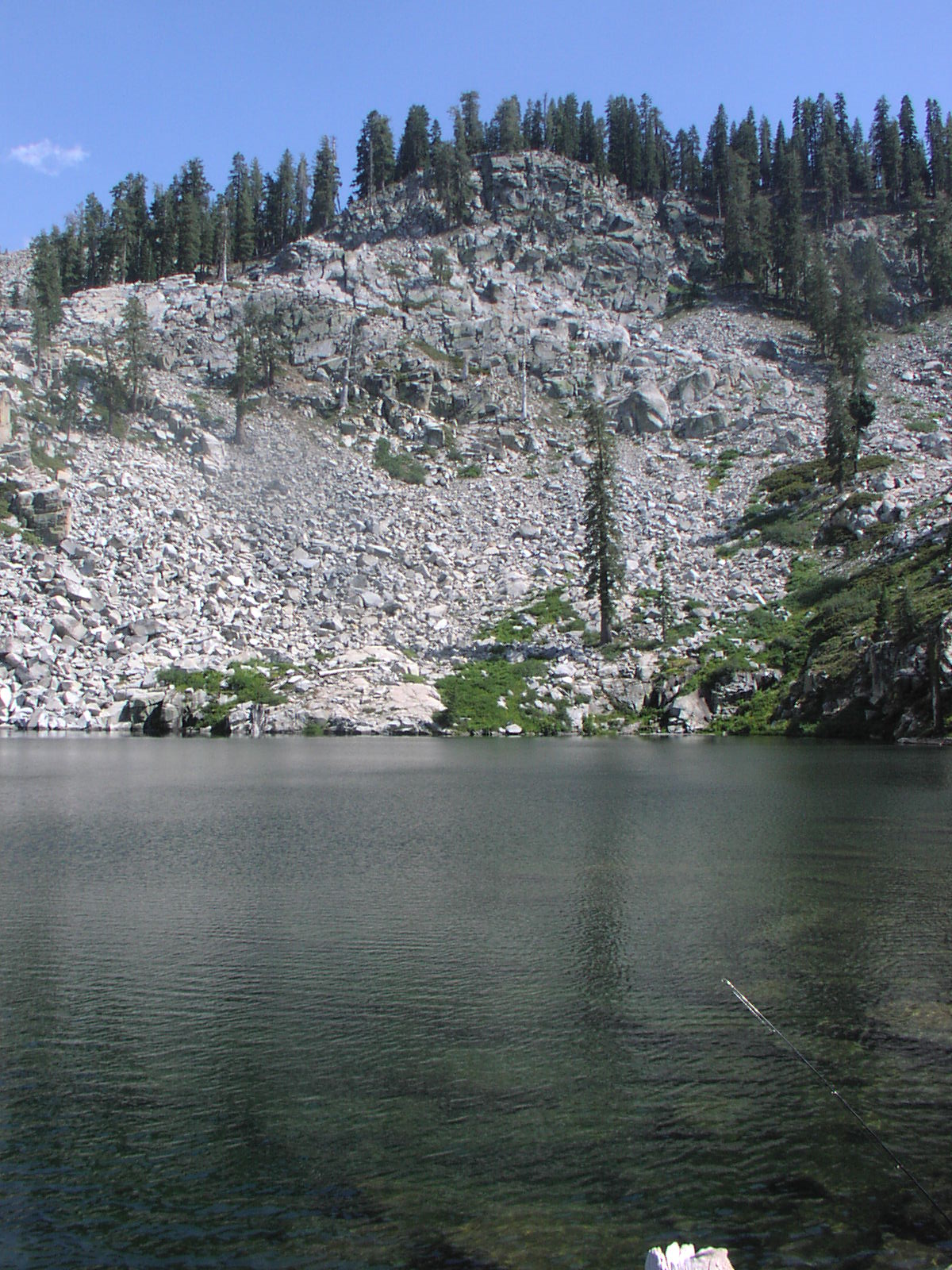
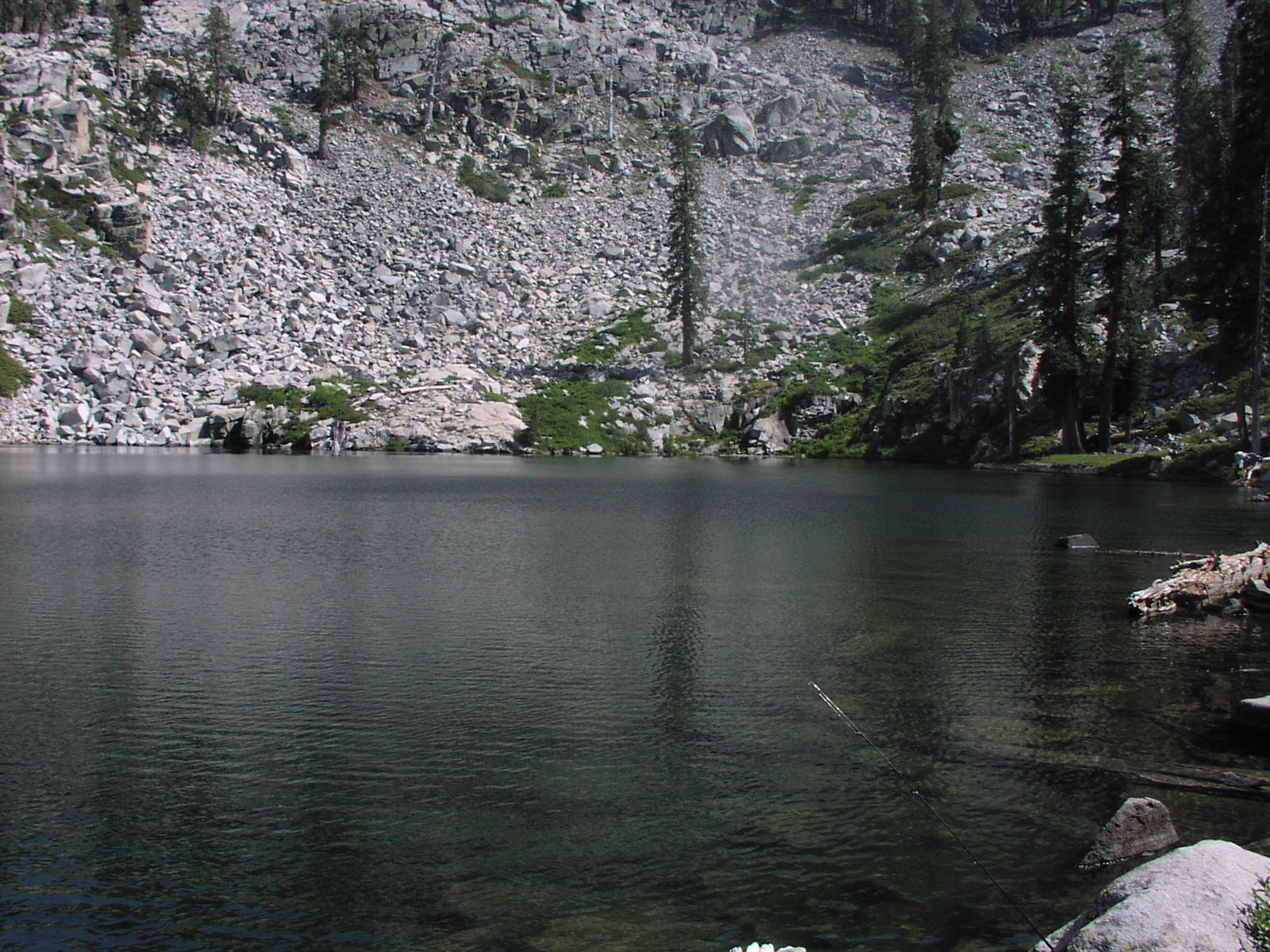
There is not any water on the ridge if you plan on staying bring extra water and do not plan on filtering water unless you want to walk down to Star Lakes every day. The view from the ridge is amazing. When I looked north I could see a long ways into Yosemite. When I looked east I could see almost to the Central Valley. At night I could see the lights of the cities in the Central Valley. Star Mine is also down the ridge and has lost of old mining stuff to see. There is one open shaft and I recommend staying out! |
| Location | Sierra National Forest |
| Directions | Google Maps from Fresno |
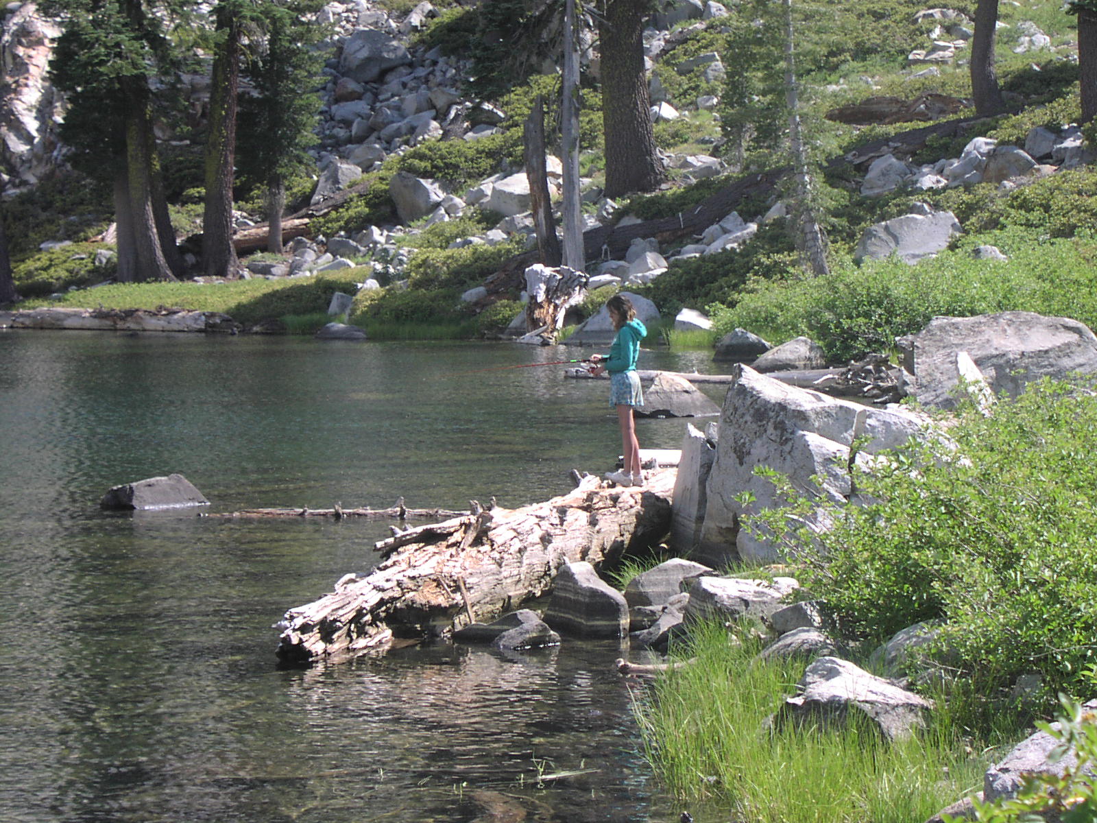
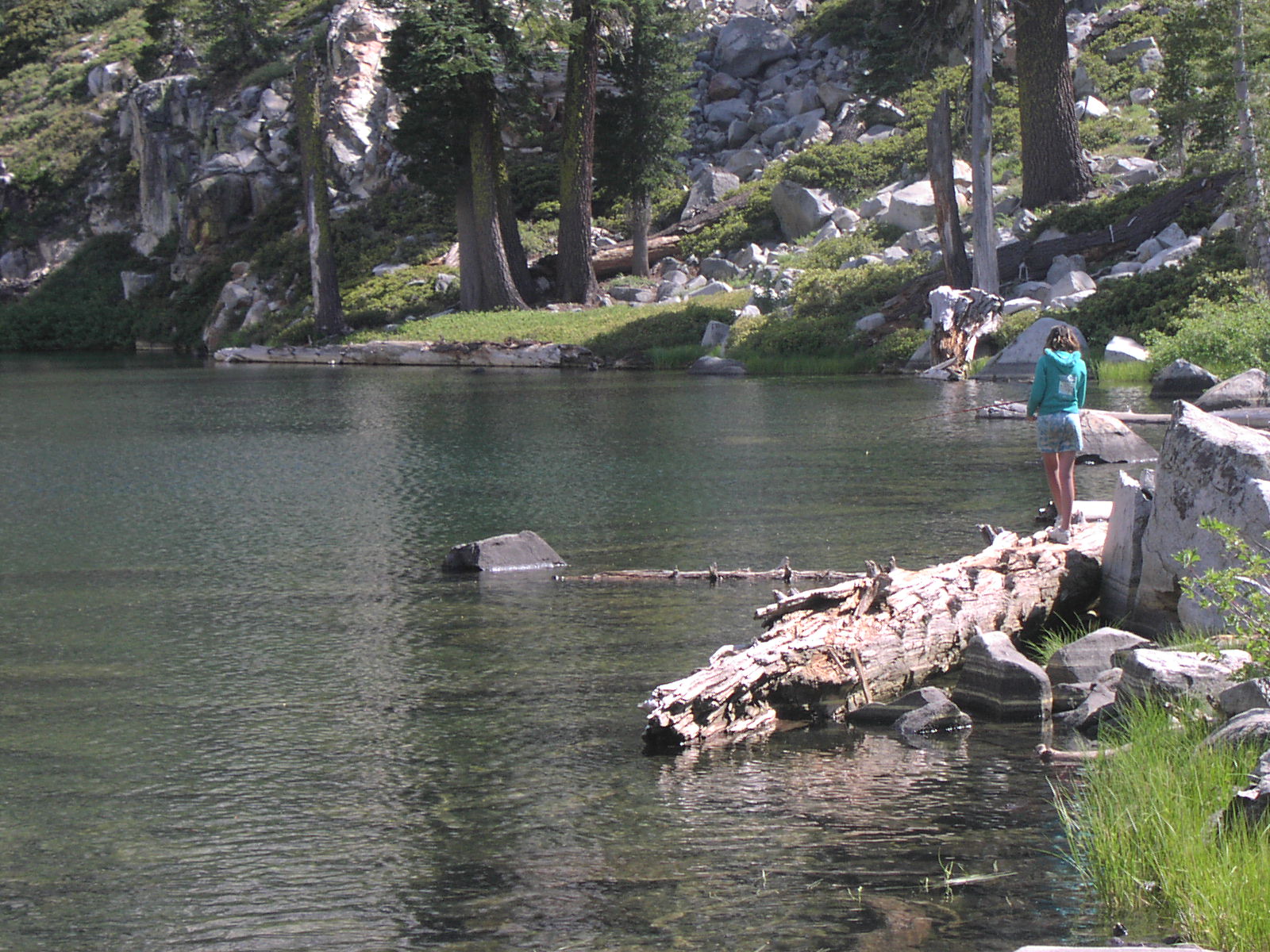
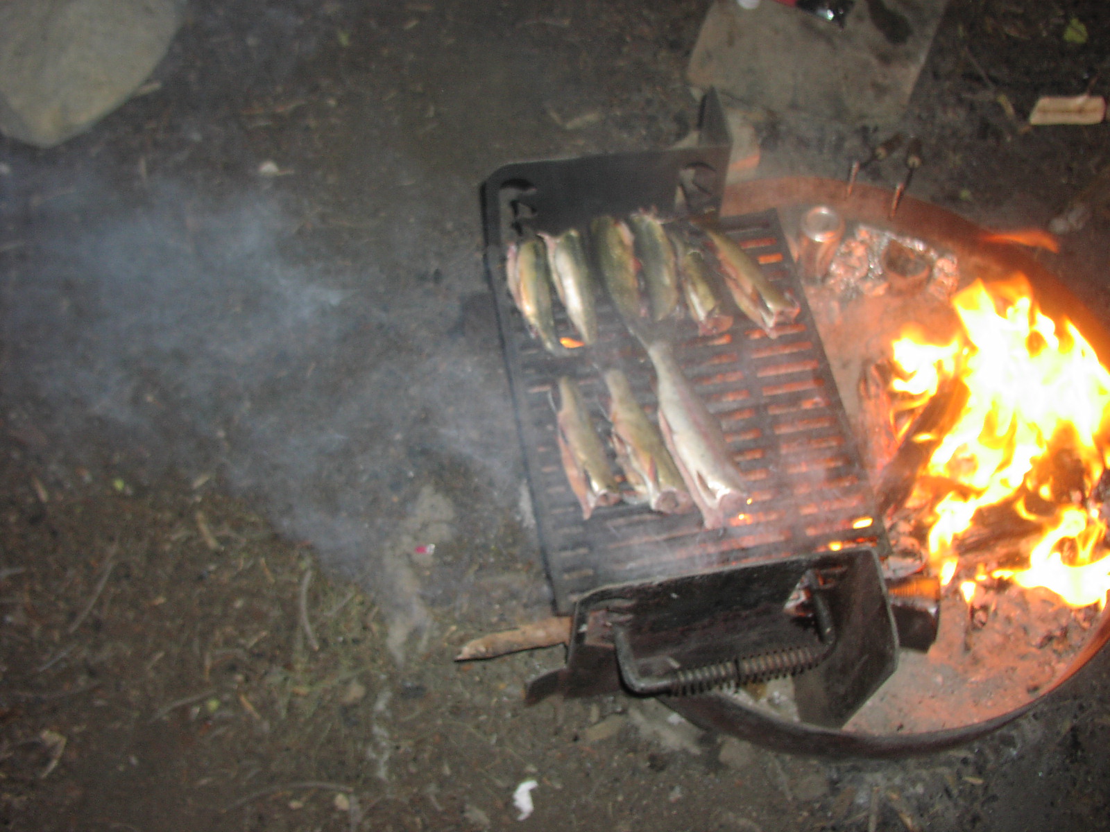
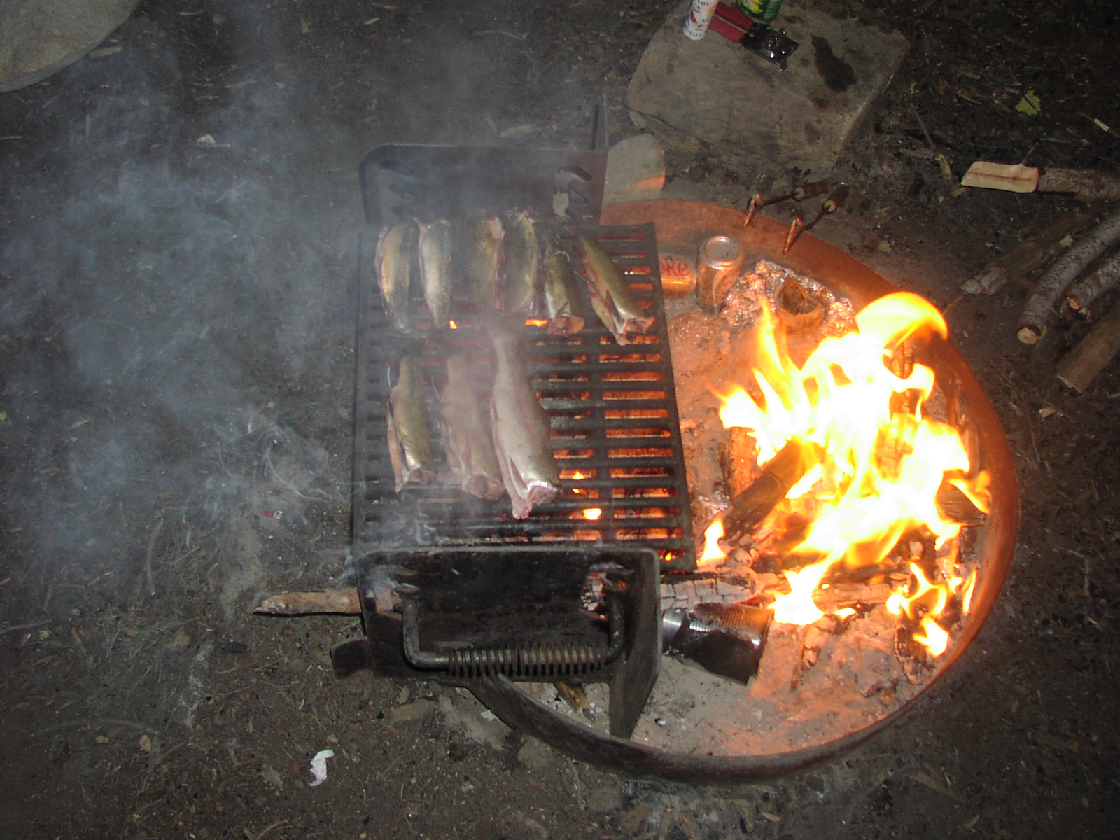
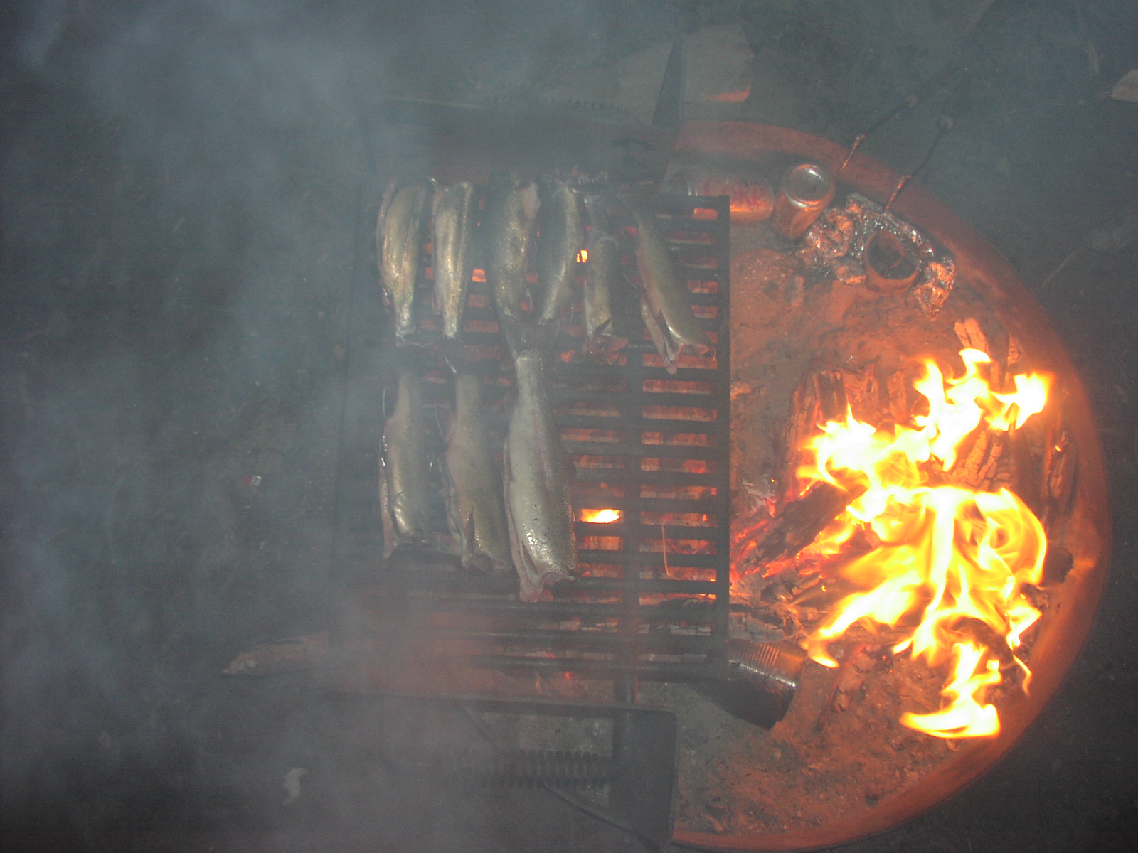
| Fishing | Good in morning and evening |
| Camping | On the ridge and at the lakes |
| Elevation | 7900 - 8500 |
| Latitude | 37° 30' 44" N |
| Longitude | 119° 33' 2" W |
| Weather | National Weather Service |
| Map Index | D-2 (Sierra National Forest) |
| Maps |
Small Map of Area Sierra National Forest Map (9MB) |
| Adopted By | 4x 4Him Christian Wheelers |
| Links | USDA Forest Service - Sierra National Forest |
| Video | Star Lakes 2008 |
View Larger Map

|